General Information
Internal Identifier UFZ_CT_04
| Soil Type | Luvisol |
|---|
| Classification | WRB |
|---|
|
| Location | Luettewitz |
|---|
| Latitude | 51.1183 |
|---|
| Longitude | 13.2286 |
|---|
|
| Landuse | agricultural crop rotation |
|---|
| Tillage | conventional tillage |
|---|
| Crop | winter wheat, sugar beet, winter wheat |
|---|
|
| Sampling Depth | 10.0 |
|---|
| Sample Height | 10.0 |
|---|
| Sampling Date | March 27, 2018 |
|---|
| Voxel size | 0.06 |
|---|
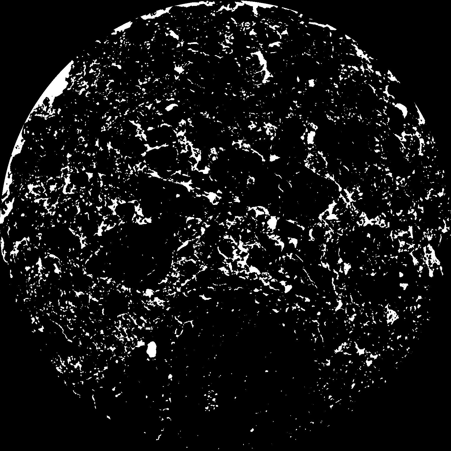
| Pores white? | True |
|---|
|
| XY Plane |

|
|---|
|
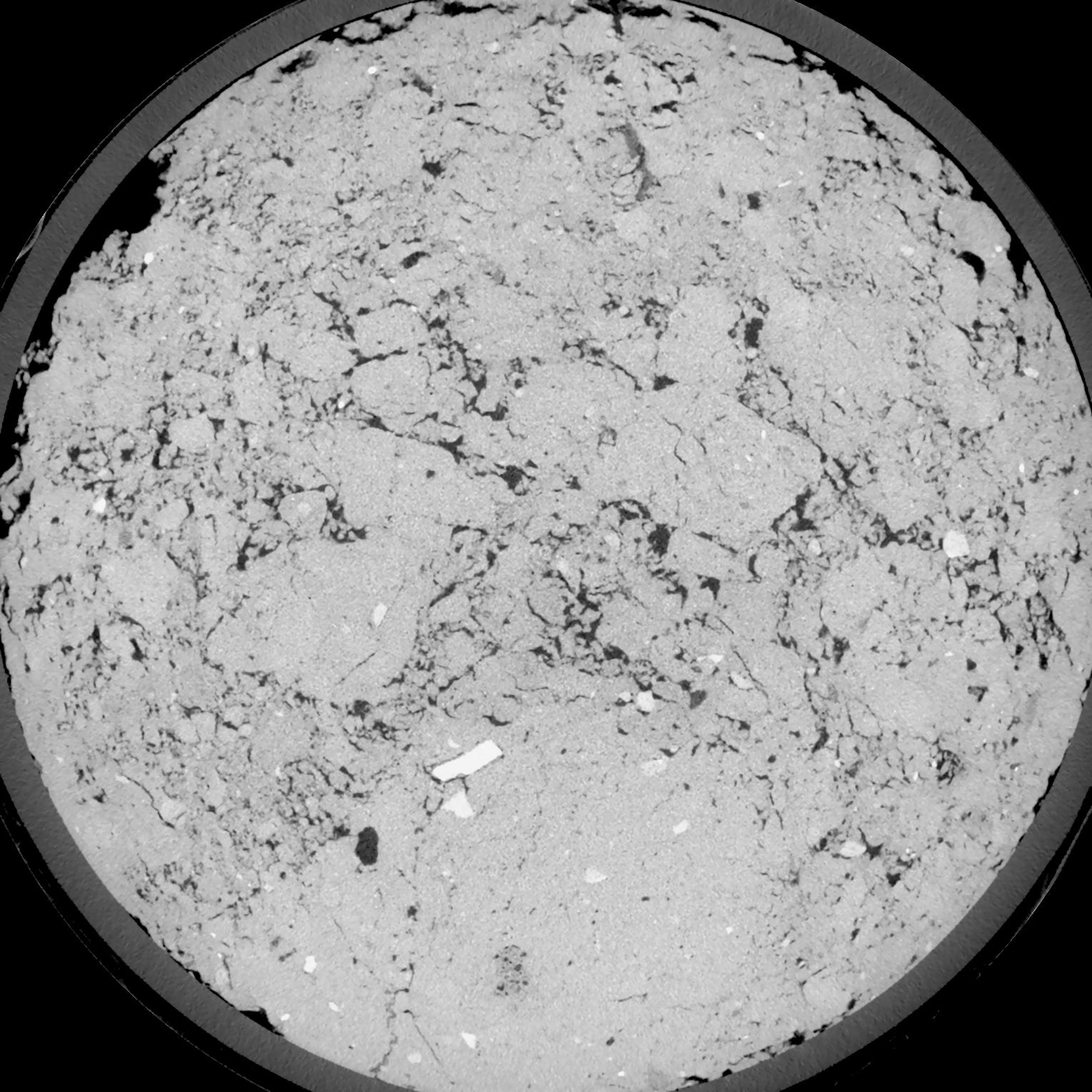
| XY Plane Grey |

|
|---|
|
| Texture | silt loam |
|---|
| Sand | 18.0 |
|---|
| Silt | 78.0 |
|---|
| Clay | 4.0 |
|---|
|
| Bulk density | 1.42 |
|---|
| org. Carbon | 12.1 |
|---|
| six month after last tillage, field trial running for 26 years |
|---|
| Binary File Download |
|---|
|
Results
| Porosity | Surface | Mean Curvature | Euler | MeanPoreSize | Gamma | PoreDist |
| 0.1012 | 1.046 | 0.495555556 | 0.374768519 | 0.0 | 0.7458 | 0.381410659 |
| Opening size | Volume | Surface | MeanCurvature | Euler number |
|---|
| 0.12 | 0.1012 | 1.046 | 0.495555556 | 0.374768519 |
| 0.15 | 0.09711 | 0.936 | 0.384444444 | 0.066111111 |
| 0.18 | 0.0928 | 0.851 | 0.315555556 | -0.038649537 |
| 0.21 | 0.0881 | 0.774833333 | 0.271666667 | -0.009577315 |
| 0.24 | 0.08565 | 0.740666667 | 0.266972222 | 0.098611111 |
| 0.27 | 0.07057 | 0.550833333 | 0.178416667 | 0.058518519 |
| 0.3 | 0.06341 | 0.473166667 | 0.150583333 | 0.074861111 |
| 0.36 | 0.05385 | 0.3735 | 0.117444444 | 0.080694444 |
| 0.42 | 0.03852 | 0.2335 | 0.0665 | 0.049444444 |
| 0.48 | 0.03076 | 0.171 | 0.045916667 | 0.033790278 |
| 0.54 | 0.02194 | 0.106883333 | 0.025355556 | 0.018465741 |
| 0.6000000000000001 | 0.01852 | 0.08445 | 0.018986111 | 0.012806481 |
| 0.6599999999999999 | 0.01356 | 0.054916667 | 0.010919444 | 0.007047685 |
| 0.72 | 0.01155 | 0.0436 | 0.008113889 | 0.00455912 |
| 0.78 | 0.009235 | 0.032216667 | 0.005530556 | 0.002970787 |
| 0.8400000000000001 | 0.008295 | 0.02765 | 0.004583333 | 0.002200139 |
| 0.8999999999999999 | 0.006711 | 0.02075 | 0.003183333 | 0.001500093 |
| 1.2 | 0.003346 | 0.008163333 | 0.001009111 | 0.000405907 |
| 1.5 | 0.001833 | 0.003708333 | 0.000387917 | 0.000135301 |
| 1.8 | 0.00113 | 0.001953333 | 0.000181069 | 0.000070593 |
| 2.1 | 0.0007601 | 0.0011495 | 0.000094242 | 0.000035296 |
| 2.7 | 0.000425 | 0.000491833 | 0.000029297 | 0.000005883 |
| 3.3000000000000003 | 0.0002828 | 0.000281167 | 0.000013413 | 0.00000176 |
| 3.9 | 0.0002281 | 0.000233167 | 0.000012001 | 0.000003519 |
Reference: An open Soil Structure Library based on X-ray CT data


