General Information
Internal Identifier UFZ_CT_07
| Soil Type | Luvisol |
|---|
| Classification | WRB |
|---|
|
| Location | Luettewitz |
|---|
| Latitude | 51.1183 |
|---|
| Longitude | 13.2286 |
|---|
|
| Landuse | agricultural crop rotation |
|---|
| Tillage | conventional tillage |
|---|
| Crop | winter wheat, sugar beet, winter wheat |
|---|
|
| Sampling Depth | 10.0 |
|---|
| Sample Height | 10.0 |
|---|
| Sampling Date | March 27, 2018 |
|---|
| Voxel size | 0.06 |
|---|
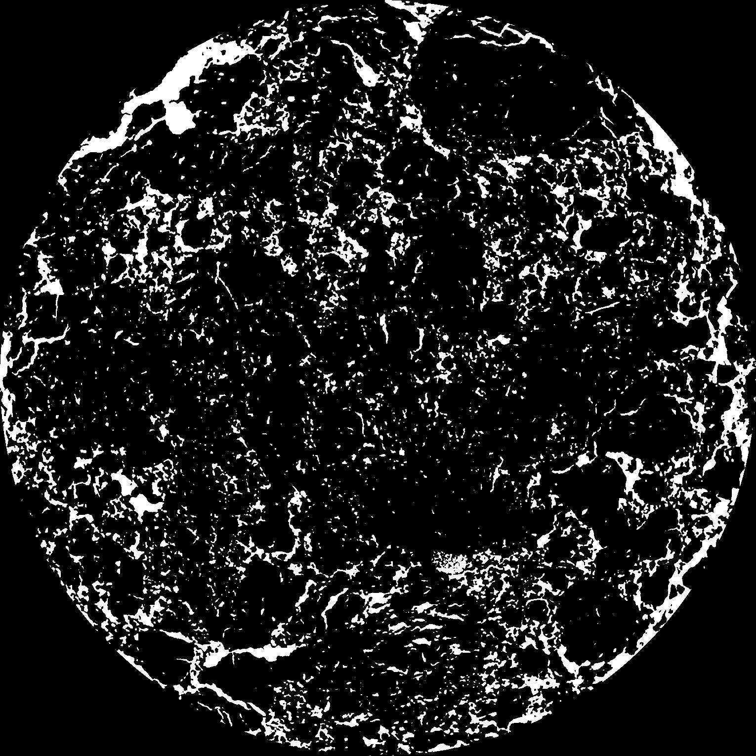
| Pores white? | True |
|---|
|
| XY Plane |

|
|---|
|
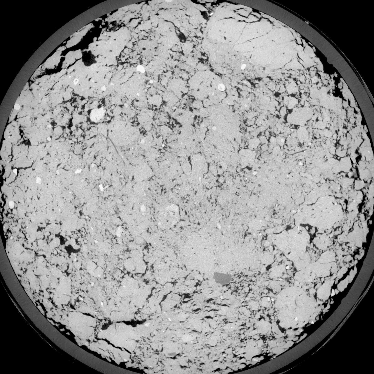
| XY Plane Grey |

|
|---|
|
| Texture | silt loam |
|---|
| Sand | 4.0 |
|---|
| Silt | 78.0 |
|---|
| Clay | 18.0 |
|---|
|
| Bulk density | 1.39 |
|---|
| org. Carbon | 12.1 |
|---|
| six month after last tillage, field trial running for 26 years |
|---|
| Binary File Download |
|---|
|
Results
| Porosity | Surface | Mean Curvature | Euler | MeanPoreSize | Gamma | PoreDist |
| 0.1624 | 1.400833333 | 0.466666667 | -0.168287037 | 0.0 | 0.9081 | 0.308754632 |
| Opening size | Volume | Surface | MeanCurvature | Euler number |
|---|
| 0.12 | 0.1624 | 1.400833333 | 0.466666667 | -0.168287037 |
| 0.15 | 0.1585 | 1.288166667 | 0.376388889 | -0.267546296 |
| 0.18 | 0.1538 | 1.201666667 | 0.319444444 | -0.315740741 |
| 0.21 | 0.1484 | 1.121166667 | 0.284166667 | -0.236712963 |
| 0.24 | 0.1454 | 1.0805 | 0.283055556 | -0.090462963 |
| 0.27 | 0.1265 | 0.866 | 0.213222222 | -0.059305556 |
| 0.3 | 0.1167 | 0.769 | 0.189722222 | -0.003859074 |
| 0.36 | 0.1031 | 0.6375 | 0.158777778 | 0.050972222 |
| 0.42 | 0.07931 | 0.438666667 | 0.104055556 | 0.050740741 |
| 0.48 | 0.06603 | 0.34 | 0.078111111 | 0.041843519 |
| 0.54 | 0.0495 | 0.228166667 | 0.047916667 | 0.027789815 |
| 0.6000000000000001 | 0.04269 | 0.186 | 0.0375 | 0.020606944 |
| 0.6599999999999999 | 0.03212 | 0.126716667 | 0.023244444 | 0.013124074 |
| 0.72 | 0.0276 | 0.102333333 | 0.017752778 | 0.008847685 |
| 0.78 | 0.02225 | 0.076783333 | 0.012322222 | 0.005841667 |
| 0.8400000000000001 | 0.02007 | 0.06655 | 0.010319444 | 0.004353194 |
| 0.8999999999999999 | 0.01629 | 0.050883333 | 0.007377778 | 0.002882546 |
| 1.2 | 0.007536 | 0.019633333 | 0.002484861 | 0.000876528 |
| 1.5 | 0.003468 | 0.007605 | 0.000835111 | 0.000294134 |
| 1.8 | 0.001827 | 0.003401667 | 0.000305306 | 0.000082356 |
| 2.1 | 0.001024 | 0.001755 | 0.000147539 | 0.000041179 |
| 2.7 | 0.0003524 | 0.000573 | 0.00004765 | 0.000011765 |
| 3.3000000000000003 | 0.000049 | 0.000066012 | 0.000004589 | 0.000000886 |
Reference: An open Soil Structure Library based on X-ray CT data


