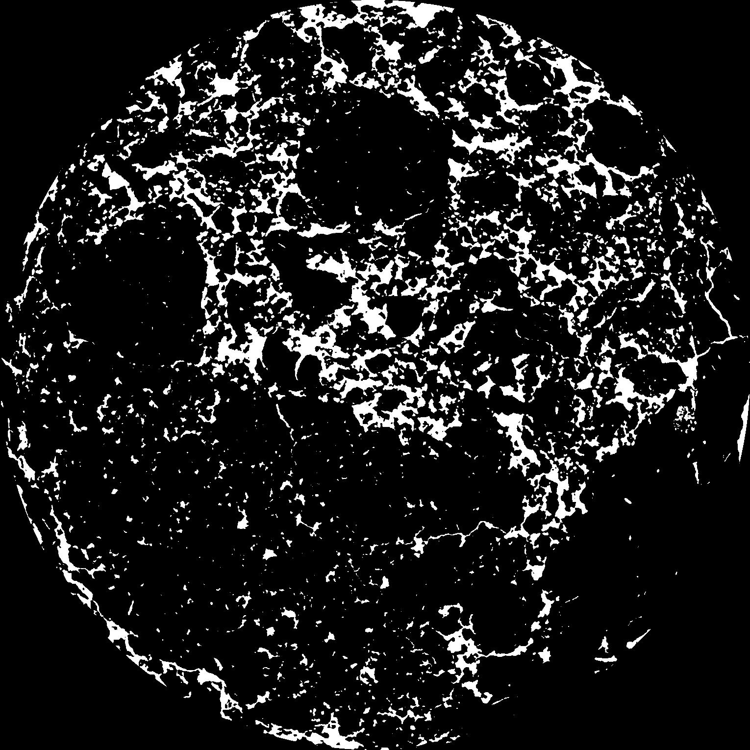
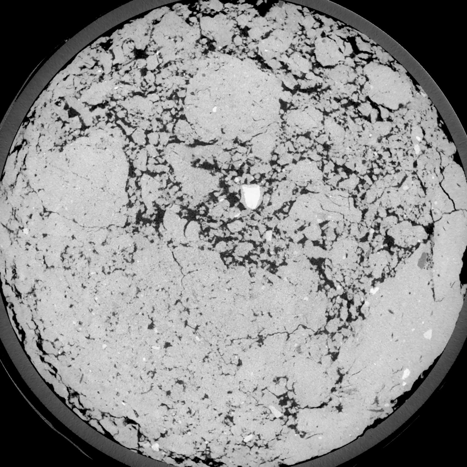
General Information
Internal Identifier UFZ_CT_08
| Soil Type | Luvisol |
|---|
| Classification | WRB |
|---|
|
| Location | Luettewitz |
|---|
| Latitude | 51.1183 |
|---|
| Longitude | 13.2286 |
|---|
|
| Landuse | agricultural crop rotation |
|---|
| Tillage | conventional tillage |
|---|
| Crop | winter wheat, sugar beet, winter wheat |
|---|
|
| Sampling Depth | 10.0 |
|---|
| Sample Height | 10.0 |
|---|
| Sampling Date | March 27, 2018 |
|---|
| Voxel size | 0.06 |
|---|
| Pores white? | True |
|---|
|
| XY Plane |

|
|---|
|
| XY Plane Grey |

|
|---|
|
| Texture | silt loam |
|---|
| Sand | 4.0 |
|---|
| Silt | 78.0 |
|---|
| Clay | 18.0 |
|---|
|
| Bulk density | 1.37 |
|---|
| org. Carbon | 12.1 |
|---|
| six month after last tillage, field trial running for 26 years |
|---|
| Binary File Download |
|---|
|
Results
| Porosity | Surface | Mean Curvature | Euler | MeanPoreSize | Gamma | PoreDist |
| 0.1555 | 1.0035 | 0.260611111 | -0.002347222 | 0.0 | 0.9207 | 0.432179024 |
| Opening size | Volume | Surface | MeanCurvature | Euler number |
|---|
| 0.12 | 0.1555 | 1.0035 | 0.260611111 | -0.002347222 |
| 0.15 | 0.1531 | 0.934666667 | 0.204722222 | -0.107685185 |
| 0.18 | 0.1504 | 0.885666667 | 0.171833333 | -0.162638889 |
| 0.21 | 0.1477 | 0.8445 | 0.153416667 | -0.140555556 |
| 0.24 | 0.1461 | 0.823833333 | 0.152666667 | -0.076296296 |
| 0.27 | 0.1363 | 0.717333333 | 0.121555556 | -0.079490741 |
| 0.3 | 0.1309 | 0.6675 | 0.112388889 | -0.050416667 |
| 0.36 | 0.1228 | 0.593166667 | 0.100194444 | -0.010853704 |
| 0.42 | 0.1069 | 0.474833333 | 0.078861111 | 0.007635648 |
| 0.48 | 0.09647 | 0.405666667 | 0.067111111 | 0.012989352 |
| 0.54 | 0.08137 | 0.316 | 0.050472222 | 0.016960185 |
| 0.6000000000000001 | 0.07407 | 0.275 | 0.043 | 0.013536111 |
| 0.6599999999999999 | 0.06147 | 0.2125 | 0.031972222 | 0.013024537 |
| 0.72 | 0.05526 | 0.181666667 | 0.026480556 | 0.009394907 |
| 0.78 | 0.04717 | 0.146616667 | 0.020655556 | 0.007818056 |
| 0.8400000000000001 | 0.04351 | 0.1304 | 0.017969444 | 0.006176852 |
| 0.8999999999999999 | 0.0368 | 0.104016667 | 0.013652778 | 0.004718056 |
| 1.2 | 0.02033 | 0.0469 | 0.005277778 | 0.001735417 |
| 1.5 | 0.01187 | 0.02295 | 0.002198639 | 0.000688287 |
| 1.8 | 0.007216 | 0.012168333 | 0.001068444 | 0.000305903 |
| 2.1 | 0.004366 | 0.006235 | 0.0004825 | 0.000147069 |
| 2.7 | 0.002066 | 0.00209 | 0.000111892 | 0.000029414 |
| 3.3000000000000003 | 0.001271 | 0.000992833 | 0.000034239 | 0.000005883 |
| 3.9 | 0.001042 | 0.000771333 | 0.000024355 | 0.000001735 |
| 4.5 | 0.0007695 | 0.000564667 | 0.00001906 | 0.000001735 |
| 5.1 | 0.0005418 | 0.000416167 | 0.000015884 | 0.000003471 |
| 5.699999999999999 | 0.0003713 | 0.000307667 | 0.00001306 | 0.000001735 |
| 6.3 | 0.0002484 | 0.000229667 | 0.000011295 | 0.000001735 |
Reference: An open Soil Structure Library based on X-ray CT data


