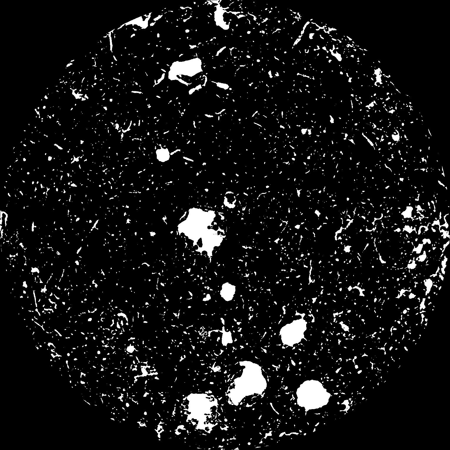
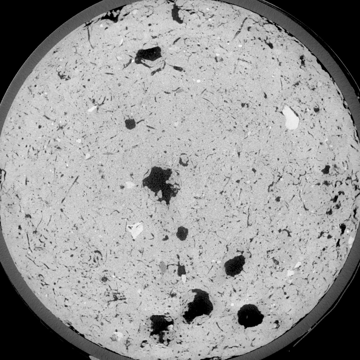
General Information
Internal Identifier UFZ_NT_03
| Soil Type | Luvisol |
|---|
| Classification | WRB |
|---|
|
| Location | Luettewitz |
|---|
| Latitude | 51.1183 |
|---|
| Longitude | 13.2286 |
|---|
|
| Landuse | agricultural crop rotation |
|---|
| Tillage | no tillage |
|---|
| Crop | winter wheat, sugar beet, winter wheat |
|---|
|
| Sampling Depth | 10.0 |
|---|
| Sample Height | 10.0 |
|---|
| Sampling Date | March 27, 2018 |
|---|
| Voxel size | 0.06 |
|---|
| Pores white? | True |
|---|
|
| XY Plane |

|
|---|
|
| XY Plane Grey |

|
|---|
|
| Texture | silt loam |
|---|
| Sand | 3.0 |
|---|
| Silt | 77.0 |
|---|
| Clay | 20.0 |
|---|
|
| Bulk density | 1.49 |
|---|
| org. Carbon | 12.8 |
|---|
| six month after last tillage, field trial running for 26 years |
|---|
| Binary File Download |
|---|
|
Results
| Porosity | Surface | Mean Curvature | Euler | MeanPoreSize | Gamma | PoreDist |
| 0.08379 | 0.7585 | 0.496666667 | 0.88287037 | 0.0 | 0.6583 | 0.319661452 |
| Opening size | Volume | Surface | MeanCurvature | Euler number |
|---|
| 0.12 | 0.08379 | 0.7585 | 0.496666667 | 0.88287037 |
| 0.15 | 0.07967 | 0.650833333 | 0.369722222 | 0.461666667 |
| 0.18 | 0.07527 | 0.555166667 | 0.274 | 0.27337963 |
| 0.21 | 0.07105 | 0.478666667 | 0.213944444 | 0.212268519 |
| 0.24 | 0.06931 | 0.4525 | 0.204972222 | 0.266435185 |
| 0.27 | 0.05965 | 0.311166667 | 0.108694444 | 0.103564815 |
| 0.3 | 0.05602 | 0.267 | 0.085916667 | 0.082314815 |
| 0.36 | 0.05135 | 0.214 | 0.061833333 | 0.057037037 |
| 0.42 | 0.04483 | 0.150616667 | 0.034277778 | 0.025772685 |
| 0.48 | 0.04149 | 0.123133333 | 0.024505556 | 0.01629537 |
| 0.54 | 0.03738 | 0.0936 | 0.015044444 | 0.009288889 |
| 0.6000000000000001 | 0.03558 | 0.082 | 0.011869444 | 0.006324074 |
| 0.6599999999999999 | 0.03297 | 0.067416667 | 0.008227778 | 0.004570926 |
| 0.72 | 0.03177 | 0.060966667 | 0.006822222 | 0.002906111 |
| 0.78 | 0.03028 | 0.054416667 | 0.005588889 | 0.002400185 |
| 0.8400000000000001 | 0.02955 | 0.0511 | 0.004997222 | 0.001694259 |
| 0.8999999999999999 | 0.02827 | 0.04615 | 0.004194444 | 0.001447176 |
| 1.2 | 0.0244 | 0.033316667 | 0.002403 | 0.000853009 |
| 1.5 | 0.02146 | 0.0256 | 0.001515639 | 0.000482407 |
| 1.8 | 0.0192 | 0.02065 | 0.0010395 | 0.000294139 |
| 2.1 | 0.0174 | 0.0175 | 0.000796639 | 0.000211782 |
| 2.7 | 0.01428 | 0.013076667 | 0.000537917 | 0.000088241 |
| 3.3000000000000003 | 0.01165 | 0.010106667 | 0.000404861 | 0.000076477 |
| 3.9 | 0.008936 | 0.007291667 | 0.000277778 | 0.000029414 |
| 4.5 | 0.006793 | 0.005243333 | 0.000191308 | 0.000023531 |
| 5.1 | 0.004397 | 0.00328 | 0.000116478 | 0.000011766 |
| 5.699999999999999 | 0.002275 | 0.001695 | 0.000065653 | 0.000005883 |
| 6.3 | 0.0008599 | 0.0005585 | 0.000018354 | 0.000001735 |
| 6.8999999999999995 | 0.0006505 | 0.000461833 | 0.000016589 | 0.000001735 |
Reference: An open Soil Structure Library based on X-ray CT data


