General Information
Internal Identifier UFZ_NT_04
| Soil Type | Luvisol |
|---|
| Classification | WRB |
|---|
|
| Location | Luettewitz |
|---|
| Latitude | 51.1183 |
|---|
| Longitude | 13.2286 |
|---|
|
| Landuse | agricultural crop rotation |
|---|
| Tillage | no tillage |
|---|
| Crop | winter wheat, sugar beet, winter wheat |
|---|
|
| Sampling Depth | 10.0 |
|---|
| Sample Height | 10.0 |
|---|
| Sampling Date | March 27, 2018 |
|---|
| Voxel size | 0.06 |
|---|
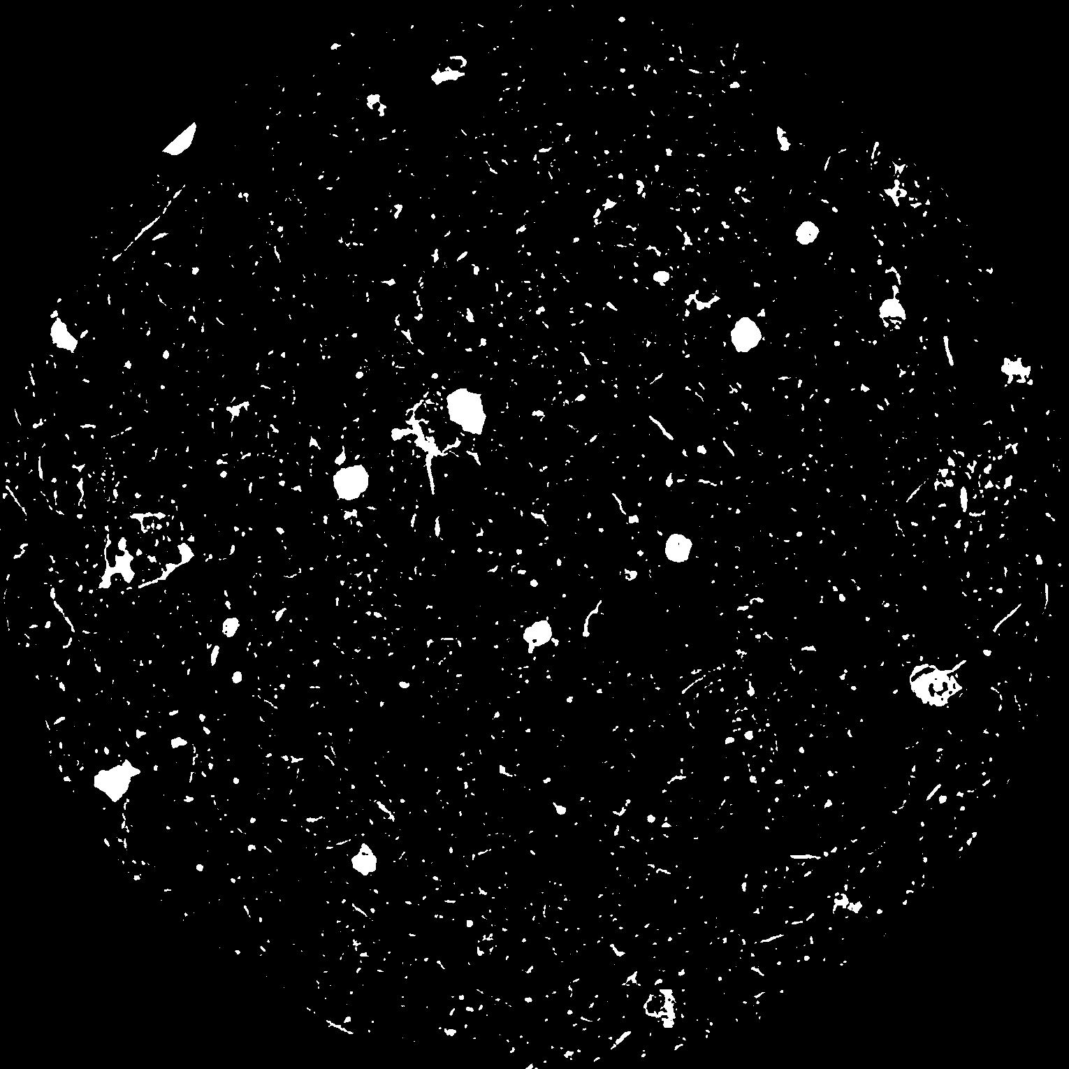
| Pores white? | True |
|---|
|
| XY Plane |

|
|---|
|
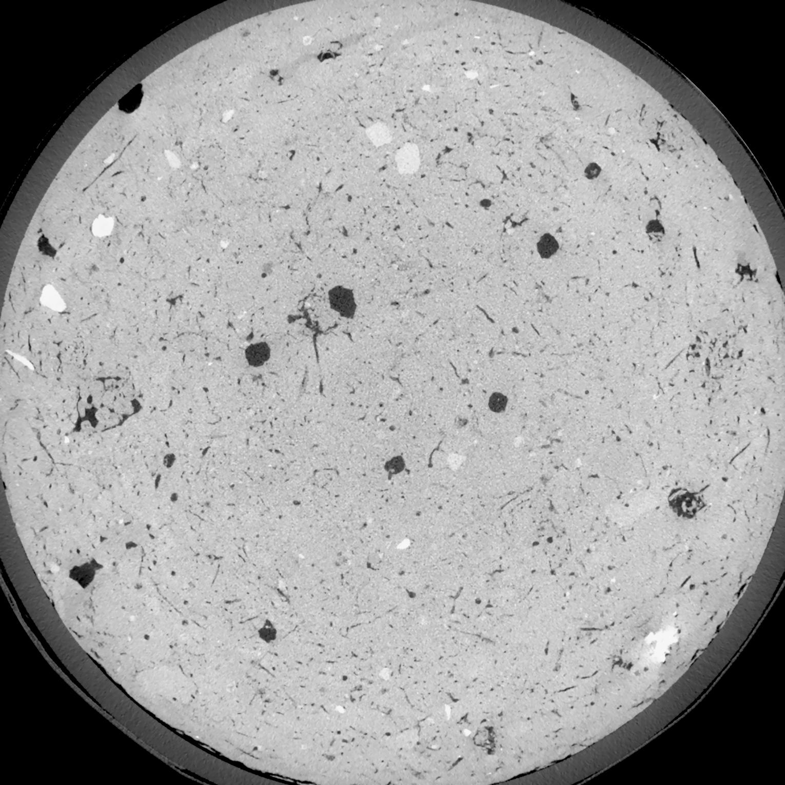
| XY Plane Grey |

|
|---|
|
| Texture | silt loam |
|---|
| Sand | 3.0 |
|---|
| Silt | 77.0 |
|---|
| Clay | 20.0 |
|---|
|
| Bulk density | 1.58 |
|---|
| org. Carbon | 12.8 |
|---|
| six month after last tillage, field trial running for 26 years |
|---|
| Binary File Download |
|---|
|
Results
| Porosity | Surface | Mean Curvature | Euler | MeanPoreSize | Gamma | PoreDist |
| 0.07992 | 0.705333333 | 0.408055556 | 0.760185185 | 0.0 | 0.7064 | 0.356052408 |
| Opening size | Volume | Surface | MeanCurvature | Euler number |
|---|
| 0.12 | 0.07992 | 0.705333333 | 0.408055556 | 0.760185185 |
| 0.15 | 0.07648 | 0.613333333 | 0.297777778 | 0.353564815 |
| 0.18 | 0.07294 | 0.536833333 | 0.220972222 | 0.17412037 |
| 0.21 | 0.06955 | 0.476666667 | 0.175194444 | 0.125185185 |
| 0.24 | 0.06811 | 0.4555 | 0.168972222 | 0.171481481 |
| 0.27 | 0.05971 | 0.3395 | 0.097277778 | 0.055972222 |
| 0.3 | 0.05629 | 0.300666667 | 0.080222222 | 0.047731481 |
| 0.36 | 0.05165 | 0.251333333 | 0.061722222 | 0.037972222 |
| 0.42 | 0.04431 | 0.1865 | 0.038888889 | 0.02084213 |
| 0.48 | 0.04013 | 0.155 | 0.029861111 | 0.014935648 |
| 0.54 | 0.03453 | 0.1178 | 0.019869444 | 0.010435648 |
| 0.6000000000000001 | 0.032 | 0.102366667 | 0.016169444 | 0.007382407 |
| 0.6599999999999999 | 0.02802 | 0.081183333 | 0.011502778 | 0.005818056 |
| 0.72 | 0.02607 | 0.070983333 | 0.0094 | 0.003853102 |
| 0.78 | 0.02365 | 0.060133333 | 0.007344444 | 0.002988333 |
| 0.8400000000000001 | 0.02258 | 0.05525 | 0.006475 | 0.002182454 |
| 0.8999999999999999 | 0.02063 | 0.0476 | 0.005186111 | 0.001753009 |
| 1.2 | 0.01548 | 0.030216667 | 0.002683167 | 0.000782361 |
| 1.5 | 0.01211 | 0.021433333 | 0.001719583 | 0.000423546 |
| 1.8 | 0.009411 | 0.015596667 | 0.001184528 | 0.000282366 |
| 2.1 | 0.00679 | 0.010551667 | 0.000764861 | 0.000182361 |
| 2.7 | 0.002885 | 0.004056667 | 0.000282 | 0.000052944 |
| 3.3000000000000003 | 0.0009408 | 0.001148167 | 0.000069886 | 0.000017648 |
| 3.9 | 0.0002737 | 0.000302 | 0.000016942 | 0.000002735 |
Reference: An open Soil Structure Library based on X-ray CT data


