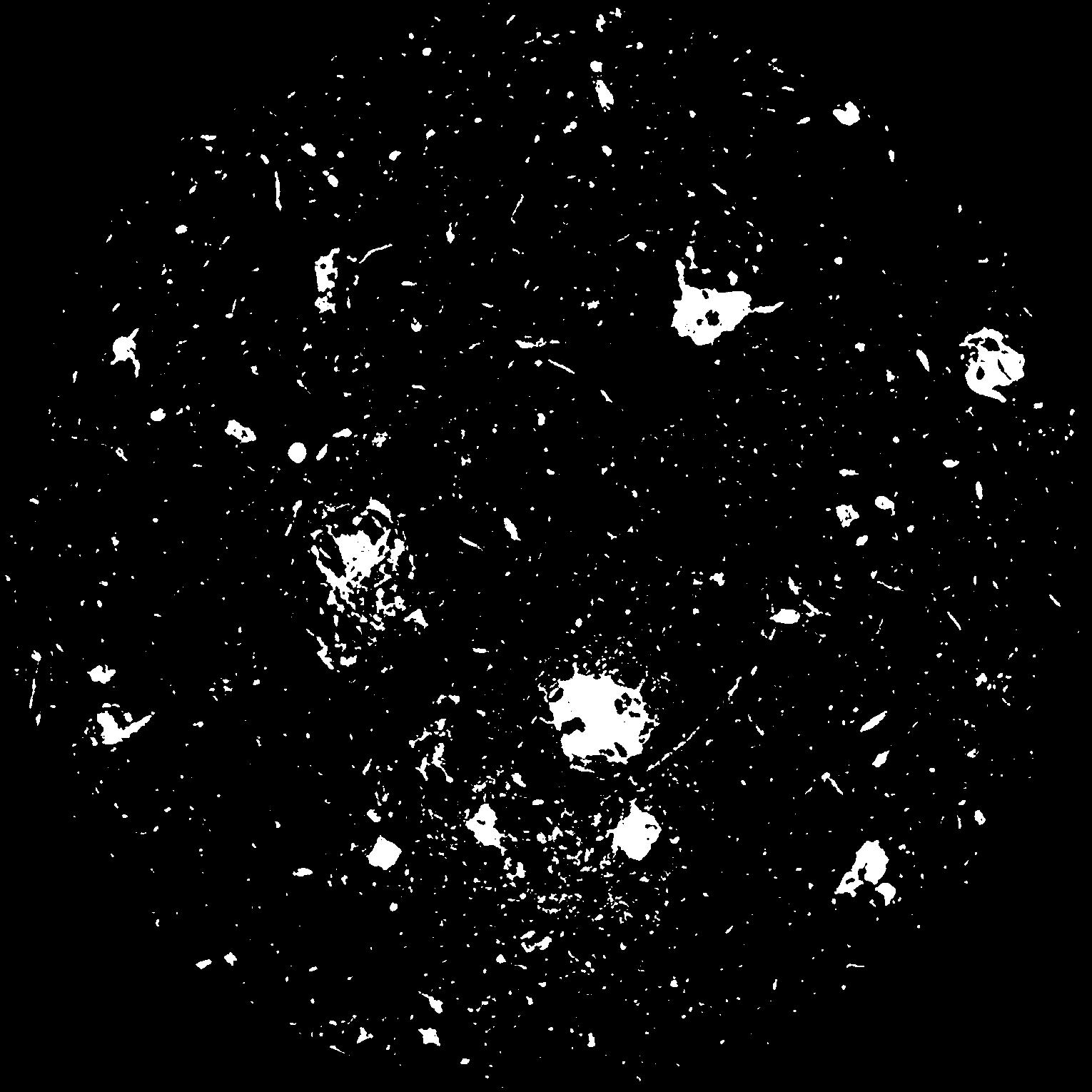
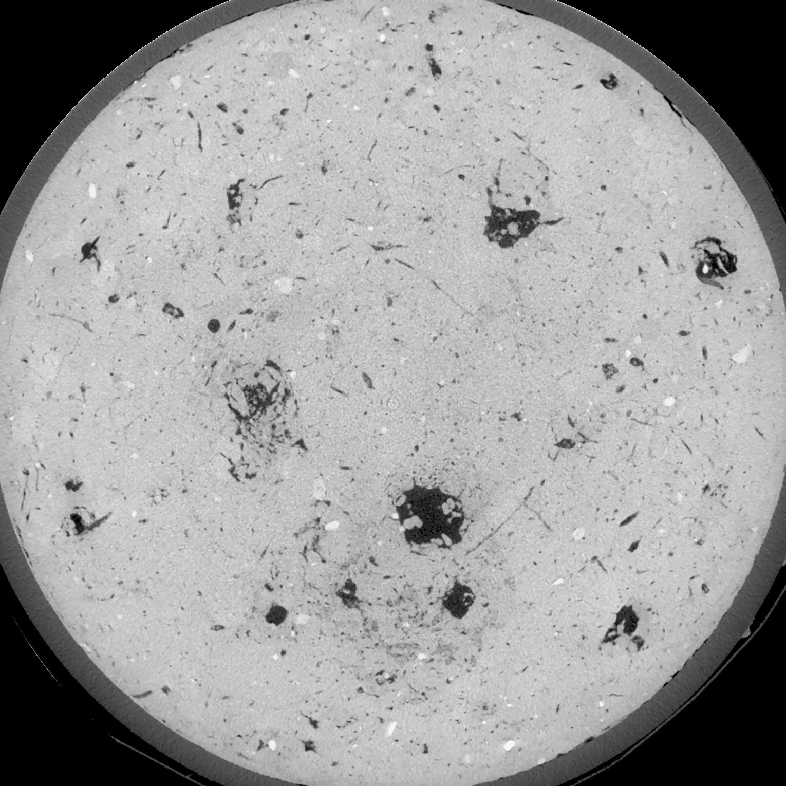
General Information
Internal Identifier UFZ_NT_06
| Soil Type | Luvisol |
|---|
| Classification | WRB |
|---|
|
| Location | Luettewitz |
|---|
| Latitude | 51.1183 |
|---|
| Longitude | 13.2286 |
|---|
|
| Landuse | agricultural crop rotation |
|---|
| Tillage | no tillage |
|---|
| Crop | winter wheat, sugar beet, winter wheat |
|---|
|
| Sampling Depth | 10.0 |
|---|
| Sample Height | 10.0 |
|---|
| Sampling Date | March 27, 2018 |
|---|
| Voxel size | 0.06 |
|---|
| Pores white? | True |
|---|
|
| XY Plane |

|
|---|
|
| XY Plane Grey |

|
|---|
|
| Texture | silt loam |
|---|
| Sand | 3.0 |
|---|
| Silt | 77.0 |
|---|
| Clay | 20.0 |
|---|
|
| Bulk density | 1.58 |
|---|
| org. Carbon | 12.8 |
|---|
| six month after last tillage, field trial running for 26 years |
|---|
| Binary File Download |
|---|
|
Results
| Porosity | Surface | Mean Curvature | Euler | MeanPoreSize | Gamma | PoreDist |
| 0.05225 | 0.496666667 | 0.325555556 | 0.778703704 | 0.0 | 0.6255 | 0.423477098 |
| Opening size | Volume | Surface | MeanCurvature | Euler number |
|---|
| 0.12 | 0.05225 | 0.496666667 | 0.325555556 | 0.778703704 |
| 0.15 | 0.04946 | 0.419 | 0.22475 | 0.311527778 |
| 0.18 | 0.04669 | 0.358 | 0.1605 | 0.1475 |
| 0.21 | 0.04411 | 0.3115 | 0.123972222 | 0.103703704 |
| 0.24 | 0.04307 | 0.296 | 0.119277778 | 0.139212963 |
| 0.27 | 0.03695 | 0.209333333 | 0.063277778 | 0.044161111 |
| 0.3 | 0.03459 | 0.182 | 0.050555556 | 0.034966667 |
| 0.36 | 0.03159 | 0.14955 | 0.03775 | 0.026336574 |
| 0.42 | 0.0269 | 0.107683333 | 0.022597222 | 0.0132125 |
| 0.48 | 0.02424 | 0.087533333 | 0.016738889 | 0.009265278 |
| 0.54 | 0.02077 | 0.064233333 | 0.010372222 | 0.006006019 |
| 0.6000000000000001 | 0.01924 | 0.054866667 | 0.008086111 | 0.004100231 |
| 0.6599999999999999 | 0.01696 | 0.04265 | 0.005333333 | 0.002747222 |
| 0.72 | 0.01595 | 0.037583333 | 0.004344444 | 0.001658935 |
| 0.78 | 0.01467 | 0.032116667 | 0.003441667 | 0.001423611 |
| 0.8400000000000001 | 0.0141 | 0.0297 | 0.003063889 | 0.000964769 |
| 0.8999999999999999 | 0.01307 | 0.025866667 | 0.002480944 | 0.000811806 |
| 1.2 | 0.0102 | 0.016766667 | 0.001362083 | 0.000388255 |
| 1.5 | 0.008166 | 0.01166 | 0.000854528 | 0.000258838 |
| 1.8 | 0.00668 | 0.008355 | 0.000536139 | 0.000117653 |
| 2.1 | 0.00547 | 0.00605 | 0.000349083 | 0.000117653 |
| 2.7 | 0.003824 | 0.003366667 | 0.000149656 | 0.000029413 |
| 3.3000000000000003 | 0.003105 | 0.00245 | 0.000093181 | 0.000023531 |
| 3.9 | 0.002639 | 0.001991667 | 0.000072711 | 0.000011765 |
| 4.5 | 0.002089 | 0.0014935 | 0.00004765 | 0.000002677 |
| 5.1 | 0.001542 | 0.001069833 | 0.000034589 | 0.000011765 |
| 5.699999999999999 | 0.001184 | 0.000841833 | 0.000029294 | 0.000002677 |
| 6.3 | 0.000619 | 0.0004345 | 0.000014118 | 0.000000892 |
Reference: An open Soil Structure Library based on X-ray CT data


