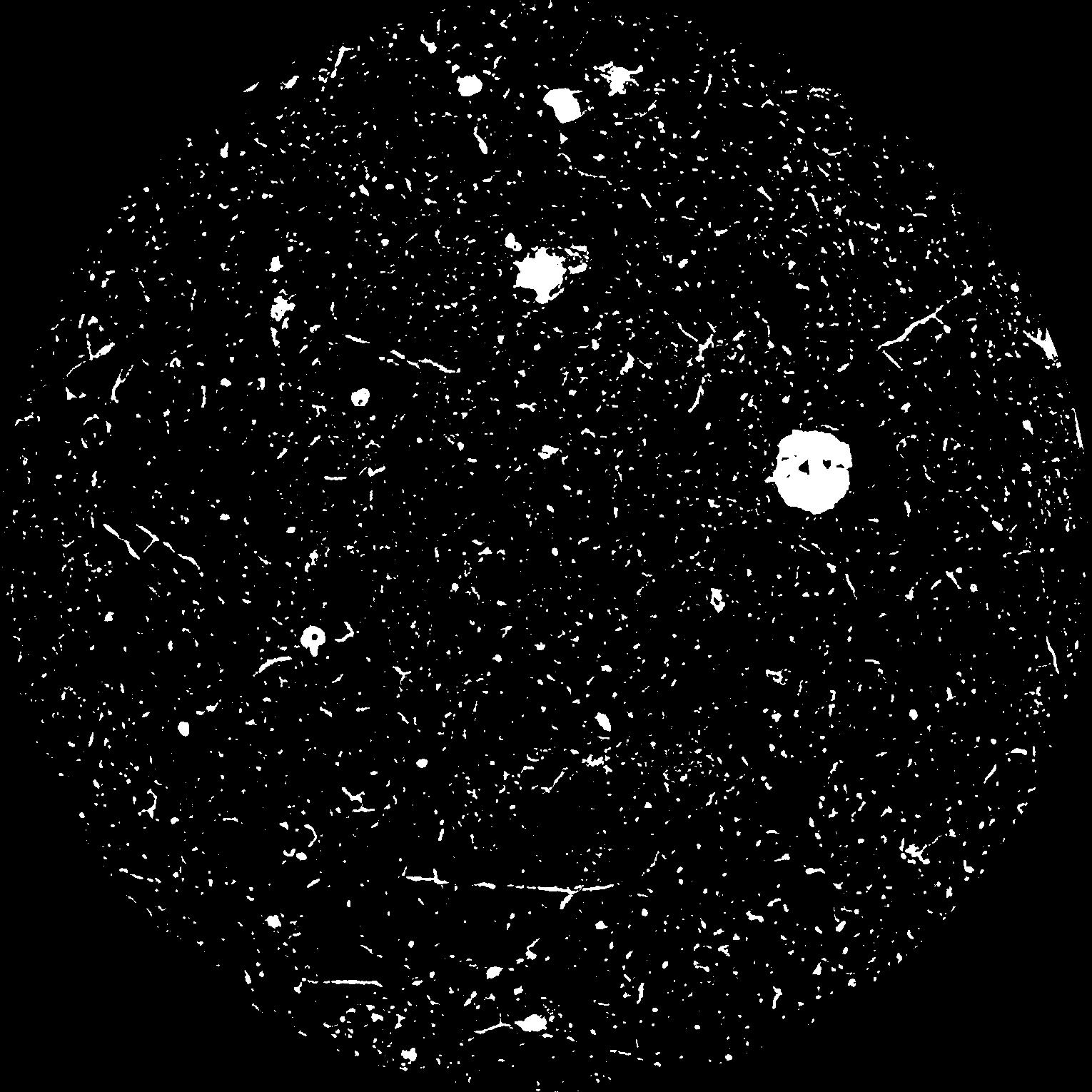
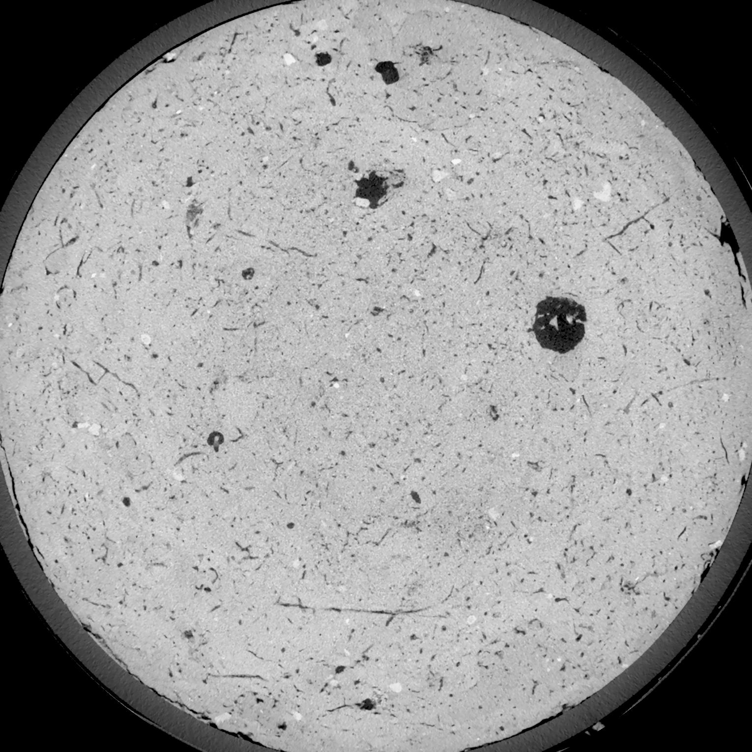
General Information
Internal Identifier UFZ_NT_07
| Soil Type | Luvisol |
|---|
| Classification | WRB |
|---|
|
| Location | Luettewitz |
|---|
| Latitude | 51.1183 |
|---|
| Longitude | 13.2286 |
|---|
|
| Landuse | agricultural crop rotation |
|---|
| Tillage | no tillage |
|---|
| Crop | winter wheat, sugar beet, winter wheat |
|---|
|
| Sampling Depth | 10.0 |
|---|
| Sample Height | 10.0 |
|---|
| Sampling Date | March 27, 2018 |
|---|
| Voxel size | 0.06 |
|---|
| Pores white? | True |
|---|
|
| XY Plane |

|
|---|
|
| XY Plane Grey |

|
|---|
|
| Texture | silt loam |
|---|
| Sand | 3.0 |
|---|
| Silt | 77.0 |
|---|
| Clay | 20.0 |
|---|
|
| Bulk density | 1.52 |
|---|
| org. Carbon | 12.8 |
|---|
| six month after last tillage, field trial running for 26 years |
|---|
| Binary File Download |
|---|
|
Results
| Porosity | Surface | Mean Curvature | Euler | MeanPoreSize | Gamma | PoreDist |
| 0.0624 | 0.723166667 | 0.508888889 | 1.058333333 | 0.0 | 0.5772 | 0.323116872 |
| Opening size | Volume | Surface | MeanCurvature | Euler number |
|---|
| 0.12 | 0.0624 | 0.723166667 | 0.508888889 | 1.058333333 |
| 0.15 | 0.05831 | 0.614333333 | 0.371666667 | 0.478240741 |
| 0.18 | 0.05417 | 0.522833333 | 0.275916667 | 0.2675 |
| 0.21 | 0.04996 | 0.446 | 0.214916667 | 0.207083333 |
| 0.24 | 0.0482 | 0.419666667 | 0.206111111 | 0.269907407 |
| 0.27 | 0.03793 | 0.268166667 | 0.102305556 | 0.09962963 |
| 0.3 | 0.03412 | 0.221166667 | 0.077805556 | 0.077962963 |
| 0.36 | 0.02948 | 0.168 | 0.052944444 | 0.052083333 |
| 0.42 | 0.02342 | 0.108433333 | 0.026555556 | 0.020271759 |
| 0.48 | 0.02055 | 0.084983333 | 0.018363889 | 0.012377315 |
| 0.54 | 0.01723 | 0.061366667 | 0.010938889 | 0.006888889 |
| 0.6000000000000001 | 0.01587 | 0.0528 | 0.008680556 | 0.004600278 |
| 0.6599999999999999 | 0.01378 | 0.041383333 | 0.005977778 | 0.003259028 |
| 0.72 | 0.0128 | 0.0362 | 0.004855556 | 0.002035417 |
| 0.78 | 0.01158 | 0.030733333 | 0.003813889 | 0.001564815 |
| 0.8400000000000001 | 0.01103 | 0.028283333 | 0.003394444 | 0.001100093 |
| 0.8999999999999999 | 0.01003 | 0.024516667 | 0.002830556 | 0.000988287 |
| 1.2 | 0.007129 | 0.014911667 | 0.001528694 | 0.000505926 |
| 1.5 | 0.005026 | 0.009176667 | 0.000845361 | 0.000264722 |
| 1.8 | 0.003545 | 0.005776667 | 0.000496611 | 0.000129421 |
| 2.1 | 0.002418 | 0.0034 | 0.000260133 | 0.000082356 |
| 2.7 | 0.001304 | 0.001407167 | 0.000085769 | 0.000023531 |
| 3.3000000000000003 | 0.0007971 | 0.000648667 | 0.000028942 | 0.000004399 |
| 3.9 | 0.0007031 | 0.0005295 | 0.000021178 | 0.000003519 |
| 4.5 | 0.0006512 | 0.000487333 | 0.000019766 | 0.000004399 |
| 5.1 | 0.0005139 | 0.000333 | 0.000010589 | 0.00000264 |
| 5.699999999999999 | 0.000498 | 0.000323 | 0.000010589 | 0.0 |
| 6.3 | 0.0004801 | 0.000314 | 0.000010236 | 0.00000088 |
| 6.8999999999999995 | 0.0004424 | 0.000300667 | 0.000010236 | 0.00000088 |
Reference: An open Soil Structure Library based on X-ray CT data


