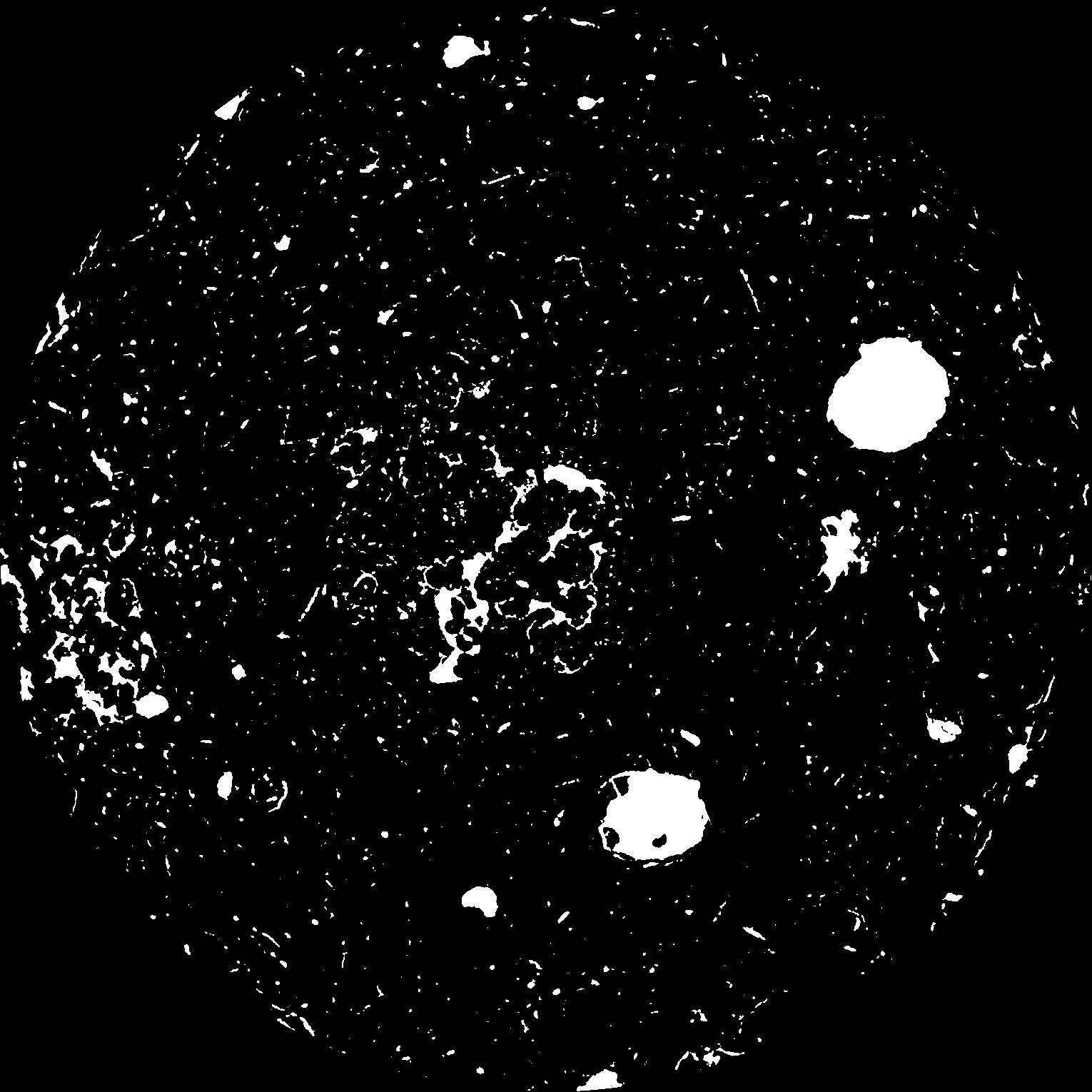
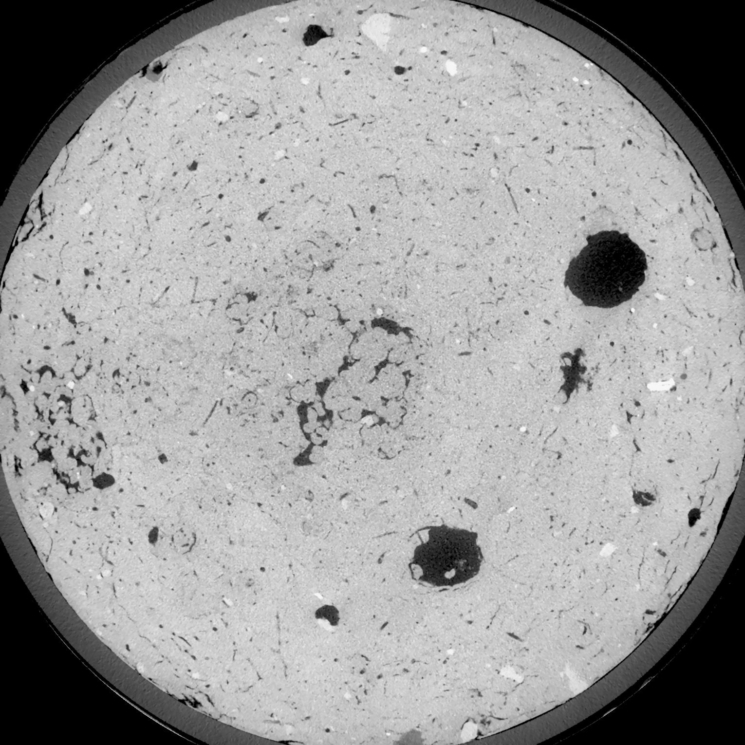
General Information
Internal Identifier UFZ_NT_10
| Soil Type | Luvisol |
|---|
| Classification | WRB |
|---|
|
| Location | Luettewitz |
|---|
| Latitude | 51.1183 |
|---|
| Longitude | 13.2286 |
|---|
|
| Landuse | agricultural crop rotation |
|---|
| Tillage | no tillage |
|---|
| Crop | winter wheat, sugar beet, winter wheat |
|---|
|
| Sampling Depth | 10.0 |
|---|
| Sample Height | 10.0 |
|---|
| Sampling Date | March 27, 2018 |
|---|
| Voxel size | 0.06 |
|---|
| Pores white? | True |
|---|
|
| XY Plane |

|
|---|
|
| XY Plane Grey |

|
|---|
|
| Texture | silt loam |
|---|
| Sand | 3.0 |
|---|
| Silt | 77.0 |
|---|
| Clay | 20.0 |
|---|
|
| Bulk density | 1.48 |
|---|
| org. Carbon | 12.8 |
|---|
| six month after last tillage, field trial running for 26 years |
|---|
| Binary File Download |
|---|
|
Results
| Porosity | Surface | Mean Curvature | Euler | MeanPoreSize | Gamma | PoreDist |
| 0.06676 | 0.539 | 0.323055556 | 0.675 | 0.0 | 0.6983 | 0.416219127 |
| Opening size | Volume | Surface | MeanCurvature | Euler number |
|---|
| 0.12 | 0.06676 | 0.539 | 0.323055556 | 0.675 |
| 0.15 | 0.06391 | 0.461166667 | 0.225444444 | 0.273009259 |
| 0.18 | 0.061 | 0.398833333 | 0.163861111 | 0.128842593 |
| 0.21 | 0.05834 | 0.351666667 | 0.128638889 | 0.092083333 |
| 0.24 | 0.05723 | 0.3355 | 0.124111111 | 0.128101852 |
| 0.27 | 0.05092 | 0.248833333 | 0.071111111 | 0.042753704 |
| 0.3 | 0.04839 | 0.220333333 | 0.058861111 | 0.036077315 |
| 0.36 | 0.04502 | 0.184666667 | 0.045611111 | 0.028900463 |
| 0.42 | 0.03962 | 0.1369 | 0.028833333 | 0.016341667 |
| 0.48 | 0.03654 | 0.1133 | 0.021872222 | 0.011676852 |
| 0.54 | 0.03252 | 0.086233333 | 0.014422222 | 0.008123611 |
| 0.6000000000000001 | 0.0307 | 0.075016667 | 0.011694444 | 0.005994444 |
| 0.6599999999999999 | 0.02785 | 0.05935 | 0.007994444 | 0.004323611 |
| 0.72 | 0.02655 | 0.0524 | 0.006472222 | 0.002853009 |
| 0.78 | 0.02495 | 0.045116667 | 0.005038889 | 0.002205926 |
| 0.8400000000000001 | 0.02423 | 0.041833333 | 0.004441667 | 0.001617685 |
| 0.8999999999999999 | 0.02294 | 0.036683333 | 0.003541667 | 0.001270602 |
| 1.2 | 0.01947 | 0.0249 | 0.001820167 | 0.000629444 |
| 1.5 | 0.01716 | 0.018983333 | 0.001183444 | 0.000400009 |
| 1.8 | 0.01527 | 0.014903333 | 0.000796972 | 0.000229417 |
| 2.1 | 0.01353 | 0.011601667 | 0.000519889 | 0.000135296 |
| 2.7 | 0.01129 | 0.008083333 | 0.000269653 | 0.000058824 |
| 3.3000000000000003 | 0.00992 | 0.00649 | 0.000186711 | 0.000035295 |
| 3.9 | 0.008902 | 0.005611667 | 0.00015565 | 0.000035295 |
| 4.5 | 0.007679 | 0.004716667 | 0.000134828 | 0.000011765 |
| 5.1 | 0.006361 | 0.00367 | 0.000094592 | 0.000011765 |
| 5.699999999999999 | 0.005803 | 0.003385 | 0.000091061 | 0.000005882 |
| 6.3 | 0.005115 | 0.003148333 | 0.000093178 | 0.000011765 |
| 6.8999999999999995 | 0.004291 | 0.002686667 | 0.000084708 | 0.000005882 |
| 7.5 | 0.002958 | 0.001826667 | 0.000058236 | 0.000005591 |
| 8.1 | 0.00192 | 0.001199 | 0.000038472 | 0.000003728 |
Reference: An open Soil Structure Library based on X-ray CT data


