General Information
Internal Identifier UFZ_NT_13
| Soil Type | Luvisol |
|---|
| Classification | WRB |
|---|
|
| Location | Luettewitz |
|---|
| Latitude | 51.1183 |
|---|
| Longitude | 13.2286 |
|---|
|
| Landuse | agricultural crop rotation |
|---|
| Tillage | no tillage |
|---|
| Crop | winter wheat, sugar beet, winter wheat |
|---|
|
| Sampling Depth | 10.0 |
|---|
| Sample Height | 10.0 |
|---|
| Sampling Date | March 27, 2018 |
|---|
| Voxel size | 0.06 |
|---|
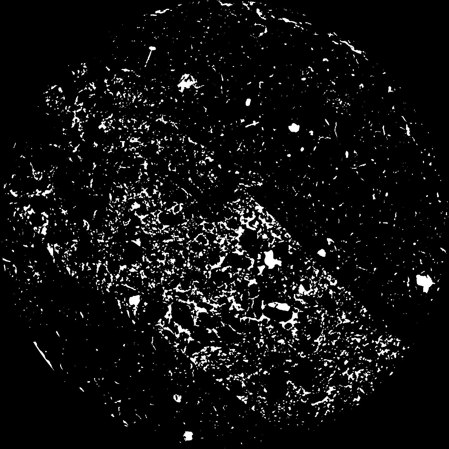
| Pores white? | True |
|---|
|
| XY Plane |

|
|---|
|
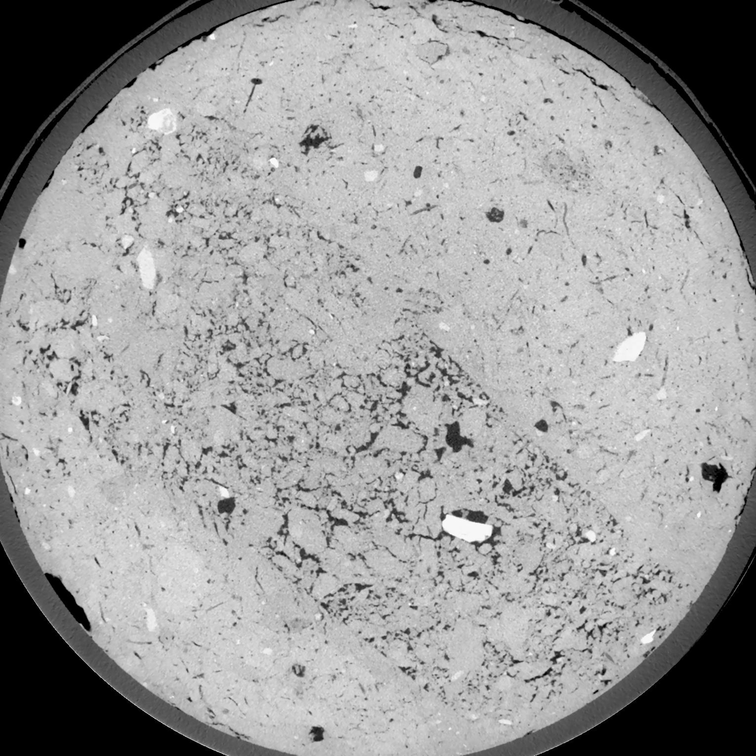
| XY Plane Grey |

|
|---|
|
| Texture | silt loam |
|---|
| Sand | 3.0 |
|---|
| Silt | 77.0 |
|---|
| Clay | 20.0 |
|---|
|
| Bulk density | 1.53 |
|---|
| org. Carbon | 12.8 |
|---|
| six month after last tillage, field trial running for 26 years |
|---|
| Binary File Download |
|---|
|
Results
| Porosity | Surface | Mean Curvature | Euler | MeanPoreSize | Gamma | PoreDist |
| 0.08815 | 0.821333333 | 0.418055556 | 0.592592593 | 0.0 | 0.735 | 0.358255009 |
| Opening size | Volume | Surface | MeanCurvature | Euler number |
|---|
| 0.12 | 0.08815 | 0.821333333 | 0.418055556 | 0.592592593 |
| 0.15 | 0.08459 | 0.724666667 | 0.308611111 | 0.208842593 |
| 0.18 | 0.08085 | 0.647833333 | 0.238833333 | 0.060138889 |
| 0.21 | 0.07716 | 0.585666667 | 0.198194444 | 0.045659722 |
| 0.24 | 0.07544 | 0.561166667 | 0.193416667 | 0.112175926 |
| 0.27 | 0.06513 | 0.428166667 | 0.124611111 | 0.041706944 |
| 0.3 | 0.06045 | 0.377666667 | 0.105944444 | 0.04619537 |
| 0.36 | 0.05403 | 0.311333333 | 0.084277778 | 0.048935185 |
| 0.42 | 0.04347 | 0.2185 | 0.053 | 0.031977315 |
| 0.48 | 0.03758 | 0.173 | 0.039555556 | 0.024065278 |
| 0.54 | 0.03013 | 0.1217 | 0.024772222 | 0.015959259 |
| 0.6000000000000001 | 0.02693 | 0.10135 | 0.019402778 | 0.011318056 |
| 0.6599999999999999 | 0.02206 | 0.07385 | 0.012569444 | 0.00752963 |
| 0.72 | 0.01983 | 0.061716667 | 0.009777778 | 0.004953241 |
| 0.78 | 0.01719 | 0.049116667 | 0.007088889 | 0.003411852 |
| 0.8400000000000001 | 0.01612 | 0.044033333 | 0.006102778 | 0.002576528 |
| 0.8999999999999999 | 0.01418 | 0.035983333 | 0.004569444 | 0.001794167 |
| 1.2 | 0.009531 | 0.0196 | 0.002037583 | 0.000723565 |
| 1.5 | 0.00673 | 0.01176 | 0.001064139 | 0.000411773 |
| 1.8 | 0.004872 | 0.007291667 | 0.00055625 | 0.000152944 |
| 2.1 | 0.003721 | 0.004981667 | 0.000337778 | 0.000088236 |
| 2.7 | 0.002272 | 0.002515 | 0.000140119 | 0.000029413 |
| 3.3000000000000003 | 0.001482 | 0.001429 | 0.000068119 | 0.000005882 |
| 3.9 | 0.001111 | 0.000975667 | 0.000041294 | 0.00000466 |
| 4.5 | 0.0009297 | 0.000798 | 0.000031767 | 0.000002796 |
| 5.1 | 0.0002968 | 0.000282 | 0.000013412 | 0.000001864 |
Reference: An open Soil Structure Library based on X-ray CT data


