General Information
Internal Identifier ML_H006
| Soil Type | Regosol |
|---|
| Classification | WRB |
|---|
|
| Location | Garzweiler open-cast mine |
|---|
| Latitude | 51.063893 |
|---|
| Longitude | 6.502039 |
|---|
|
| Landuse | agricultural crop rotation |
|---|
| Tillage | reduced tillage |
|---|
| Crop | lucerne |
|---|
|
| Sampling Depth | 15.0 |
|---|
| Sample Height | 3.0 |
|---|
| Sampling Date | May 15, 2017 |
|---|
| Voxel size | 0.02 |
|---|
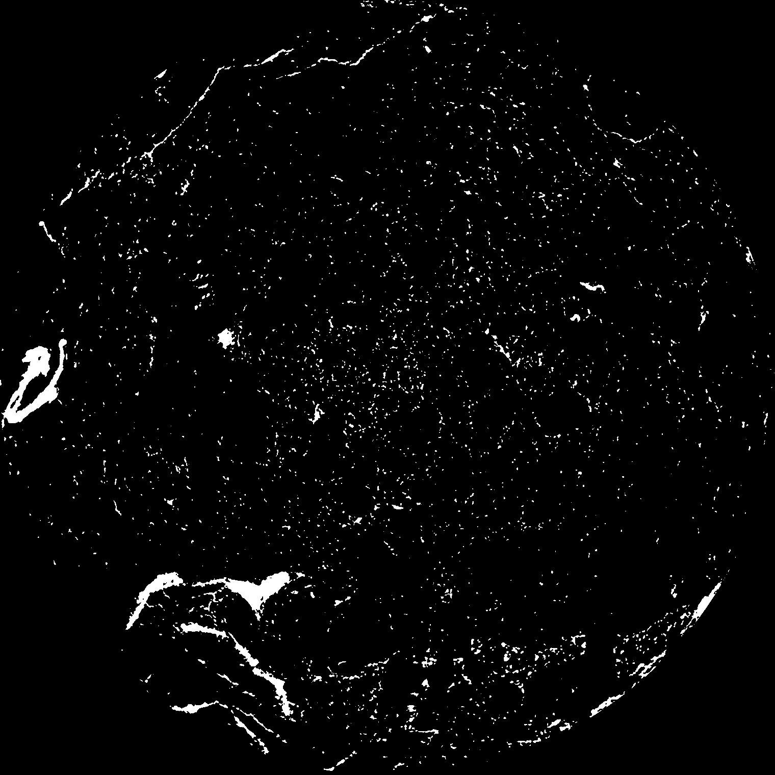
| Pores white? | True |
|---|
|
| XY Plane |

|
|---|
|
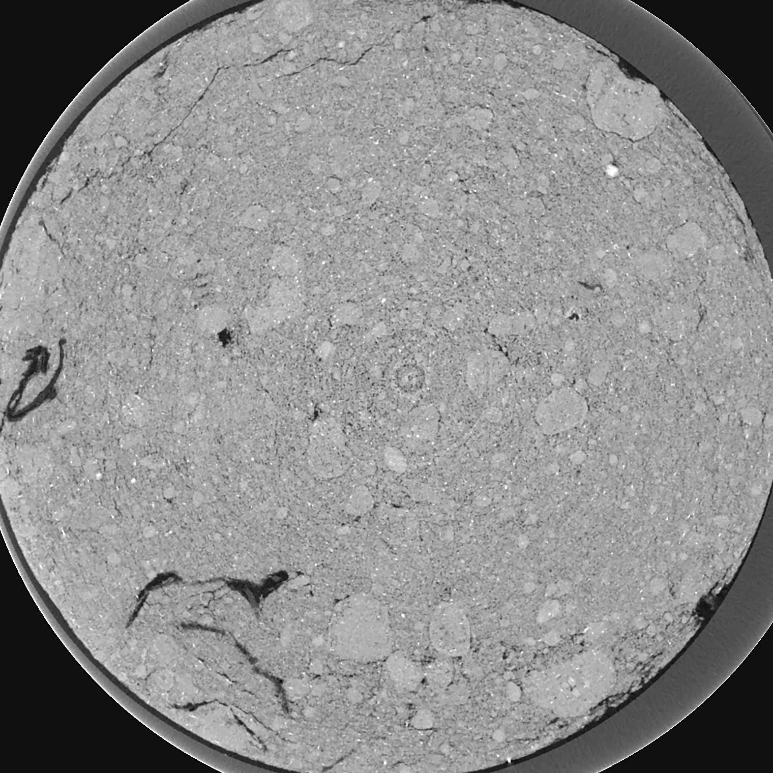
| XY Plane Grey |

|
|---|
|
| Texture | silty clay loam |
|---|
| Sand | 3.5 |
|---|
| Silt | 65.1 |
|---|
| Clay | 31.4 |
|---|
|
|
Results
| Porosity | Surface | Mean Curvature | Euler | MeanPoreSize | Gamma | PoreDist |
| 0.03239 | 1.2895 | 3.5225 | 27.3375 | 0.0 | 0.03617 | 0.152077398 |
| Opening size | Volume | Surface | MeanCurvature | Euler number |
|---|
| 0.04 | 0.03239 | 1.2895 | 3.5225 | 27.3375 |
| 0.05 | 0.02829 | 0.953 | 2.289 | 19.0125 |
| 0.06 | 0.02423 | 0.6645 | 1.22225 | 7.18125 |
| 0.07 | 0.02153 | 0.506 | 0.778 | 4.0275 |
| 0.08 | 0.02061 | 0.46415 | 0.7295 | 4.5575 |
| 0.09000000000000001 | 0.01622 | 0.25525 | 0.2303 | 0.8314 |
| 0.1 | 0.01509 | 0.21395 | 0.16435 | 0.5450625 |
| 0.12000000000000001 | 0.01391 | 0.17415 | 0.110875 | 0.3290875 |
| 0.13999999999999999 | 0.01214 | 0.1262 | 0.05465 | 0.10459875 |
| 0.16 | 0.01131 | 0.1081 | 0.04005 | 0.06063875 |
| 0.18 | 0.0102 | 0.08815 | 0.026475 | 0.0288425 |
| 0.19999999999999998 | 0.00973 | 0.0808 | 0.02284125 | 0.01581125 |
| 0.22 | 0.008792 | 0.069 | 0.018699 | 0.01442125 |
| 0.24 | 0.008232 | 0.06255 | 0.01701025 | 0.00469125 |
| 0.26 | 0.007312 | 0.05305 | 0.015019 | 0.00816625 |
| 0.28 | 0.00692 | 0.04863 | 0.013775 | 0.00469125 |
| 0.30000000000000004 | 0.006155 | 0.041085 | 0.011617 | 0.0066025 |
| 0.4 | 0.004059 | 0.022165 | 0.0059075 | 0.0038225 |
| 0.5 | 0.002773 | 0.012235 | 0.00290175 | 0.00260625 |
| 0.6 | 0.002095 | 0.00753 | 0.00139695 | 0.00086875 |
| 0.7000000000000001 | 0.001726 | 0.00547 | 0.00089655 | 0.000695 |
| 0.9 | 0.0014 | 0.0037655 | 0.0004448 | 0.0003475 |
| 1.1 | 0.00126 | 0.003333 | 0.000399625 | 0.0003475 |
| 1.3 | 0.001047 | 0.002625 | 0.0002919 | 0.000057964 |
| 1.5 | 0.0008563 | 0.002312 | 0.00031275 | 0.00017375 |
| 1.7 | 0.0004037 | 0.0010725 | 0.00014595 | 0.000057964 |
Reference: An open Soil Structure Library based on X-ray CT data


