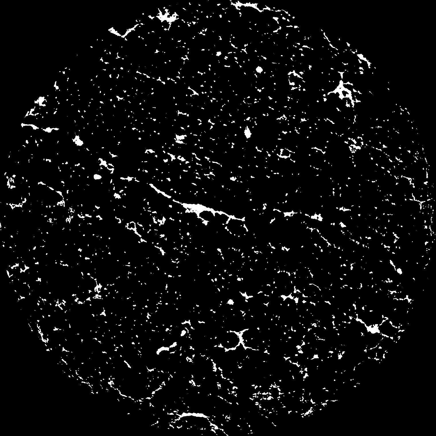
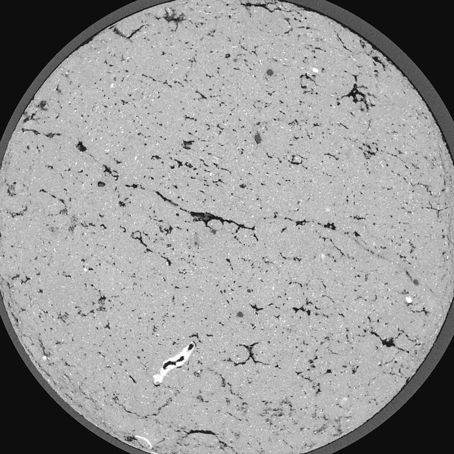
General Information
Internal Identifier ML_H095
| Soil Type | Regosol |
|---|
| Classification | WRB |
|---|
|
| Location | Garzweiler open-cast mine |
|---|
| Latitude | 51.063893 |
|---|
| Longitude | 6.502039 |
|---|
|
| Landuse | agricultural crop rotation |
|---|
| Tillage | no tillage |
|---|
| Crop | lucerne |
|---|
|
| Sampling Depth | 15.0 |
|---|
| Sample Height | 3.0 |
|---|
| Sampling Date | Nov. 15, 2016 |
|---|
| Voxel size | 0.02 |
|---|
| Pores white? | True |
|---|
|
| XY Plane |

|
|---|
|
| XY Plane Grey |

|
|---|
|
| Texture | silty clay loam |
|---|
| Sand | 3.5 |
|---|
| Silt | 65.1 |
|---|
| Clay | 31.4 |
|---|
|
|
Results
| Porosity | Surface | Mean Curvature | Euler | MeanPoreSize | Gamma | PoreDist |
| 0.04663 | 1.7305 | 3.25 | 16.775 | 0.0 | 0.06175 | 0.130585116 |
| Opening size | Volume | Surface | MeanCurvature | Euler number |
|---|
| 0.04 | 0.04663 | 1.7305 | 3.25 | 16.775 |
| 0.05 | 0.04415 | 1.551 | 2.745 | 13.8875 |
| 0.06 | 0.04149 | 1.387 | 2.2685 | 9.25125 |
| 0.07 | 0.038 | 1.206 | 1.8665 | 7.43 |
| 0.08 | 0.03637 | 1.137 | 1.8195 | 8.72875 |
| 0.09000000000000001 | 0.02553 | 0.669 | 0.884 | 3.52 |
| 0.1 | 0.02151 | 0.5195 | 0.6425 | 2.57875 |
| 0.12000000000000001 | 0.01702 | 0.36255 | 0.4115 | 1.51875 |
| 0.13999999999999999 | 0.01167 | 0.19715 | 0.17085 | 0.4877 |
| 0.16 | 0.00964 | 0.14475 | 0.108525 | 0.259125 |
| 0.18 | 0.007573 | 0.0986 | 0.060175 | 0.11380875 |
| 0.19999999999999998 | 0.0068 | 0.0836 | 0.047375 | 0.07667625 |
| 0.22 | 0.005693 | 0.0646 | 0.03245 | 0.04661625 |
| 0.24 | 0.005197 | 0.0566 | 0.02705 | 0.03134625 |
| 0.26 | 0.00453 | 0.04749 | 0.02154325 | 0.02443375 |
| 0.28 | 0.004203 | 0.04299 | 0.019177 | 0.01703875 |
| 0.30000000000000004 | 0.003522 | 0.034665 | 0.01493975 | 0.01527125 |
| 0.4 | 0.001481 | 0.012535 | 0.004845 | 0.005143875 |
| 0.5 | 0.000566 | 0.004453 | 0.001662125 | 0.001929 |
| 0.6 | 0.0001182 | 0.0009935 | 0.0004308 | 0.000642987 |
| 0.7000000000000001 | 0.00000566 | 0.000046295 | 0.000019289 | 0.000026812 |
Reference: An open Soil Structure Library based on X-ray CT data


