General Information
Internal Identifier ML_H119
| Soil Type | Regosol |
|---|
| Classification | WRB |
|---|
|
| Location | Garzweiler open-cast mine |
|---|
| Latitude | 51.063893 |
|---|
| Longitude | 6.502039 |
|---|
|
| Landuse | agricultural crop rotation |
|---|
| Tillage | no tillage |
|---|
| Crop | lucerne |
|---|
|
| Sampling Depth | 15.0 |
|---|
| Sample Height | 3.0 |
|---|
| Sampling Date | Nov. 15, 2016 |
|---|
| Voxel size | 0.02 |
|---|
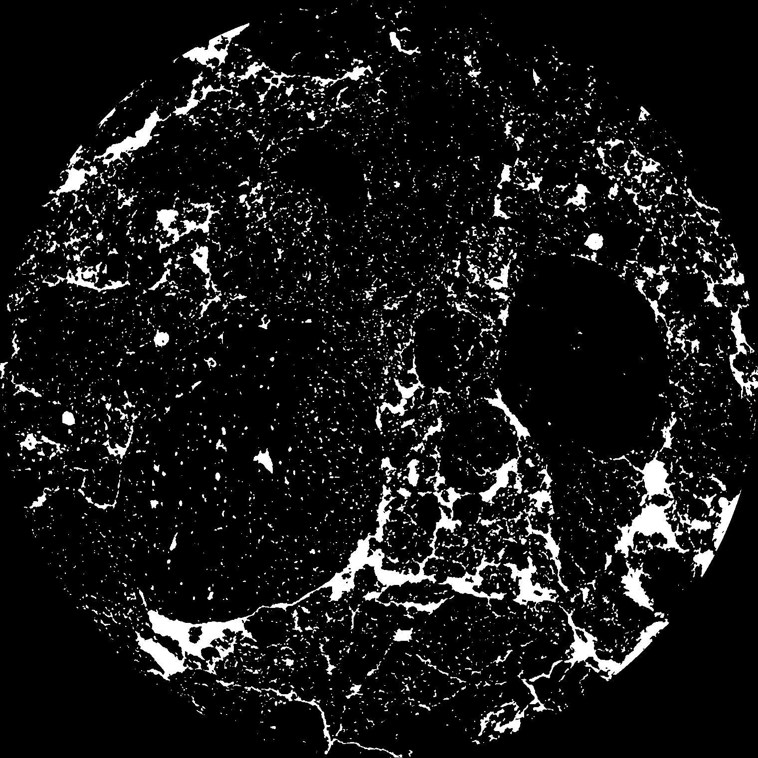
| Pores white? | True |
|---|
|
| XY Plane |

|
|---|
|
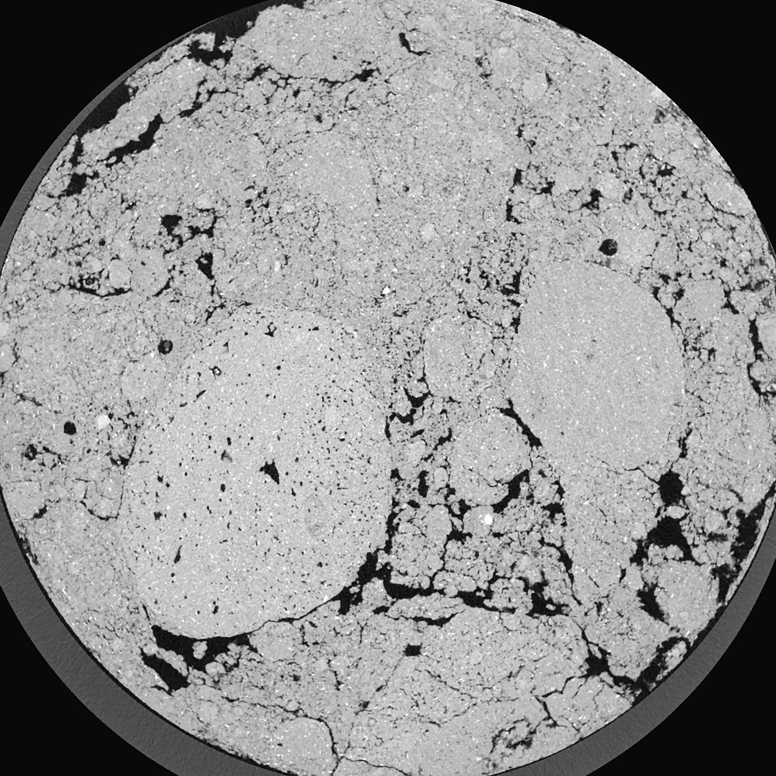
| XY Plane Grey |

|
|---|
|
| Texture | silty clay loam |
|---|
| Sand | 3.5 |
|---|
| Silt | 65.1 |
|---|
| Clay | 31.4 |
|---|
|
|
Results
| Porosity | Surface | Mean Curvature | Euler | MeanPoreSize | Gamma | PoreDist |
| 0.1112 | 3.898 | 7.7525 | 33.2625 | 0.0 | 0.6526 | 0.085670428 |
| Opening size | Volume | Surface | MeanCurvature | Euler number |
|---|
| 0.04 | 0.1112 | 3.898 | 7.7525 | 33.2625 |
| 0.05 | 0.1027 | 3.2075 | 5.4825 | 22.1125 |
| 0.06 | 0.09355 | 2.614 | 3.69 | 9.04875 |
| 0.07 | 0.08601 | 2.212 | 2.8025 | 6.87 |
| 0.08 | 0.0827 | 2.0675 | 2.695 | 9.905 |
| 0.09000000000000001 | 0.06609 | 1.36 | 1.346 | 3.25625 |
| 0.1 | 0.06012 | 1.1525 | 1.064 | 2.59125 |
| 0.12000000000000001 | 0.05297 | 0.9195 | 0.78575 | 1.95625 |
| 0.13999999999999999 | 0.04224 | 0.621 | 0.4365 | 0.912475 |
| 0.16 | 0.03693 | 0.49545 | 0.316 | 0.5920625 |
| 0.18 | 0.03052 | 0.3632 | 0.199975 | 0.3517125 |
| 0.19999999999999998 | 0.02777 | 0.3125 | 0.1621 | 0.2520875 |
| 0.22 | 0.02334 | 0.2403 | 0.11175 | 0.170075 |
| 0.24 | 0.02126 | 0.20795 | 0.09185 | 0.115935 |
| 0.26 | 0.01861 | 0.1726 | 0.07245 | 0.09359625 |
| 0.28 | 0.01738 | 0.15585 | 0.06355 | 0.0699525 |
| 0.30000000000000004 | 0.0151 | 0.1284 | 0.04925 | 0.0552775 |
| 0.4 | 0.009319 | 0.0692 | 0.02327825 | 0.02168625 |
| 0.5 | 0.005431 | 0.03754 | 0.01212825 | 0.012066375 |
| 0.6 | 0.002428 | 0.01586 | 0.0052145 | 0.005707 |
| 0.7000000000000001 | 0.0008913 | 0.00515 | 0.0015197 | 0.0014675 |
| 0.9 | 0.0001342 | 0.0007105 | 0.00019567 | 0.000326112 |
Reference: An open Soil Structure Library based on X-ray CT data


