General Information
Internal Identifier ML_G147
| Soil Type | Regosol |
|---|
| Classification | WRB |
|---|
|
| Location | Garzweiler open-cast mine |
|---|
| Latitude | 51.063893 |
|---|
| Longitude | 6.502039 |
|---|
|
| Landuse | agricultural crop rotation |
|---|
| Tillage | no tillage |
|---|
| Crop | lucerne |
|---|
|
| Sampling Depth | 9.0 |
|---|
| Sample Height | 3.0 |
|---|
| Sampling Date | Nov. 15, 2016 |
|---|
| Voxel size | 0.02 |
|---|
| Pores white? | True |
|---|
|
| XY Plane |
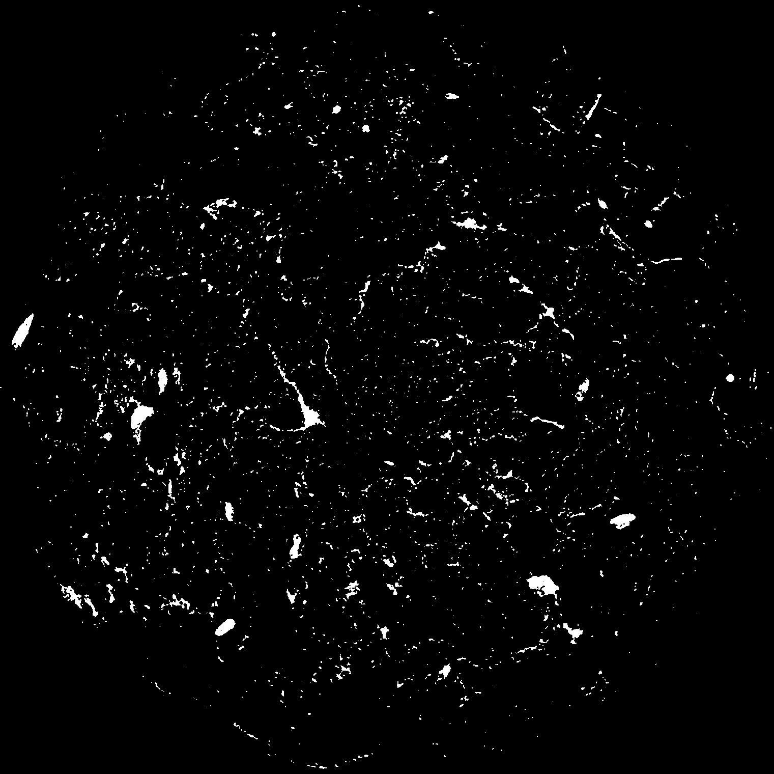
|
|---|
|
| XY Plane Grey |
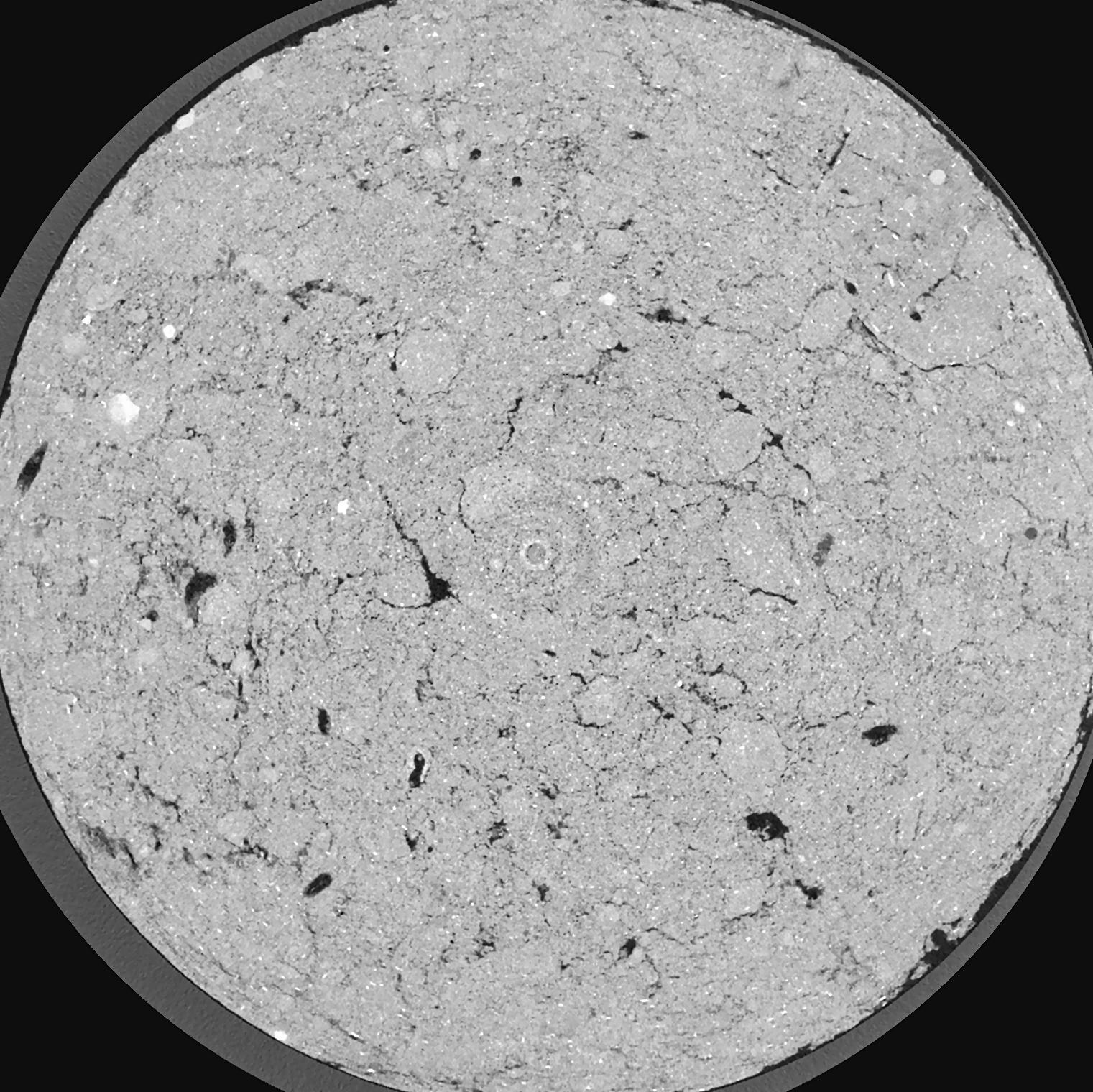
|
|---|
|
| Texture | silty clay loam |
|---|
| Sand | 3.5 |
|---|
| Silt | 65.1 |
|---|
| Clay | 31.4 |
|---|
|
|
Results
| Porosity | Surface | Mean Curvature | Euler | MeanPoreSize | Gamma | PoreDist |
| 0.02988 | 1.321 | 3.4525 | 26.575 | 0.0 | 0.1666 | 0.151442965 |
| Opening size | Volume | Surface | MeanCurvature | Euler number |
|---|
| 0.04 | 0.02988 | 1.321 | 3.4525 | 26.575 |
| 0.05 | 0.02566 | 0.966 | 2.06925 | 13.6625 |
| 0.06 | 0.02181 | 0.7085 | 1.232 | 5.71 |
| 0.07 | 0.01913 | 0.5595 | 0.864 | 3.8225 |
| 0.08 | 0.01812 | 0.5145 | 0.81675 | 4.445 |
| 0.09000000000000001 | 0.01336 | 0.2957 | 0.3255 | 1.1127125 |
| 0.1 | 0.01197 | 0.244 | 0.2415 | 0.7624625 |
| 0.12000000000000001 | 0.01045 | 0.1925 | 0.170075 | 0.4798875 |
| 0.13999999999999999 | 0.008332 | 0.13245 | 0.09335 | 0.166325 |
| 0.16 | 0.007307 | 0.10885 | 0.0713 | 0.10240125 |
| 0.18 | 0.005966 | 0.0826 | 0.050325 | 0.07125625 |
| 0.19999999999999998 | 0.005312 | 0.07085 | 0.0427 | 0.0547875 |
| 0.22 | 0.004176 | 0.05215 | 0.029925 | 0.05169 |
| 0.24 | 0.00362 | 0.04305 | 0.0241915 | 0.03473125 |
| 0.26 | 0.002891 | 0.032165 | 0.016906 | 0.0278825 |
| 0.28 | 0.002557 | 0.02722 | 0.01394475 | 0.01842625 |
| 0.30000000000000004 | 0.001981 | 0.01938 | 0.0090205 | 0.011577125 |
| 0.4 | 0.0008769 | 0.00647 | 0.0022339 | 0.002282875 |
| 0.5 | 0.0004756 | 0.003075 | 0.000922925 | 0.0008153 |
| 0.6 | 0.0002925 | 0.001815 | 0.0005283 | 0.000489175 |
| 0.7000000000000001 | 0.00009519 | 0.0005785 | 0.000176103 | 0.000326112 |
Reference: An open Soil Structure Library based on X-ray CT data
 Soil Structure Library