General Information
Internal Identifier ML_G166
| Soil Type | Regosol |
|---|
| Classification | WRB |
|---|
|
| Location | Garzweiler open-cast mine |
|---|
| Latitude | 51.063893 |
|---|
| Longitude | 6.502039 |
|---|
|
| Landuse | agricultural crop rotation |
|---|
| Tillage | no tillage |
|---|
| Crop | lucerne |
|---|
|
| Sampling Depth | 49.0 |
|---|
| Sample Height | 3.0 |
|---|
| Sampling Date | Nov. 15, 2016 |
|---|
| Voxel size | 0.02 |
|---|
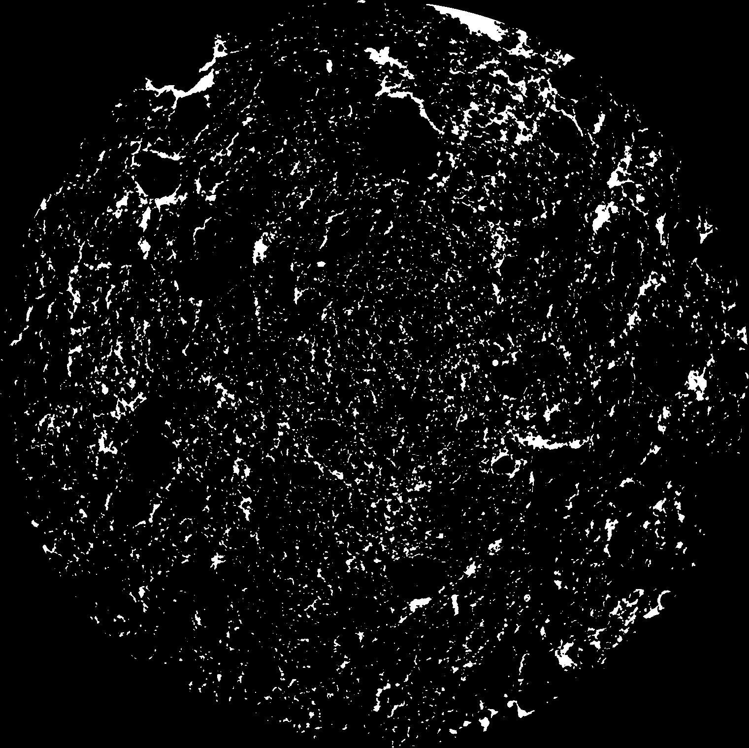
| Pores white? | True |
|---|
|
| XY Plane |

|
|---|
|
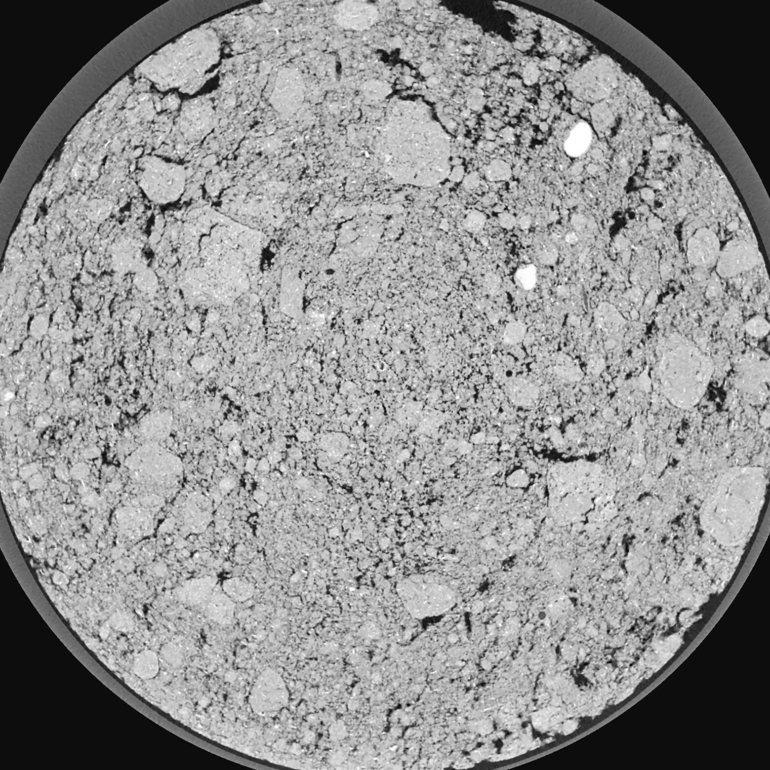
| XY Plane Grey |

|
|---|
|
| Texture | silty clay loam |
|---|
| Sand | 3.5 |
|---|
| Silt | 65.1 |
|---|
| Clay | 31.4 |
|---|
|
|
Results
| Porosity | Surface | Mean Curvature | Euler | MeanPoreSize | Gamma | PoreDist |
| 0.07079 | 2.8205 | 6.03 | 36.5625 | 0.0 | 0.3484 | 0.106053645 |
| Opening size | Volume | Surface | MeanCurvature | Euler number |
|---|
| 0.04 | 0.07079 | 2.8205 | 6.03 | 36.5625 |
| 0.05 | 0.06329 | 2.1875 | 3.735 | 14.8625 |
| 0.06 | 0.05684 | 1.7775 | 2.565 | 6.59375 |
| 0.07 | 0.05195 | 1.5215 | 2.02825 | 5.43125 |
| 0.08 | 0.04957 | 1.4175 | 1.94075 | 7.2075 |
| 0.09000000000000001 | 0.03765 | 0.9165 | 1.01525 | 2.7925 |
| 0.1 | 0.0333 | 0.765 | 0.807 | 2.275 |
| 0.12000000000000001 | 0.02806 | 0.5915 | 0.593 | 1.72125 |
| 0.13999999999999999 | 0.02004 | 0.3615 | 0.3085 | 0.7782125 |
| 0.16 | 0.0163 | 0.2701 | 0.21375 | 0.5024375 |
| 0.18 | 0.01189 | 0.1741 | 0.12035 | 0.2595125 |
| 0.19999999999999998 | 0.01017 | 0.1405 | 0.091975 | 0.1819125 |
| 0.22 | 0.007492 | 0.0936 | 0.054825 | 0.10496375 |
| 0.24 | 0.006374 | 0.0751 | 0.041775 | 0.0689025 |
| 0.26 | 0.00494 | 0.0545 | 0.028625 | 0.046525 |
| 0.28 | 0.004383 | 0.0463 | 0.02334625 | 0.03429 |
| 0.30000000000000004 | 0.003424 | 0.033855 | 0.01574775 | 0.02125 |
| 0.4 | 0.001457 | 0.01193 | 0.0046975 | 0.005151625 |
| 0.5 | 0.0006605 | 0.004921 | 0.001841675 | 0.002092875 |
| 0.6 | 0.000256 | 0.0015485 | 0.000470075 | 0.000482963 |
| 0.7000000000000001 | 0.0001564 | 0.000887 | 0.00025435 | 0.000321975 |
| 0.9 | 0.00002544 | 0.000158345 | 0.000051515 | 0.000053673 |
Reference: An open Soil Structure Library based on X-ray CT data


