General Information
Internal Identifier ML_H167
| Soil Type | Regosol |
|---|
| Classification | WRB |
|---|
|
| Location | Garzweiler open-cast mine |
|---|
| Latitude | 51.063893 |
|---|
| Longitude | 6.502039 |
|---|
|
| Landuse | agricultural crop rotation |
|---|
| Tillage | no tillage |
|---|
| Crop | lucerne |
|---|
|
| Sampling Depth | 55.0 |
|---|
| Sample Height | 3.0 |
|---|
| Sampling Date | Nov. 15, 2016 |
|---|
| Voxel size | 0.02 |
|---|
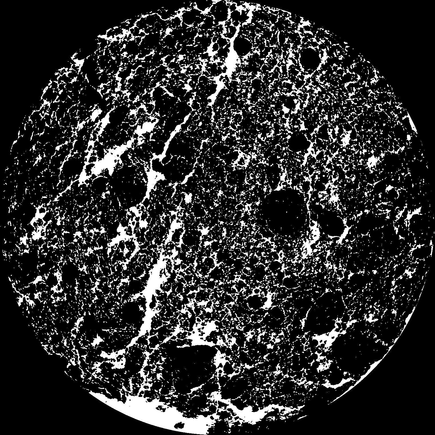
| Pores white? | True |
|---|
|
| XY Plane |

|
|---|
|
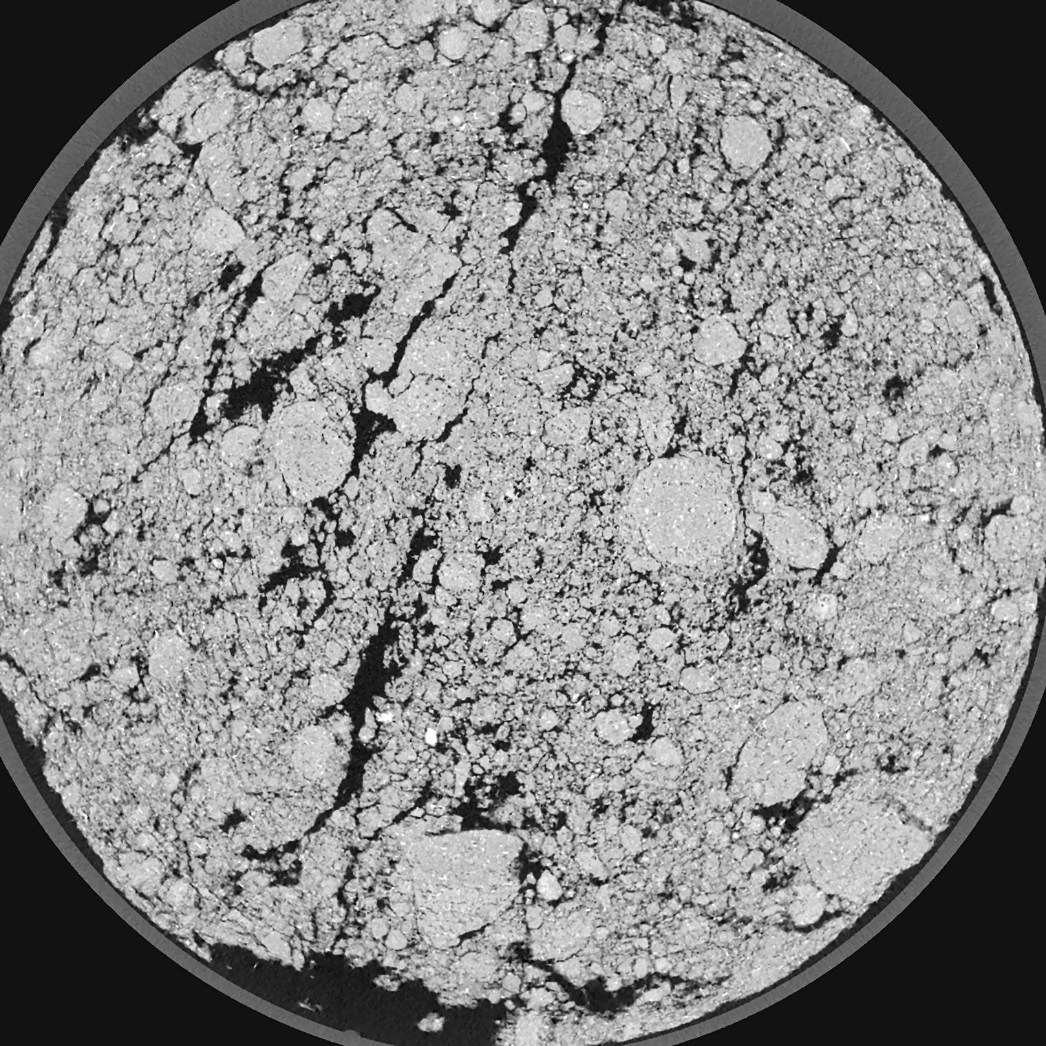
| XY Plane Grey |

|
|---|
|
| Texture | silty clay loam |
|---|
| Sand | 3.5 |
|---|
| Silt | 65.1 |
|---|
| Clay | 31.4 |
|---|
|
|
Results
| Porosity | Surface | Mean Curvature | Euler | MeanPoreSize | Gamma | PoreDist |
| 0.194 | 5.67 | 6.985 | -11.16375 | 0.0 | 0.9045 | 0.075713746 |
| Opening size | Volume | Surface | MeanCurvature | Euler number |
|---|
| 0.04 | 0.194 | 5.67 | 6.985 | -11.16375 |
| 0.05 | 0.1857 | 4.9785 | 5.345 | -5.2725 |
| 0.06 | 0.1761 | 4.424 | 4.1675 | -7.815 |
| 0.07 | 0.1671 | 4.0005 | 3.5475 | -4.1775 |
| 0.08 | 0.1622 | 3.7955 | 3.49 | 1.81875 |
| 0.09000000000000001 | 0.1352 | 2.8045 | 2.253 | 0.708175 |
| 0.1 | 0.1239 | 2.45 | 1.92525 | 1.52625 |
| 0.12000000000000001 | 0.1094 | 2.01 | 1.5445 | 2.265 |
| 0.13999999999999999 | 0.08425 | 1.361 | 0.9475 | 1.55 |
| 0.16 | 0.07102 | 1.0635 | 0.703 | 1.1526375 |
| 0.18 | 0.05455 | 0.732 | 0.43825 | 0.7536125 |
| 0.19999999999999998 | 0.04771 | 0.6075 | 0.349 | 0.5589375 |
| 0.22 | 0.03659 | 0.4245 | 0.224125 | 0.3627375 |
| 0.24 | 0.03176 | 0.34805 | 0.17495 | 0.254375 |
| 0.26 | 0.02567 | 0.2629 | 0.1237 | 0.1709375 |
| 0.28 | 0.02316 | 0.2281 | 0.103925 | 0.1300625 |
| 0.30000000000000004 | 0.0187 | 0.17315 | 0.07455 | 0.09377875 |
| 0.4 | 0.008847 | 0.06715 | 0.02399225 | 0.02289375 |
| 0.5 | 0.00429 | 0.028275 | 0.00916425 | 0.00898775 |
| 0.6 | 0.002248 | 0.013055 | 0.00373075 | 0.0030525 |
| 0.7000000000000001 | 0.001151 | 0.006265 | 0.0016992 | 0.001356625 |
| 0.9 | 0.0002897 | 0.0013185 | 0.000291675 | 0.000169575 |
Reference: An open Soil Structure Library based on X-ray CT data


