General Information
Internal Identifier ML_G244
| Soil Type | Regosol |
|---|
| Classification | WRB |
|---|
|
| Location | Garzweiler open-cast mine |
|---|
| Latitude | 51.063893 |
|---|
| Longitude | 6.502039 |
|---|
|
| Landuse | agricultural crop rotation |
|---|
| Tillage | conventional tillage |
|---|
| Crop | barley, summer wheat, winter wheat, winter wheat, lucerne |
|---|
|
| Sampling Depth | 9.0 |
|---|
| Sample Height | 3.0 |
|---|
| Sampling Date | March 15, 2017 |
|---|
| Voxel size | 0.02 |
|---|
| Pores white? | True |
|---|
|
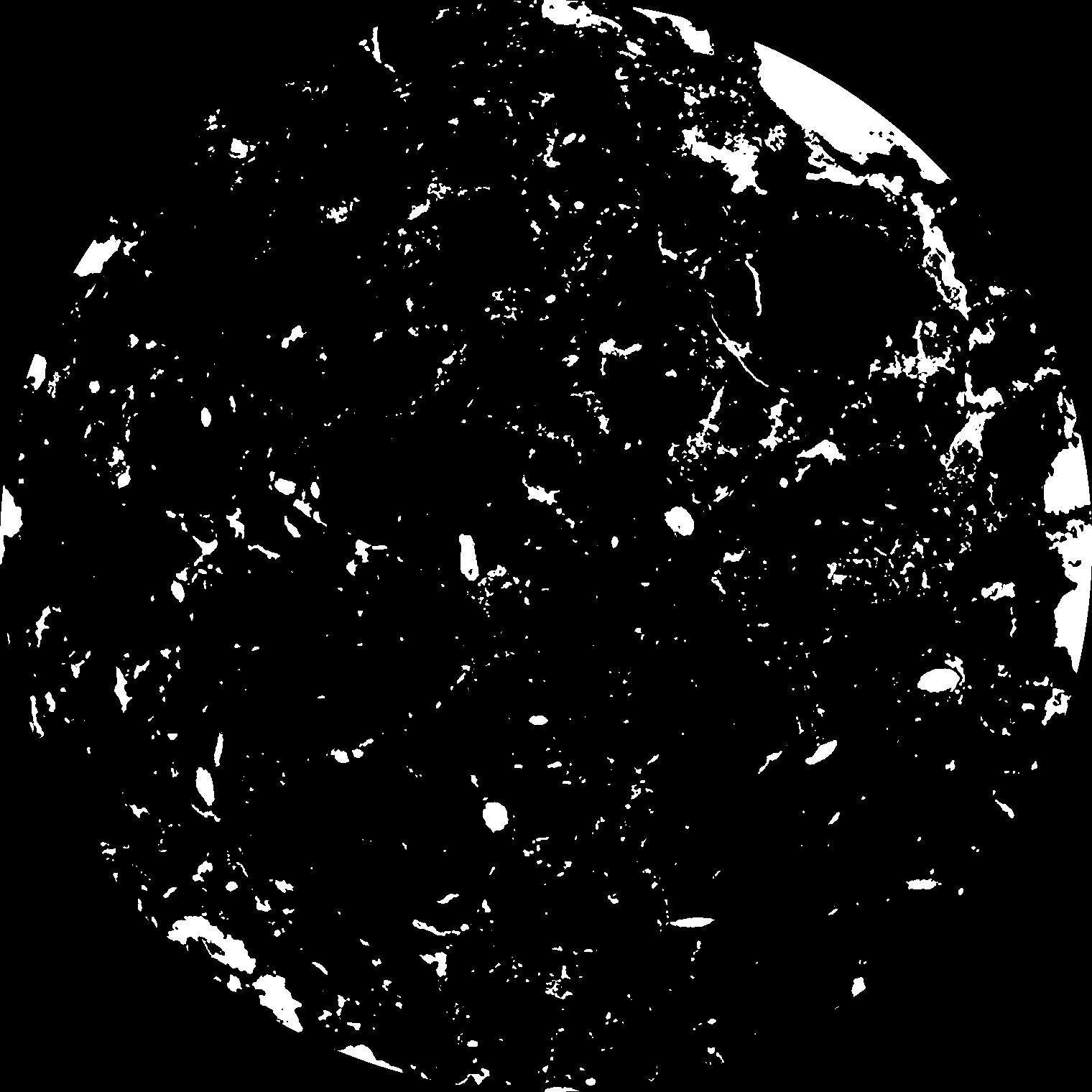
| XY Plane |

|
|---|
|
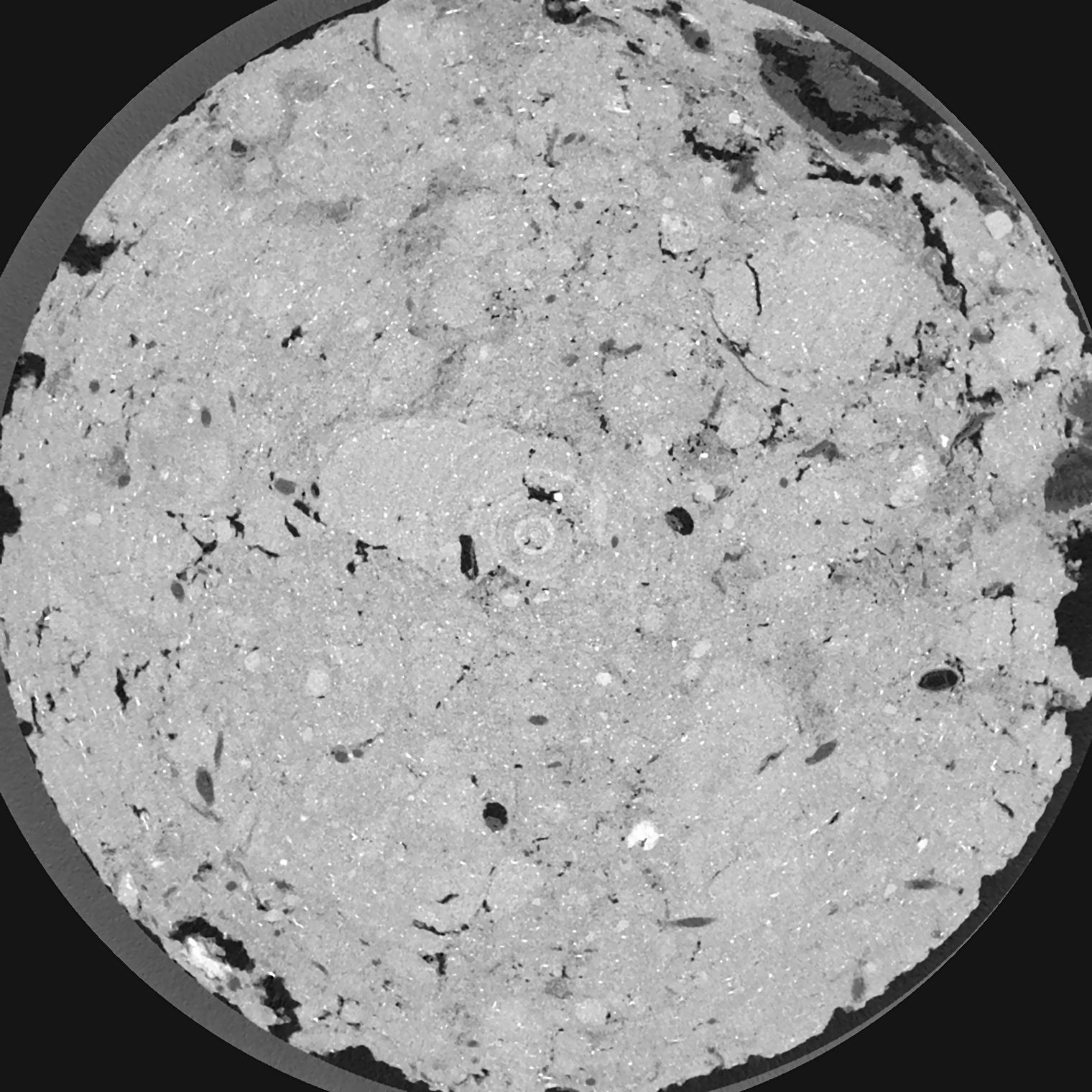
| XY Plane Grey |

|
|---|
|
| Texture | silty clay loam |
|---|
| Sand | 3.5 |
|---|
| Silt | 65.1 |
|---|
| Clay | 31.4 |
|---|
|
|
Results
| Porosity | Surface | Mean Curvature | Euler | MeanPoreSize | Gamma | PoreDist |
| 0.06552 | 1.538 | 2.19275 | 6.44125 | 0.0 | 0.3615 | 0.211567621 |
| Opening size | Volume | Surface | MeanCurvature | Euler number |
|---|
| 0.04 | 0.06552 | 1.538 | 2.19275 | 6.44125 |
| 0.05 | 0.06359 | 1.378 | 1.77575 | 5.54875 |
| 0.06 | 0.06169 | 1.2595 | 1.44025 | 3.16 |
| 0.07 | 0.05973 | 1.159 | 1.22975 | 2.65 |
| 0.08 | 0.05878 | 1.1175 | 1.20025 | 3.4725 |
| 0.09000000000000001 | 0.05239 | 0.8625 | 0.7665 | 1.74875 |
| 0.1 | 0.04953 | 0.767 | 0.6455 | 1.58375 |
| 0.12000000000000001 | 0.04578 | 0.646 | 0.507 | 1.2162125 |
| 0.13999999999999999 | 0.03938 | 0.47075 | 0.30775 | 0.6639875 |
| 0.16 | 0.03596 | 0.3896 | 0.228175 | 0.446575 |
| 0.18 | 0.03162 | 0.29935 | 0.146575 | 0.27195 |
| 0.19999999999999998 | 0.02975 | 0.26415 | 0.1188 | 0.1829375 |
| 0.22 | 0.02663 | 0.21475 | 0.085825 | 0.147475 |
| 0.24 | 0.02491 | 0.1883 | 0.069725 | 0.0936675 |
| 0.26 | 0.02245 | 0.155 | 0.050825 | 0.07288 |
| 0.28 | 0.02131 | 0.1396 | 0.042925 | 0.05038 |
| 0.30000000000000004 | 0.01915 | 0.11405 | 0.030275 | 0.03644 |
| 0.4 | 0.01477 | 0.0731 | 0.01539775 | 0.0151625 |
| 0.5 | 0.01143 | 0.049565 | 0.00925425 | 0.00855975 |
| 0.6 | 0.00866 | 0.033155 | 0.00547325 | 0.003423875 |
| 0.7000000000000001 | 0.006712 | 0.02372 | 0.00365375 | 0.0019565 |
| 0.9 | 0.004081 | 0.0124 | 0.001726625 | 0.00097825 |
| 1.1 | 0.002635 | 0.00732 | 0.00087065 | 0.000244562 |
| 1.3 | 0.001486 | 0.004348 | 0.000626075 | 0.000244562 |
| 1.5 | 0.0005538 | 0.001458 | 0.000200542 | 0.000081586 |
| 1.7 | 0.0004935 | 0.0013305 | 0.00019076 | 0.000081586 |
| 1.9 | 0.0003957 | 0.001134 | 0.000171195 | 0.000081586 |
Reference: An open Soil Structure Library based on X-ray CT data


