General Information
Internal Identifier ML_G267
| Soil Type | Regosol |
|---|
| Classification | WRB |
|---|
|
| Location | Garzweiler open-cast mine |
|---|
| Latitude | 51.063893 |
|---|
| Longitude | 6.502039 |
|---|
|
| Landuse | agricultural crop rotation |
|---|
| Tillage | conventional tillage |
|---|
| Crop | barley, summer wheat, winter wheat, winter wheat, lucerne |
|---|
|
| Sampling Depth | 9.0 |
|---|
| Sample Height | 3.0 |
|---|
| Sampling Date | March 15, 2017 |
|---|
| Voxel size | 0.02 |
|---|
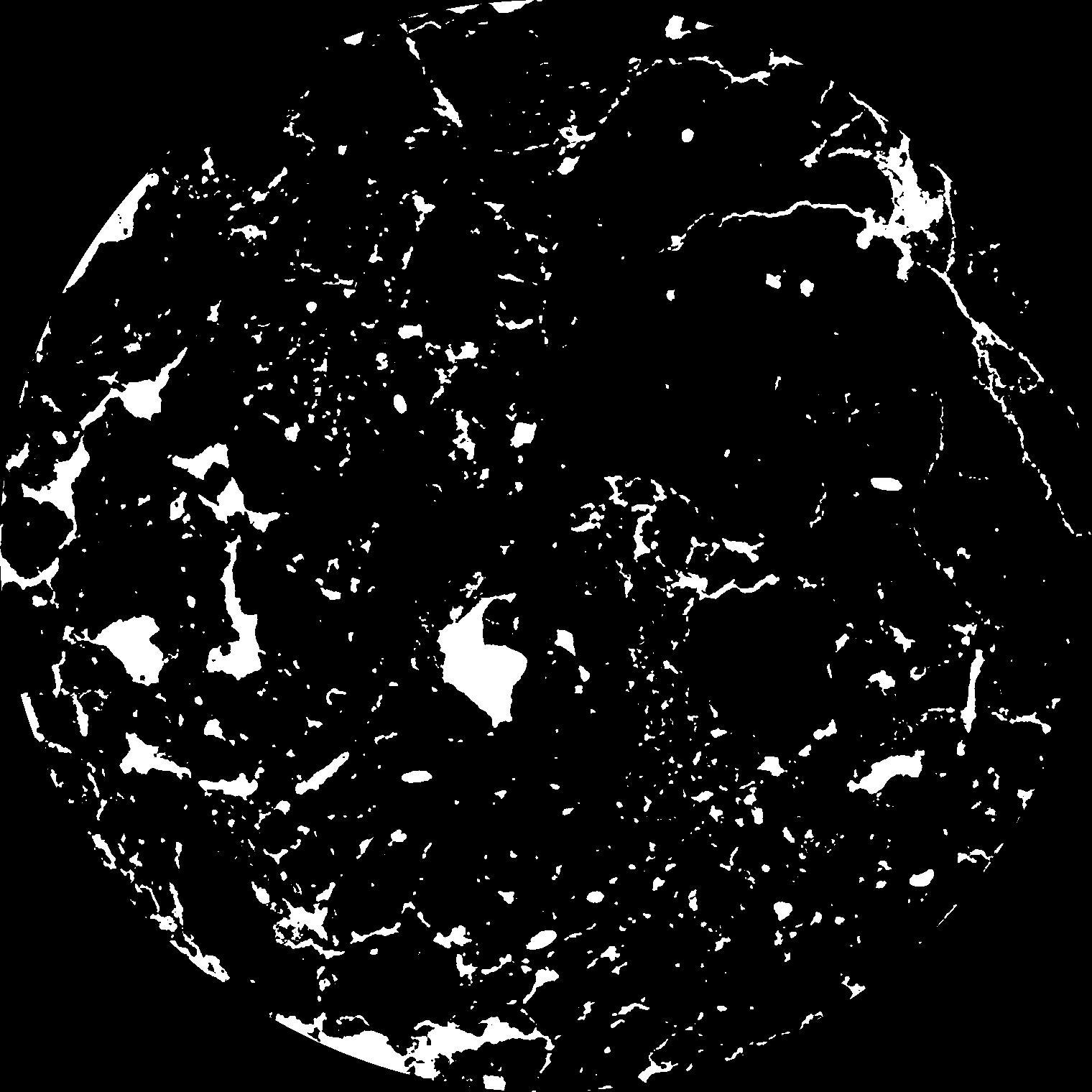
| Pores white? | True |
|---|
|
| XY Plane |

|
|---|
|
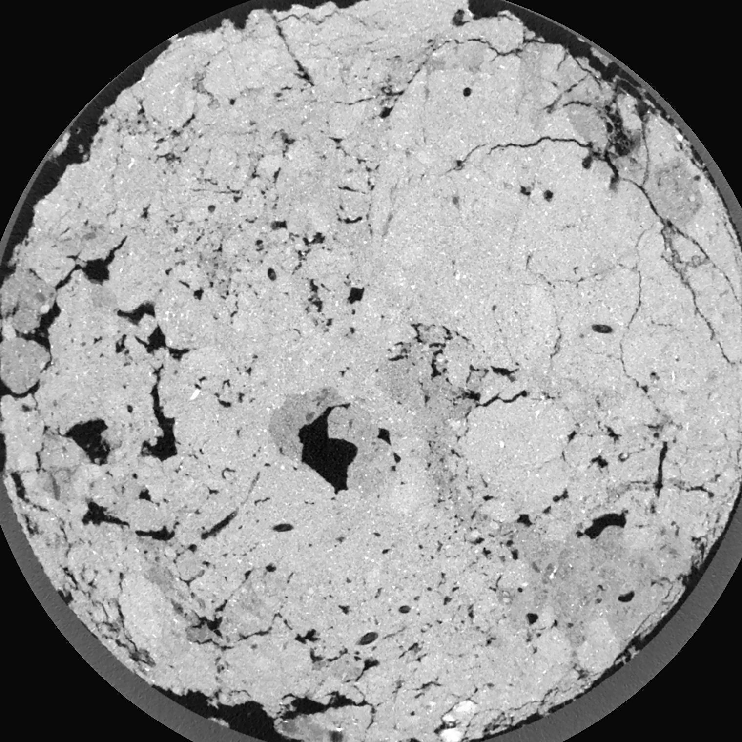
| XY Plane Grey |

|
|---|
|
| Texture | silty clay loam |
|---|
| Sand | 3.5 |
|---|
| Silt | 65.1 |
|---|
| Clay | 31.4 |
|---|
|
|
Results
| Porosity | Surface | Mean Curvature | Euler | MeanPoreSize | Gamma | PoreDist |
| 0.1019 | 1.8065 | 1.84525 | 3.3625 | 0.0 | 0.7217 | 0.187663912 |
| Opening size | Volume | Surface | MeanCurvature | Euler number |
|---|
| 0.04 | 0.1019 | 1.8065 | 1.84525 | 3.3625 |
| 0.05 | 0.1005 | 1.693 | 1.59925 | 3.4825 |
| 0.06 | 0.09909 | 1.61 | 1.3895 | 1.97625 |
| 0.07 | 0.09748 | 1.5315 | 1.24275 | 1.69125 |
| 0.08 | 0.09664 | 1.4965 | 1.22475 | 2.4375 |
| 0.09000000000000001 | 0.0906 | 1.273 | 0.89775 | 1.2925 |
| 0.1 | 0.08751 | 1.176 | 0.79225 | 1.26125 |
| 0.12000000000000001 | 0.08285 | 1.036 | 0.65975 | 1.0626 |
| 0.13999999999999999 | 0.07437 | 0.8225 | 0.459 | 0.6544125 |
| 0.16 | 0.06912 | 0.7085 | 0.37 | 0.4956875 |
| 0.18 | 0.06184 | 0.57 | 0.26725 | 0.381925 |
| 0.19999999999999998 | 0.05827 | 0.5065 | 0.22525 | 0.2711875 |
| 0.22 | 0.05232 | 0.41695 | 0.17275 | 0.25165 |
| 0.24 | 0.04907 | 0.36775 | 0.14505 | 0.1621875 |
| 0.26 | 0.04475 | 0.31135 | 0.115625 | 0.14525 |
| 0.28 | 0.04264 | 0.28295 | 0.101125 | 0.1035675 |
| 0.30000000000000004 | 0.03868 | 0.23635 | 0.07835 | 0.08446125 |
| 0.4 | 0.02843 | 0.1306 | 0.0324 | 0.03104875 |
| 0.5 | 0.02267 | 0.0848 | 0.01639275 | 0.01519875 |
| 0.6 | 0.019 | 0.0617 | 0.01038275 | 0.0080335 |
| 0.7000000000000001 | 0.01633 | 0.0468 | 0.00662225 | 0.004559625 |
| 0.9 | 0.0132 | 0.03304 | 0.003943 | 0.00217125 |
| 1.1 | 0.01081 | 0.024905 | 0.0027575 | 0.001519875 |
| 1.3 | 0.008822 | 0.018385 | 0.001736975 | 0.001085612 |
| 1.5 | 0.007673 | 0.01576 | 0.001480775 | 0.00043425 |
| 1.7 | 0.006151 | 0.01318 | 0.001389575 | 0.000868487 |
| 1.9 | 0.004208 | 0.0086 | 0.000911925 | 0.00043425 |
| 2.1 | 0.002876 | 0.00545 | 0.00052545 | 0.000217125 |
| 2.3 | 0.001948 | 0.0039705 | 0.0004299 | 0.000217125 |
| 2.5 | 0.001219 | 0.002363 | 0.000238835 | 0.000072432 |
Reference: An open Soil Structure Library based on X-ray CT data


