General Information
Internal Identifier ML_F307
| Soil Type | Regosol |
|---|
| Classification | WRB |
|---|
|
| Location | Garzweiler open-cast mine |
|---|
| Latitude | 51.063893 |
|---|
| Longitude | 6.502039 |
|---|
|
| Landuse | agricultural crop rotation |
|---|
| Tillage | conventional tillage |
|---|
| Crop | barley, summer wheat, winter wheat, winter wheat, lucerne |
|---|
|
| Sampling Depth | 43.0 |
|---|
| Sample Height | 3.0 |
|---|
| Sampling Date | March 15, 2017 |
|---|
| Voxel size | 0.02 |
|---|
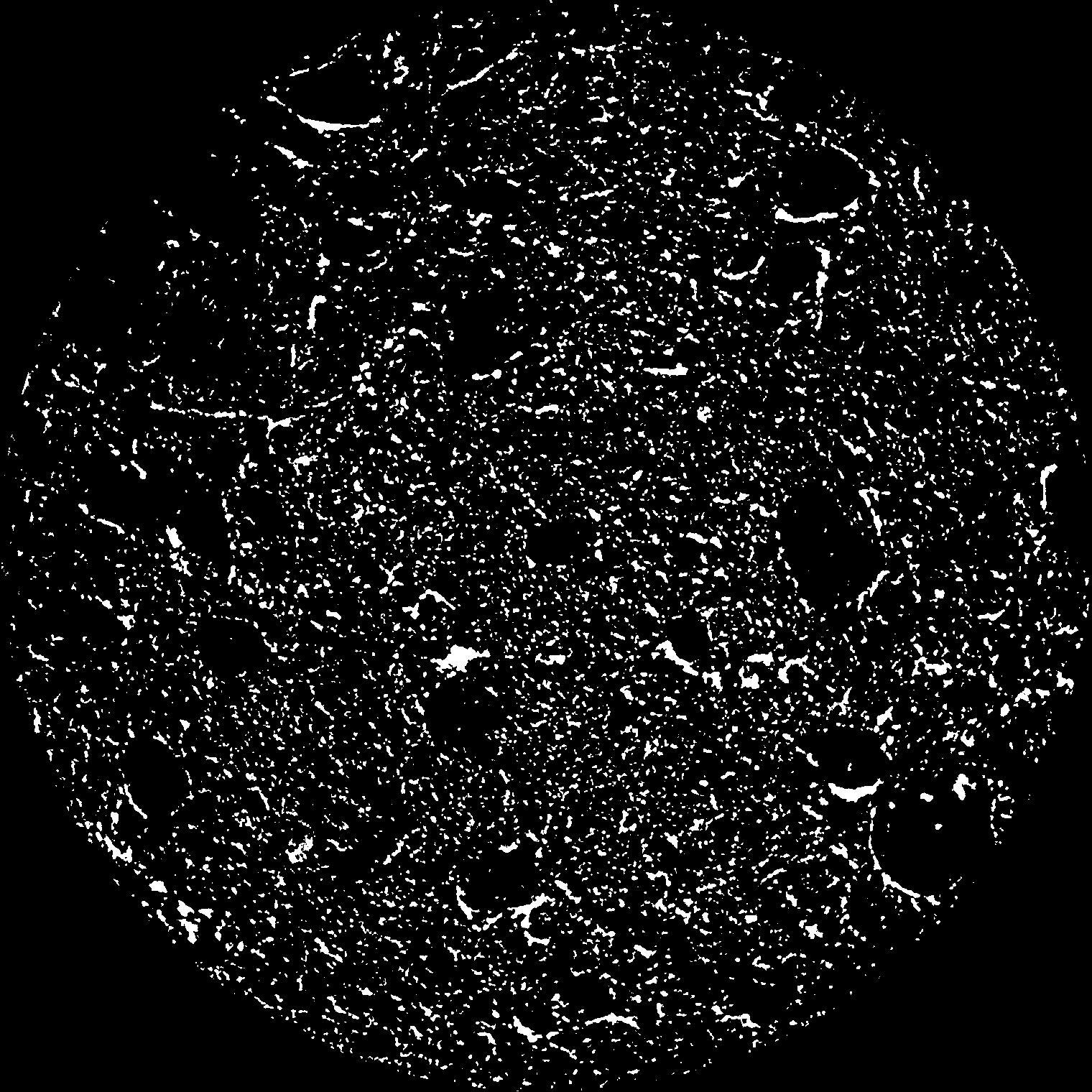
| Pores white? | True |
|---|
|
| XY Plane |

|
|---|
|
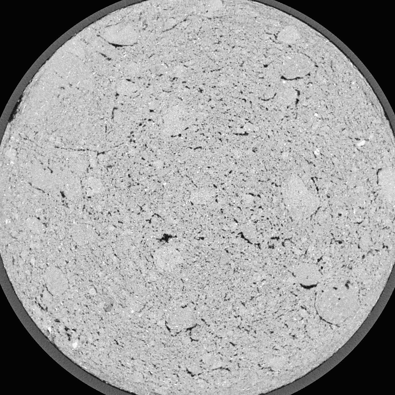
| XY Plane Grey |

|
|---|
|
| Texture | silty clay loam |
|---|
| Sand | 3.5 |
|---|
| Silt | 65.1 |
|---|
| Clay | 31.4 |
|---|
|
|
Results
| Porosity | Surface | Mean Curvature | Euler | MeanPoreSize | Gamma | PoreDist |
| 0.09695 | 3.7705 | 7.3975 | 27.325 | 0.0 | 0.003979 | 0.088748623 |
| Opening size | Volume | Surface | MeanCurvature | Euler number |
|---|
| 0.04 | 0.09695 | 3.7705 | 7.3975 | 27.325 |
| 0.05 | 0.09143 | 3.377 | 6.3775 | 28.2 |
| 0.06 | 0.08616 | 3.0305 | 5.31 | 21.625 |
| 0.07 | 0.07974 | 2.669 | 4.3825 | 17.35 |
| 0.08 | 0.07686 | 2.539 | 4.2425 | 19.75 |
| 0.09000000000000001 | 0.0572 | 1.6315 | 2.2115 | 8.1175 |
| 0.1 | 0.04944 | 1.339 | 1.7195 | 6.385 |
| 0.12000000000000001 | 0.0391 | 0.976 | 1.19125 | 4.14625 |
| 0.13999999999999999 | 0.02479 | 0.5385 | 0.56575 | 1.70875 |
| 0.16 | 0.01806 | 0.3619 | 0.35575 | 1.01145 |
| 0.18 | 0.01093 | 0.1941 | 0.168875 | 0.4612875 |
| 0.19999999999999998 | 0.008381 | 0.13985 | 0.115825 | 0.2899125 |
| 0.22 | 0.00513 | 0.07695 | 0.057025 | 0.1390875 |
| 0.24 | 0.003926 | 0.05495 | 0.038175 | 0.080225 |
| 0.26 | 0.00267 | 0.03473 | 0.022613 | 0.04696125 |
| 0.28 | 0.002216 | 0.027545 | 0.0173495 | 0.03244875 |
| 0.30000000000000004 | 0.001537 | 0.01762 | 0.01018475 | 0.0181 |
| 0.4 | 0.0005349 | 0.004767 | 0.002080625 | 0.002772 |
| 0.5 | 0.0002334 | 0.001827 | 0.0006881 | 0.00097835 |
| 0.6 | 0.00005839 | 0.000519 | 0.000244588 | 0.000326112 |
Reference: An open Soil Structure Library based on X-ray CT data


