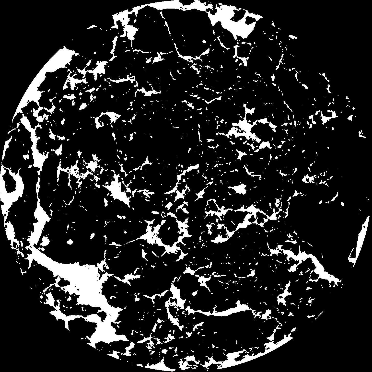
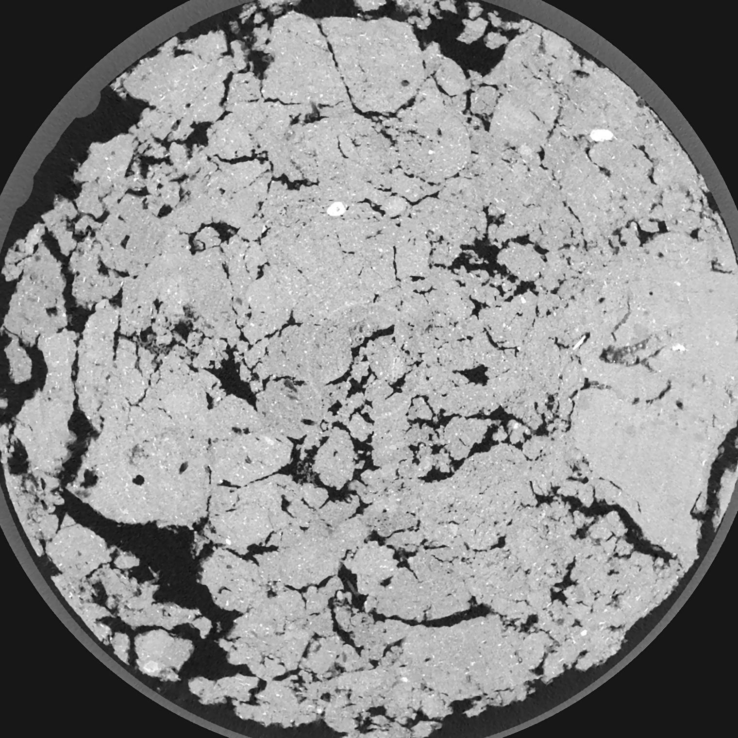
General Information
Internal Identifier ML_G351
| Soil Type | Regosol |
|---|
| Classification | WRB |
|---|
|
| Location | Garzweiler open-cast mine |
|---|
| Latitude | 51.063893 |
|---|
| Longitude | 6.502039 |
|---|
|
| Landuse | agricultural crop rotation |
|---|
| Tillage | conventional tillage |
|---|
| Crop | winter wheat, maize, winter barley, triticale, winter wheat |
|---|
|
| Sampling Depth | 9.0 |
|---|
| Sample Height | 3.0 |
|---|
| Sampling Date | March 15, 2017 |
|---|
| Voxel size | 0.02 |
|---|
| Pores white? | True |
|---|
|
| XY Plane |

|
|---|
|
| XY Plane Grey |

|
|---|
|
| Texture | silty clay loam |
|---|
| Sand | 3.5 |
|---|
| Silt | 65.1 |
|---|
| Clay | 31.4 |
|---|
|
|
Results
| Porosity | Surface | Mean Curvature | Euler | MeanPoreSize | Gamma | PoreDist |
| 0.178 | 2.2855 | 1.4685 | 1.34125 | 0.0 | 0.9319 | 0.17533293 |
| Opening size | Volume | Surface | MeanCurvature | Euler number |
|---|
| 0.04 | 0.178 | 2.2855 | 1.4685 | 1.34125 |
| 0.05 | 0.1766 | 2.1685 | 1.245 | 1.1158125 |
| 0.06 | 0.1751 | 2.084 | 1.065 | -0.10598875 |
| 0.07 | 0.1735 | 2.009 | 0.9535 | -0.102075 |
| 0.08 | 0.1725 | 1.971 | 0.941 | 0.6515875 |
| 0.09000000000000001 | 0.1663 | 1.7625 | 0.7145 | 0.008479 |
| 0.1 | 0.1632 | 1.6745 | 0.64825 | 0.09392125 |
| 0.12000000000000001 | 0.1585 | 1.544 | 0.56375 | 0.1951875 |
| 0.13999999999999999 | 0.1493 | 1.3405 | 0.44425 | 0.1418625 |
| 0.16 | 0.1431 | 1.2215 | 0.38675 | 0.12311 |
| 0.18 | 0.1336 | 1.0665 | 0.317 | 0.180675 |
| 0.19999999999999998 | 0.1286 | 0.989 | 0.28475 | 0.099955 |
| 0.22 | 0.1191 | 0.8685 | 0.245325 | 0.19045 |
| 0.24 | 0.1137 | 0.797 | 0.21945 | 0.10631375 |
| 0.26 | 0.1059 | 0.711 | 0.194125 | 0.14105 |
| 0.28 | 0.102 | 0.665 | 0.179225 | 0.090335 |
| 0.30000000000000004 | 0.09426 | 0.586 | 0.153875 | 0.1072925 |
| 0.4 | 0.0705 | 0.37025 | 0.086525 | 0.0691375 |
| 0.5 | 0.05293 | 0.24015 | 0.049075 | 0.03913375 |
| 0.6 | 0.04076 | 0.16465 | 0.029975 | 0.0195675 |
| 0.7000000000000001 | 0.03119 | 0.11265 | 0.01762025 | 0.010925 |
| 0.9 | 0.01967 | 0.0636 | 0.0089845 | 0.003261125 |
| 1.1 | 0.01148 | 0.03521 | 0.00510375 | 0.002282875 |
| 1.3 | 0.005834 | 0.01705 | 0.002488275 | 0.0013045 |
| 1.5 | 0.002871 | 0.00835 | 0.001265325 | 0.000652238 |
| 1.7 | 0.0009805 | 0.002463 | 0.000326125 | 0.000136013 |
| 1.9 | 0.0003781 | 0.0008035 | 0.00008479 | 0.000027199 |
Reference: An open Soil Structure Library based on X-ray CT data


