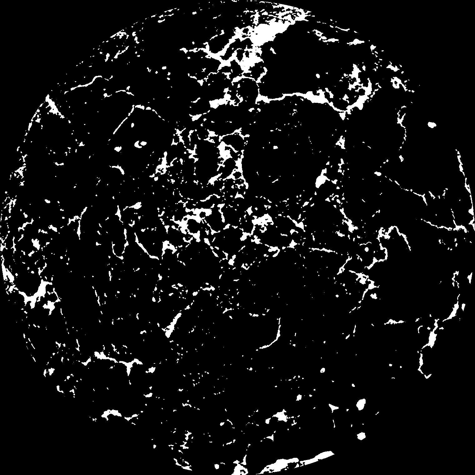
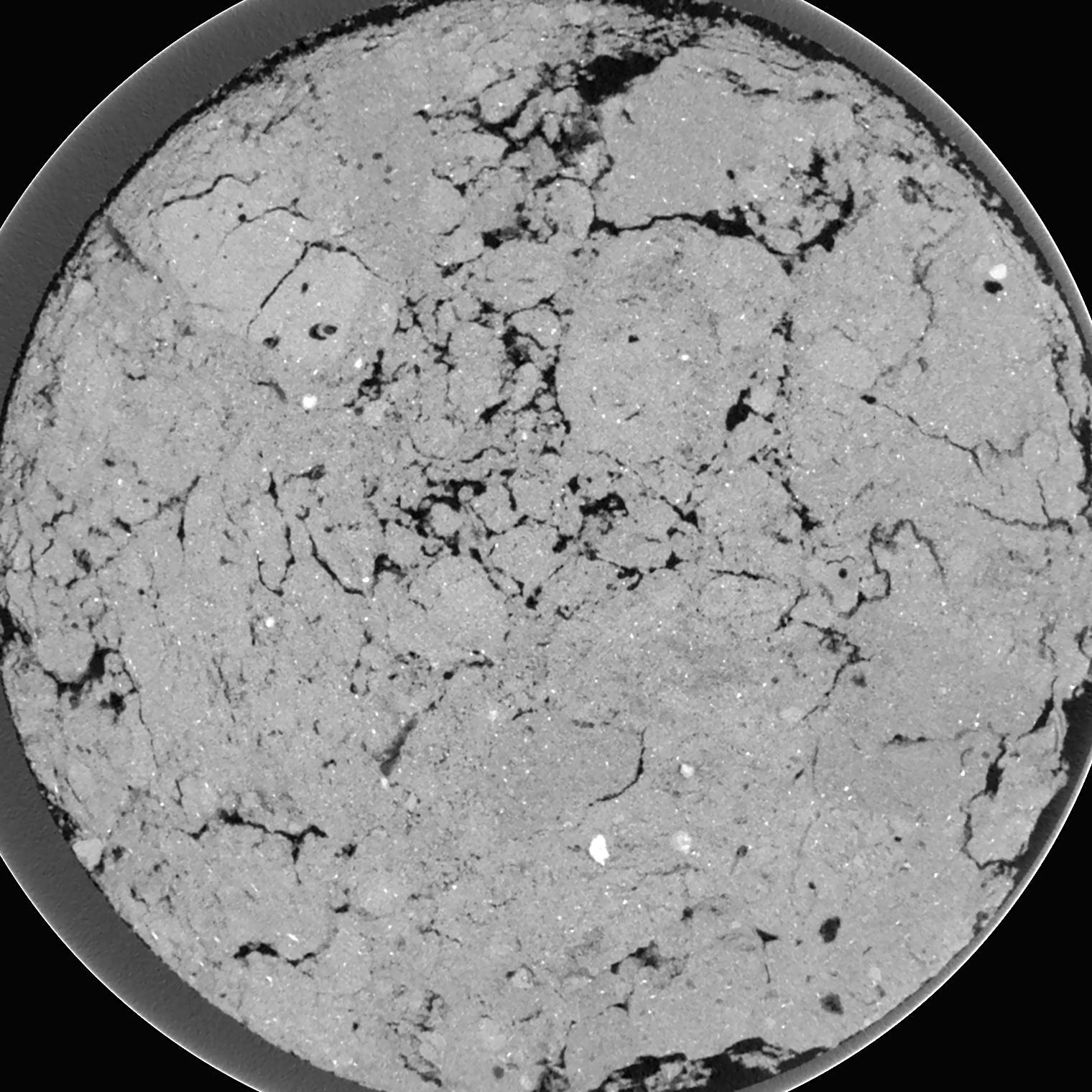
General Information
Internal Identifier ML_G364
| Soil Type | Regosol |
|---|
| Classification | WRB |
|---|
|
| Location | Garzweiler open-cast mine |
|---|
| Latitude | 51.063893 |
|---|
| Longitude | 6.502039 |
|---|
|
| Landuse | agricultural crop rotation |
|---|
| Tillage | conventional tillage |
|---|
| Crop | winter wheat, maize, winter barley, triticale, winter wheat |
|---|
|
| Sampling Depth | 9.0 |
|---|
| Sample Height | 3.0 |
|---|
| Sampling Date | March 15, 2017 |
|---|
| Voxel size | 0.02 |
|---|
| Pores white? | True |
|---|
|
| XY Plane |

|
|---|
|
| XY Plane Grey |

|
|---|
|
| Texture | silty clay loam |
|---|
| Sand | 3.5 |
|---|
| Silt | 65.1 |
|---|
| Clay | 31.4 |
|---|
|
|
Results
| Porosity | Surface | Mean Curvature | Euler | MeanPoreSize | Gamma | PoreDist |
| 0.09731 | 1.974 | 1.8985 | 1.46375 | 0.0 | 0.784 | 0.184998522 |
| Opening size | Volume | Surface | MeanCurvature | Euler number |
|---|
| 0.04 | 0.09731 | 1.974 | 1.8985 | 1.46375 |
| 0.05 | 0.09578 | 1.8525 | 1.6525 | 2.085 |
| 0.06 | 0.09403 | 1.755 | 1.43875 | 0.5242375 |
| 0.07 | 0.09191 | 1.6565 | 1.2845 | 0.4295 |
| 0.08 | 0.09077 | 1.6115 | 1.2765 | 1.565 |
| 0.09000000000000001 | 0.0828 | 1.332 | 0.93525 | 0.538425 |
| 0.1 | 0.07892 | 1.2155 | 0.83025 | 0.6822375 |
| 0.12000000000000001 | 0.07332 | 1.053 | 0.70175 | 0.8342125 |
| 0.13999999999999999 | 0.06272 | 0.7945 | 0.48725 | 0.6238625 |
| 0.16 | 0.05648 | 0.66 | 0.387 | 0.49065 |
| 0.18 | 0.0479 | 0.49565 | 0.2685 | 0.394925 |
| 0.19999999999999998 | 0.0439 | 0.42475 | 0.222325 | 0.29775 |
| 0.22 | 0.03723 | 0.3192 | 0.156075 | 0.2571375 |
| 0.24 | 0.03399 | 0.26805 | 0.124525 | 0.1735 |
| 0.26 | 0.02993 | 0.2116 | 0.09145 | 0.1371375 |
| 0.28 | 0.02822 | 0.1874 | 0.07755 | 0.1027275 |
| 0.30000000000000004 | 0.02525 | 0.15005 | 0.056575 | 0.07386625 |
| 0.4 | 0.01851 | 0.07495 | 0.01862775 | 0.02233875 |
| 0.5 | 0.01545 | 0.048375 | 0.007941 | 0.008805125 |
| 0.6 | 0.01406 | 0.03896 | 0.004931 | 0.00358725 |
| 0.7000000000000001 | 0.01314 | 0.034245 | 0.00391675 | 0.00358725 |
| 0.9 | 0.01162 | 0.02828 | 0.003046 | 0.002445875 |
| 1.1 | 0.01009 | 0.022715 | 0.002165425 | 0.00195675 |
| 1.3 | 0.008754 | 0.019275 | 0.0019078 | 0.001141413 |
| 1.5 | 0.007438 | 0.016265 | 0.00167625 | 0.0008153 |
| 1.7 | 0.005464 | 0.011625 | 0.0011838 | 0.000326112 |
| 1.9 | 0.003896 | 0.008565 | 0.000942475 | 0.000326112 |
| 2.1 | 0.00196 | 0.004002 | 0.000401125 | 0.000108809 |
| 2.3 | 0.0004571 | 0.00109 | 0.00013697 | 0.000054396 |
Reference: An open Soil Structure Library based on X-ray CT data


