General Information
Internal Identifier ML_H365
| Soil Type | Regosol |
|---|
| Classification | WRB |
|---|
|
| Location | Garzweiler open-cast mine |
|---|
| Latitude | 51.063893 |
|---|
| Longitude | 6.502039 |
|---|
|
| Landuse | agricultural crop rotation |
|---|
| Tillage | conventional tillage |
|---|
| Crop | winter wheat, maize, winter barley, triticale, winter wheat |
|---|
|
| Sampling Depth | 15.0 |
|---|
| Sample Height | 3.0 |
|---|
| Sampling Date | March 15, 2017 |
|---|
| Voxel size | 0.02 |
|---|
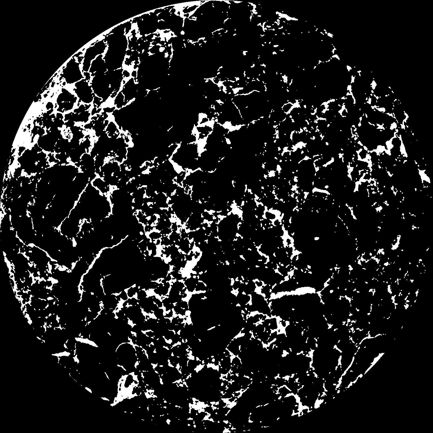
| Pores white? | True |
|---|
|
| XY Plane |

|
|---|
|
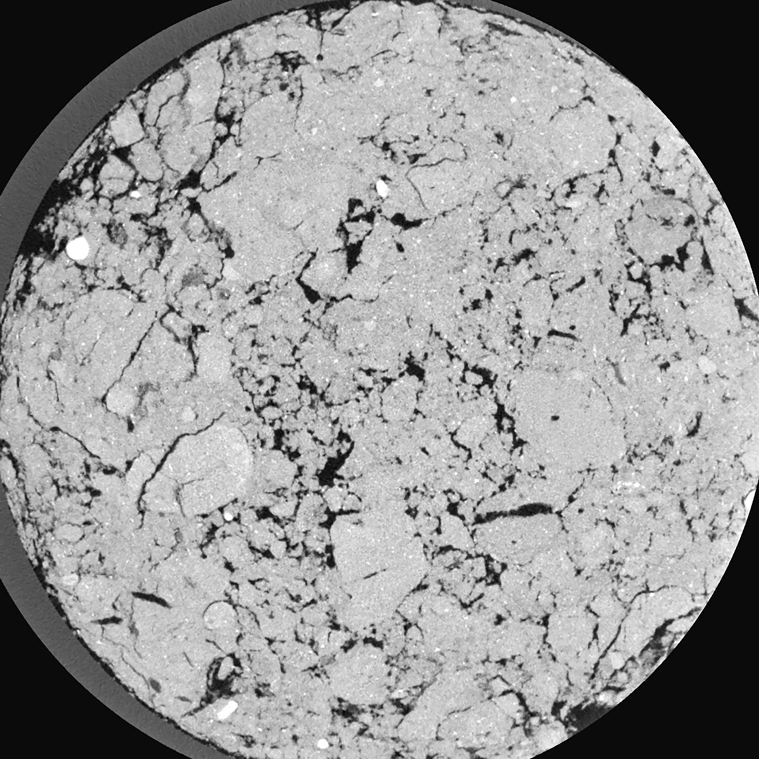
| XY Plane Grey |

|
|---|
|
| Texture | silty clay loam |
|---|
| Sand | 3.5 |
|---|
| Silt | 65.1 |
|---|
| Clay | 31.4 |
|---|
|
|
Results
| Porosity | Surface | Mean Curvature | Euler | MeanPoreSize | Gamma | PoreDist |
| 0.1075 | 2.383 | 2.26125 | -0.0893825 | 0.0 | 0.8476 | 0.169188581 |
| Opening size | Volume | Surface | MeanCurvature | Euler number |
|---|
| 0.04 | 0.1075 | 2.383 | 2.26125 | -0.0893825 |
| 0.05 | 0.1056 | 2.237 | 1.96825 | 0.8860625 |
| 0.06 | 0.1037 | 2.127 | 1.7305 | -0.37705 |
| 0.07 | 0.1014 | 2.0195 | 1.56425 | -0.1296 |
| 0.08 | 0.1001 | 1.9675 | 1.54825 | 1.1716125 |
| 0.09000000000000001 | 0.09152 | 1.6665 | 1.18375 | 0.49325 |
| 0.1 | 0.08707 | 1.5325 | 1.066 | 0.8164375 |
| 0.12000000000000001 | 0.08035 | 1.3365 | 0.9105 | 1.0057875 |
| 0.13999999999999999 | 0.06782 | 1.029 | 0.6535 | 0.81385 |
| 0.16 | 0.06008 | 0.8615 | 0.53025 | 0.6767125 |
| 0.18 | 0.04932 | 0.6555 | 0.381 | 0.5657 |
| 0.19999999999999998 | 0.04401 | 0.5605 | 0.31825 | 0.439625 |
| 0.22 | 0.0352 | 0.42025 | 0.2284 | 0.368825 |
| 0.24 | 0.03078 | 0.3503 | 0.1851 | 0.2632125 |
| 0.26 | 0.02517 | 0.27185 | 0.13815 | 0.20535 |
| 0.28 | 0.02271 | 0.23705 | 0.118525 | 0.1597125 |
| 0.30000000000000004 | 0.01826 | 0.1807 | 0.086675 | 0.11854875 |
| 0.4 | 0.008154 | 0.06635 | 0.02775 | 0.03645875 |
| 0.5 | 0.003643 | 0.02374 | 0.00821375 | 0.009643875 |
| 0.6 | 0.001999 | 0.010515 | 0.002865 | 0.002587375 |
| 0.7000000000000001 | 0.001338 | 0.0064 | 0.0016324 | 0.00141125 |
| 0.9 | 0.0005107 | 0.001746 | 0.000296375 | 0.000156962 |
| 1.1 | 0.0003738 | 0.0011925 | 0.000188172 | 0.000156962 |
| 1.3 | 0.0002994 | 0.0009765 | 0.000159947 | 0.000078469 |
| 1.5 | 0.0001594 | 0.0006105 | 0.000127017 | 0.000078469 |
Reference: An open Soil Structure Library based on X-ray CT data


