General Information
Internal Identifier ML_F392
| Soil Type | Regosol |
|---|
| Classification | WRB |
|---|
|
| Location | Garzweiler open-cast mine |
|---|
| Latitude | 51.063893 |
|---|
| Longitude | 6.502039 |
|---|
|
| Landuse | agricultural crop rotation |
|---|
| Tillage | conventional tillage |
|---|
| Crop | winter wheat, maize, winter barley, triticale, winter wheat |
|---|
|
| Sampling Depth | 43.0 |
|---|
| Sample Height | 3.0 |
|---|
| Sampling Date | March 15, 2017 |
|---|
| Voxel size | 0.02 |
|---|
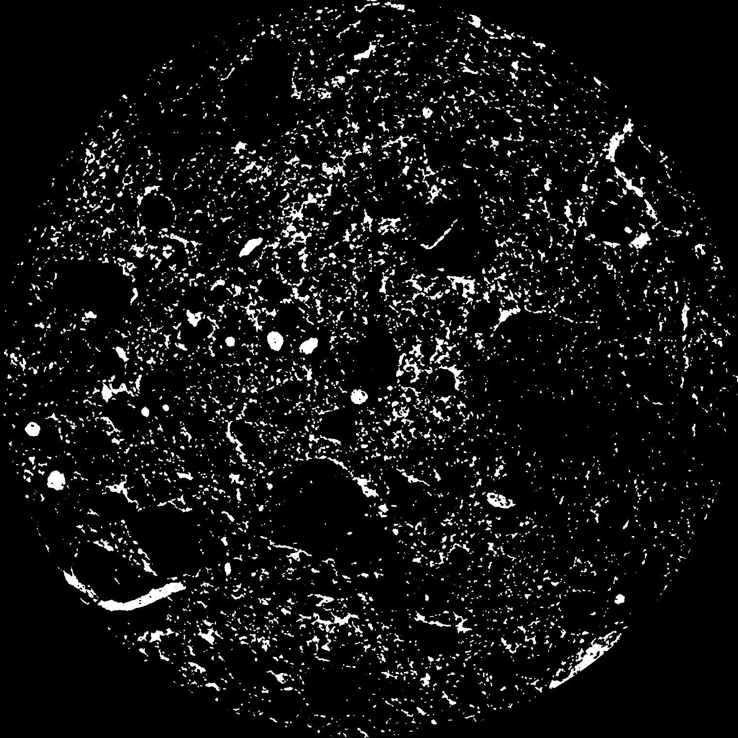
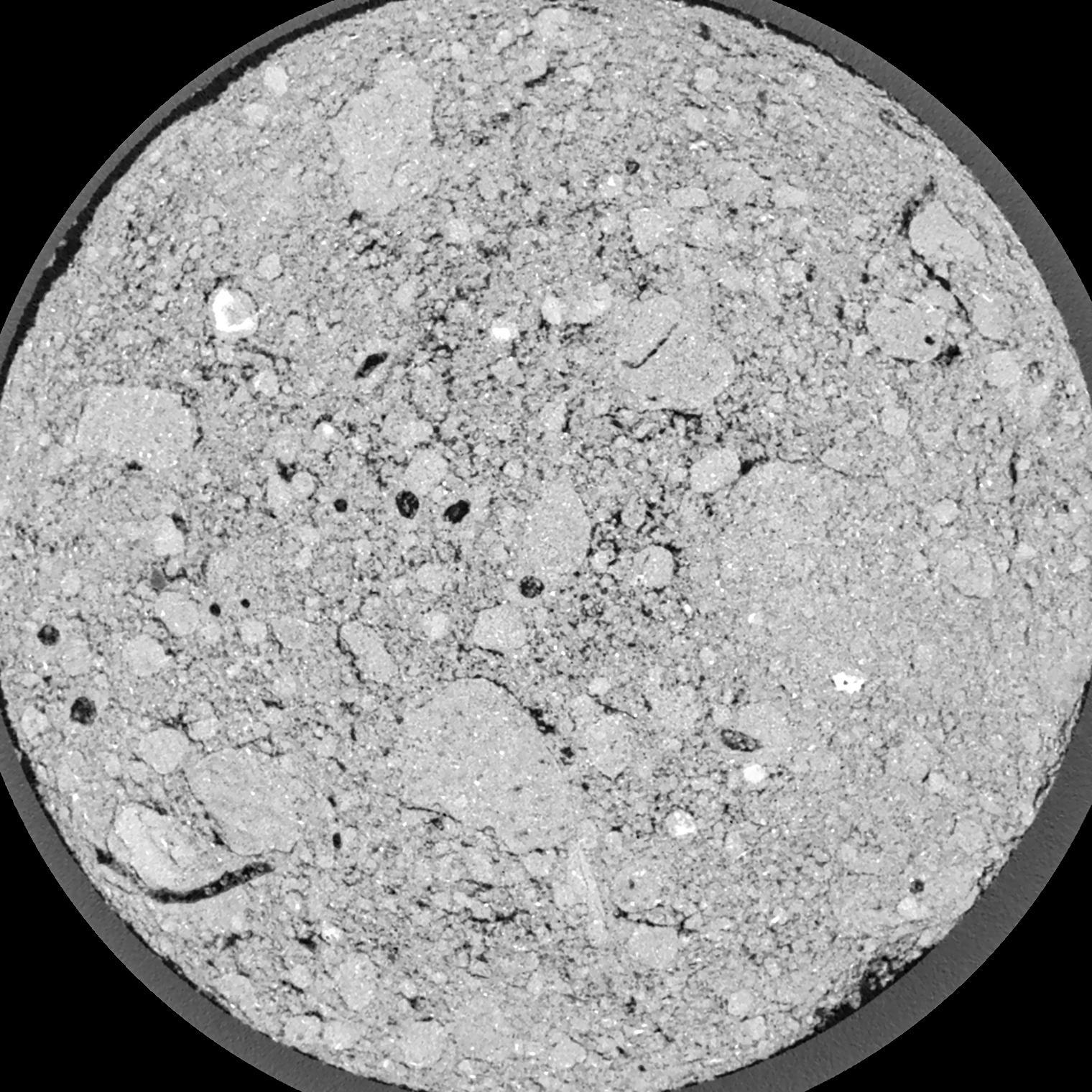
| Pores white? | True |
|---|
|
| XY Plane |

|
|---|
|
| XY Plane Grey |

|
|---|
|
| Texture | silty clay loam |
|---|
| Sand | 3.5 |
|---|
| Silt | 65.1 |
|---|
| Clay | 31.4 |
|---|
|
|
Results
| Porosity | Surface | Mean Curvature | Euler | MeanPoreSize | Gamma | PoreDist |
| 0.1008 | 3.5415 | 6.2475 | 15.65 | 0.0 | 0.5304 | 0.101244065 |
| Opening size | Volume | Surface | MeanCurvature | Euler number |
|---|
| 0.04 | 0.1008 | 3.5415 | 6.2475 | 15.65 |
| 0.05 | 0.09501 | 3.092 | 4.995 | 14.7375 |
| 0.06 | 0.08894 | 2.7065 | 3.8875 | 8.0225 |
| 0.07 | 0.08286 | 2.3865 | 3.205 | 7.035 |
| 0.08 | 0.07991 | 2.258 | 3.11 | 10.095 |
| 0.09000000000000001 | 0.06282 | 1.5365 | 1.7755 | 4.8125 |
| 0.1 | 0.05587 | 1.289 | 1.42675 | 4.1975 |
| 0.12000000000000001 | 0.04693 | 0.988 | 1.04 | 3.23 |
| 0.13999999999999999 | 0.03381 | 0.6 | 0.529 | 1.4725 |
| 0.16 | 0.02766 | 0.44365 | 0.35225 | 0.898275 |
| 0.18 | 0.0209 | 0.2914 | 0.19215 | 0.4253125 |
| 0.19999999999999998 | 0.0183 | 0.23965 | 0.146175 | 0.2735375 |
| 0.22 | 0.01446 | 0.1729 | 0.0922 | 0.155 |
| 0.24 | 0.01279 | 0.14585 | 0.07385 | 0.09717 |
| 0.26 | 0.01068 | 0.11665 | 0.0567 | 0.07716 |
| 0.28 | 0.009679 | 0.10255 | 0.0486 | 0.0524 |
| 0.30000000000000004 | 0.007904 | 0.0805 | 0.036775 | 0.04205625 |
| 0.4 | 0.003281 | 0.029255 | 0.01210475 | 0.0132275 |
| 0.5 | 0.0008897 | 0.0069 | 0.00269625 | 0.003391625 |
| 0.6 | 0.000276 | 0.0018755 | 0.0006444 | 0.000678325 |
| 0.7000000000000001 | 0.00009918 | 0.000606 | 0.000179755 | 0.00014145 |
Reference: An open Soil Structure Library based on X-ray CT data


