General Information
Internal Identifier ML_G412
| Soil Type | Regosol |
|---|
| Classification | WRB |
|---|
|
| Location | Garzweiler open-cast mine |
|---|
| Latitude | 51.063893 |
|---|
| Longitude | 6.502039 |
|---|
|
| Landuse | agricultural crop rotation |
|---|
| Tillage | conventional tillage |
|---|
| Crop | winter wheat, maize, winter barley, triticale, winter wheat |
|---|
|
| Sampling Depth | 49.0 |
|---|
| Sample Height | 3.0 |
|---|
| Sampling Date | March 15, 2017 |
|---|
| Voxel size | 0.02 |
|---|
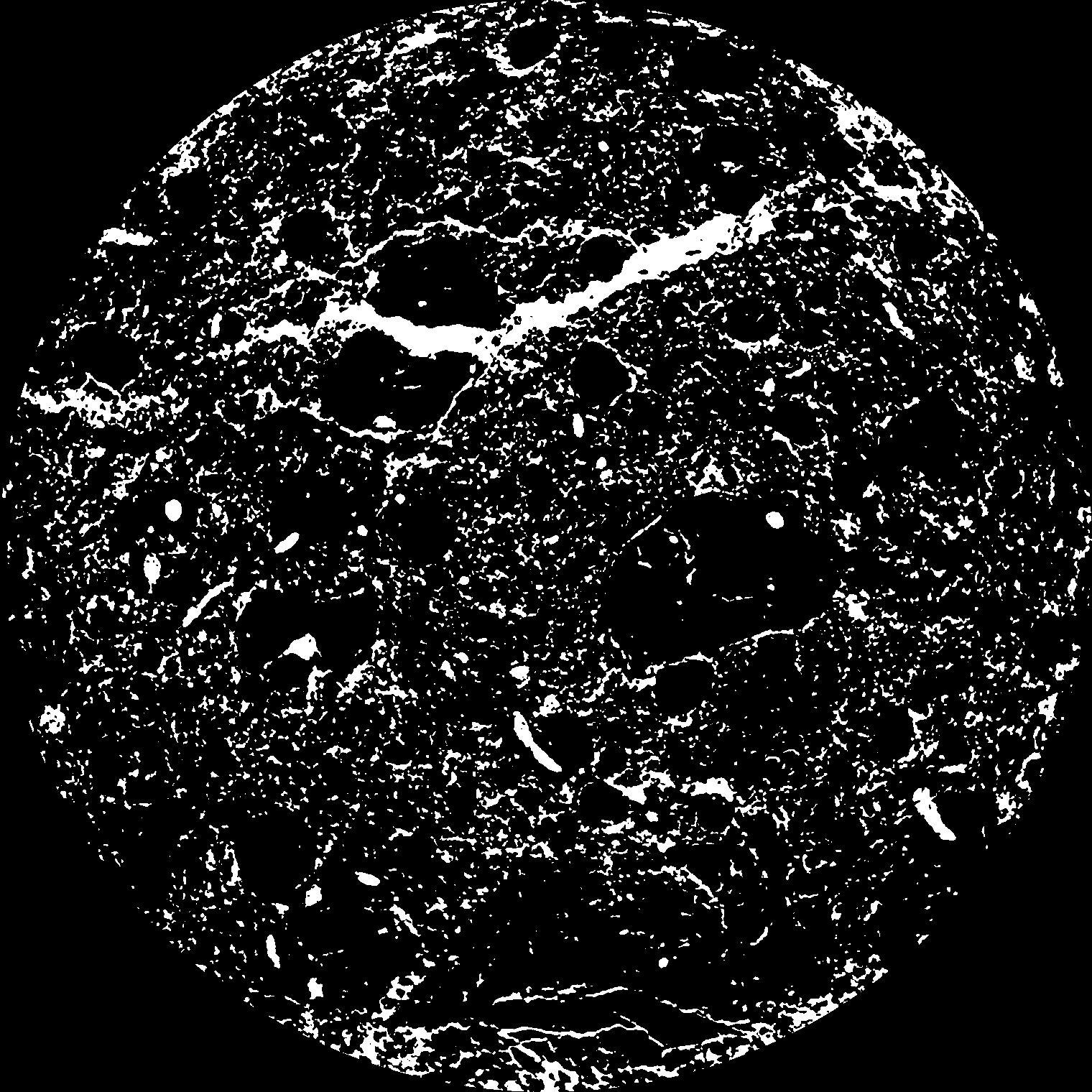
| Pores white? | True |
|---|
|
| XY Plane |

|
|---|
|
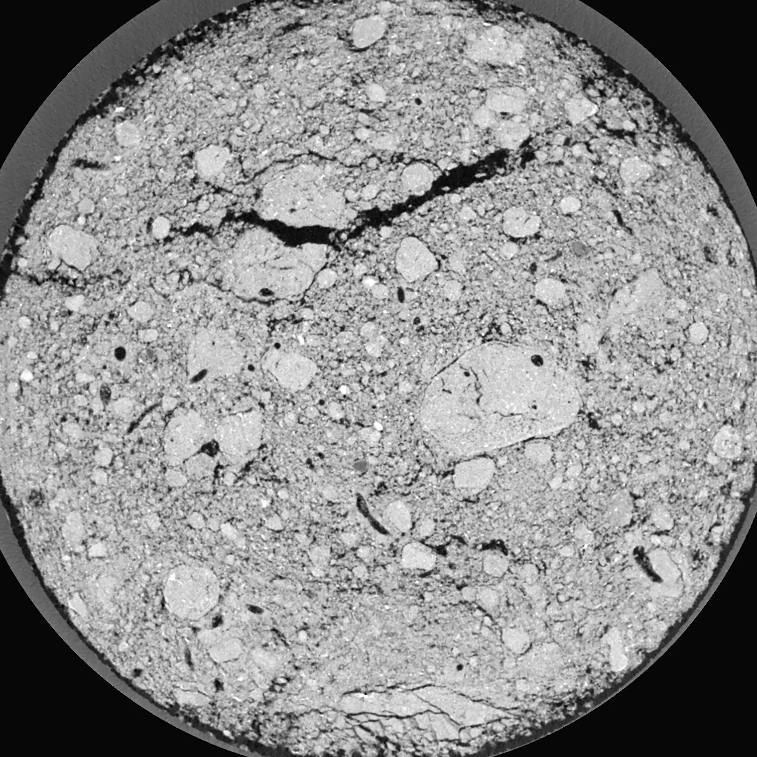
| XY Plane Grey |

|
|---|
|
| Texture | silty clay loam |
|---|
| Sand | 3.5 |
|---|
| Silt | 65.1 |
|---|
| Clay | 31.4 |
|---|
|
|
Results
| Porosity | Surface | Mean Curvature | Euler | MeanPoreSize | Gamma | PoreDist |
| 0.1291 | 4.106 | 6.0025 | 1.1386625 | 0.0 | 0.7139 | 0.100856251 |
| Opening size | Volume | Surface | MeanCurvature | Euler number |
|---|
| 0.04 | 0.1291 | 4.106 | 6.0025 | 1.1386625 |
| 0.05 | 0.1237 | 3.691 | 5.0925 | 6.99875 |
| 0.06 | 0.1176 | 3.325 | 4.2 | 4.3925 |
| 0.07 | 0.111 | 2.9925 | 3.5575 | 4.7725 |
| 0.08 | 0.1076 | 2.846 | 3.4675 | 8.55125 |
| 0.09000000000000001 | 0.08748 | 2.031 | 2.10125 | 4.20125 |
| 0.1 | 0.07893 | 1.7385 | 1.7275 | 3.89875 |
| 0.12000000000000001 | 0.06762 | 1.3695 | 1.30125 | 3.31125 |
| 0.13999999999999999 | 0.04981 | 0.8675 | 0.70675 | 1.61375 |
| 0.16 | 0.04097 | 0.6535 | 0.4905 | 1.0257875 |
| 0.18 | 0.03064 | 0.43015 | 0.279 | 0.5327625 |
| 0.19999999999999998 | 0.02651 | 0.3499 | 0.21315 | 0.3552375 |
| 0.22 | 0.02038 | 0.244 | 0.132375 | 0.2148 |
| 0.24 | 0.01776 | 0.20105 | 0.10305 | 0.1346 |
| 0.26 | 0.01454 | 0.1552 | 0.074825 | 0.0973325 |
| 0.28 | 0.01312 | 0.13505 | 0.06335 | 0.0699525 |
| 0.30000000000000004 | 0.01049 | 0.1019 | 0.0451 | 0.05246375 |
| 0.4 | 0.004626 | 0.03699 | 0.0136265 | 0.013955 |
| 0.5 | 0.001885 | 0.013025 | 0.00419 | 0.0042395 |
| 0.6 | 0.0008121 | 0.00552 | 0.001826525 | 0.001589875 |
| 0.7000000000000001 | 0.0001726 | 0.0011645 | 0.00040275 | 0.0003533 |
Reference: An open Soil Structure Library based on X-ray CT data


