General Information
Internal Identifier ML_F422
| Soil Type | Regosol |
|---|
| Classification | WRB |
|---|
|
| Location | Garzweiler open-cast mine |
|---|
| Latitude | 51.063893 |
|---|
| Longitude | 6.502039 |
|---|
|
| Landuse | agricultural crop rotation |
|---|
| Tillage | conventional tillage |
|---|
| Crop | winter wheat, maize, winter barley, triticale, winter wheat |
|---|
|
| Sampling Depth | 43.0 |
|---|
| Sample Height | 3.0 |
|---|
| Sampling Date | March 15, 2017 |
|---|
| Voxel size | 0.02 |
|---|
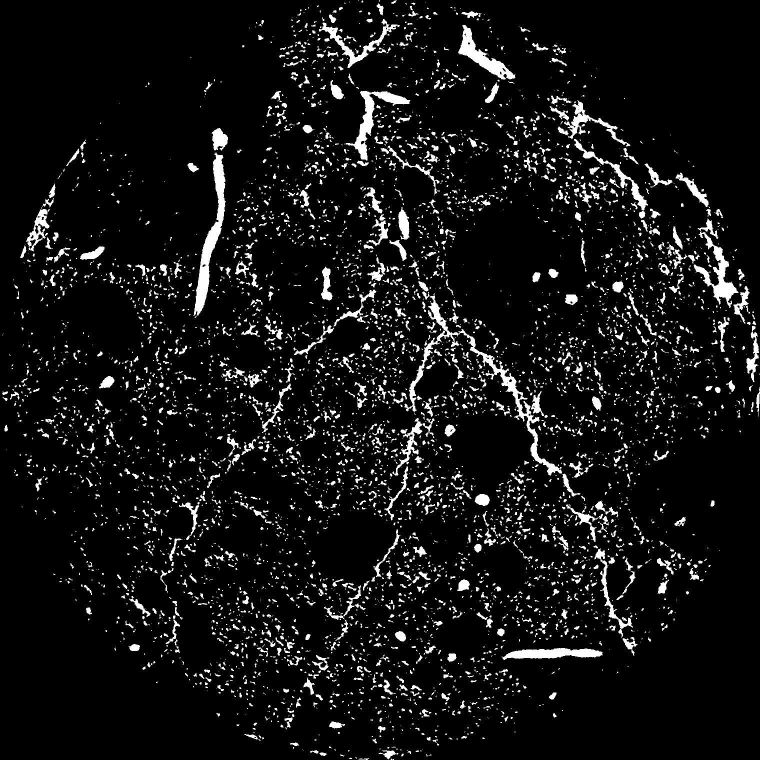
| Pores white? | True |
|---|
|
| XY Plane |

|
|---|
|
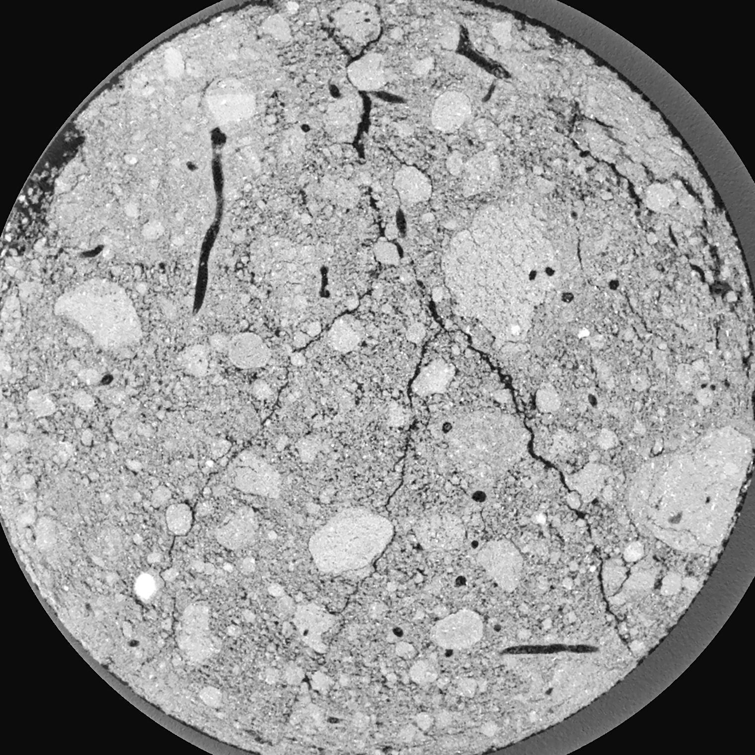
| XY Plane Grey |

|
|---|
|
| Texture | silty clay loam |
|---|
| Sand | 3.5 |
|---|
| Silt | 65.1 |
|---|
| Clay | 31.4 |
|---|
|
|
Results
| Porosity | Surface | Mean Curvature | Euler | MeanPoreSize | Gamma | PoreDist |
| 0.07948 | 2.839 | 5.29 | 16.3125 | 0.0 | 0.3883 | 0.133523723 |
| Opening size | Volume | Surface | MeanCurvature | Euler number |
|---|
| 0.04 | 0.07948 | 2.839 | 5.29 | 16.3125 |
| 0.05 | 0.0746 | 2.47 | 4.275 | 16.4625 |
| 0.06 | 0.06932 | 2.1315 | 3.28 | 9.90875 |
| 0.07 | 0.064 | 1.846 | 2.63 | 8.0675 |
| 0.08 | 0.06151 | 1.7365 | 2.54 | 10.42375 |
| 0.09000000000000001 | 0.04717 | 1.115 | 1.31025 | 4.18375 |
| 0.1 | 0.04171 | 0.9165 | 1.01 | 3.29875 |
| 0.12000000000000001 | 0.03512 | 0.691 | 0.703 | 2.3 |
| 0.13999999999999999 | 0.02601 | 0.4176 | 0.32625 | 0.8068625 |
| 0.16 | 0.02214 | 0.3208 | 0.2189 | 0.439375 |
| 0.18 | 0.01791 | 0.22965 | 0.130375 | 0.2011875 |
| 0.19999999999999998 | 0.01625 | 0.1988 | 0.10645 | 0.1329625 |
| 0.22 | 0.01355 | 0.15515 | 0.077325 | 0.10444625 |
| 0.24 | 0.01224 | 0.13475 | 0.064725 | 0.0653275 |
| 0.26 | 0.01048 | 0.1109 | 0.051625 | 0.05627 |
| 0.28 | 0.009643 | 0.0991 | 0.045125 | 0.0396975 |
| 0.30000000000000004 | 0.007998 | 0.07895 | 0.035025 | 0.03584375 |
| 0.4 | 0.003462 | 0.02858 | 0.011227 | 0.01329625 |
| 0.5 | 0.001566 | 0.0109 | 0.00354975 | 0.003276 |
| 0.6 | 0.0007964 | 0.005155 | 0.001614875 | 0.001541625 |
| 0.7000000000000001 | 0.0002855 | 0.001701 | 0.0005126 | 0.000963525 |
Reference: An open Soil Structure Library based on X-ray CT data


