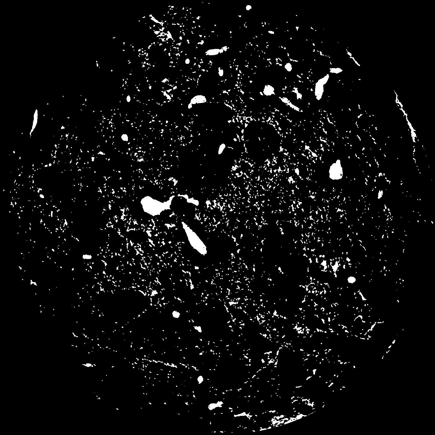
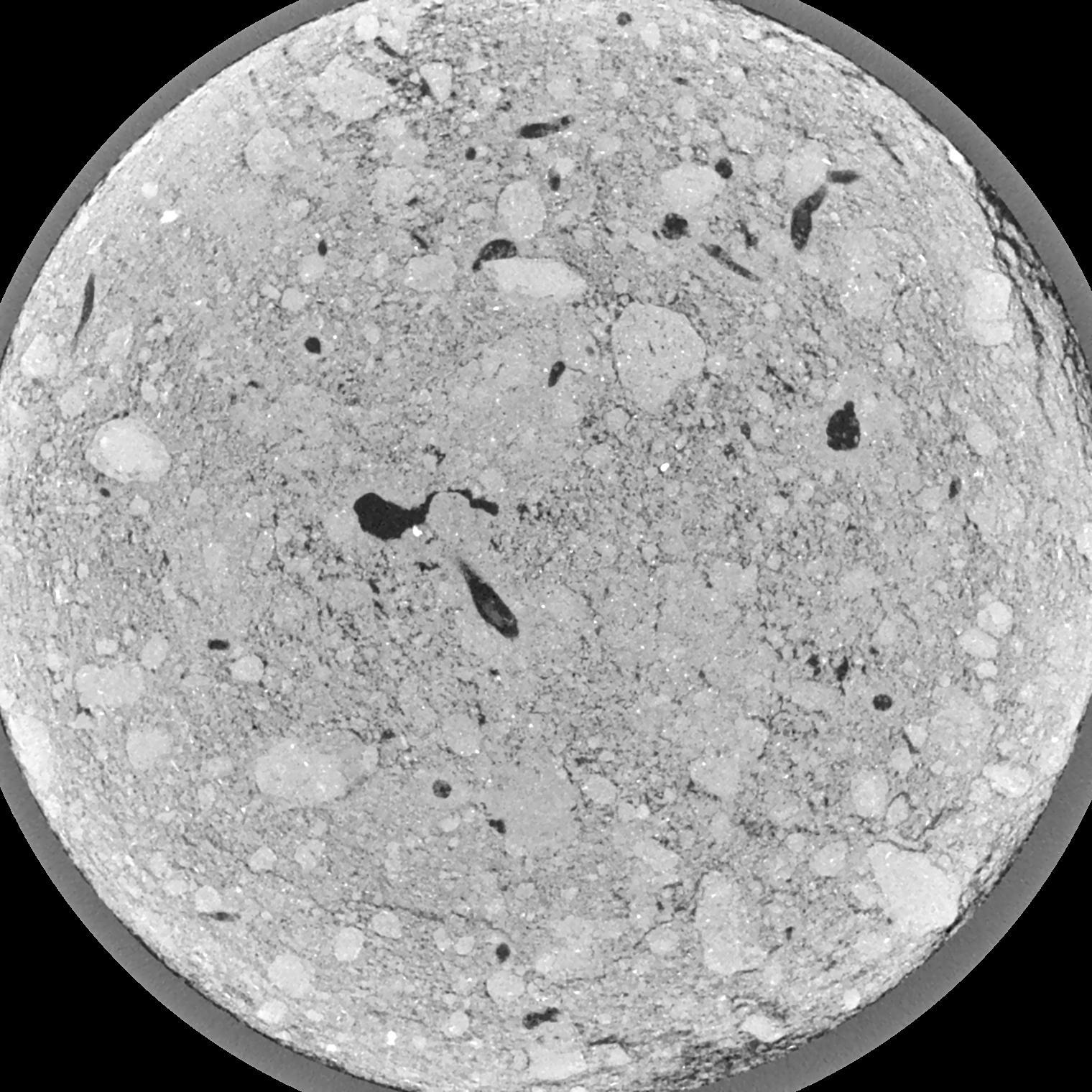
General Information
Internal Identifier ML_G424
| Soil Type | Regosol |
|---|
| Classification | WRB |
|---|
|
| Location | Garzweiler open-cast mine |
|---|
| Latitude | 51.063893 |
|---|
| Longitude | 6.502039 |
|---|
|
| Landuse | agricultural crop rotation |
|---|
| Tillage | conventional tillage |
|---|
| Crop | winter wheat, maize, winter barley, triticale, winter wheat |
|---|
|
| Sampling Depth | 49.0 |
|---|
| Sample Height | 3.0 |
|---|
| Sampling Date | March 15, 2017 |
|---|
| Voxel size | 0.02 |
|---|
| Pores white? | True |
|---|
|
| XY Plane |

|
|---|
|
| XY Plane Grey |

|
|---|
|
| Texture | silty clay loam |
|---|
| Sand | 3.5 |
|---|
| Silt | 65.1 |
|---|
| Clay | 31.4 |
|---|
|
|
Results
| Porosity | Surface | Mean Curvature | Euler | MeanPoreSize | Gamma | PoreDist |
| 0.05651 | 1.8725 | 3.765 | 14.6625 | 0.0 | 0.2758 | 0.167470884 |
| Opening size | Volume | Surface | MeanCurvature | Euler number |
|---|
| 0.04 | 0.05651 | 1.8725 | 3.765 | 14.6625 |
| 0.05 | 0.05311 | 1.6165 | 3.0575 | 14.725 |
| 0.06 | 0.04925 | 1.3645 | 2.27975 | 9.04875 |
| 0.07 | 0.04536 | 1.1505 | 1.76175 | 6.935 |
| 0.08 | 0.04371 | 1.077 | 1.6915 | 8.3075 |
| 0.09000000000000001 | 0.03445 | 0.655 | 0.77875 | 3.08625 |
| 0.1 | 0.03122 | 0.5325 | 0.574 | 2.31375 |
| 0.12000000000000001 | 0.02763 | 0.4047 | 0.38125 | 1.49 |
| 0.13999999999999999 | 0.02318 | 0.2649 | 0.1703 | 0.517925 |
| 0.16 | 0.02137 | 0.2184 | 0.11395 | 0.2849375 |
| 0.18 | 0.01946 | 0.17825 | 0.0737 | 0.1436125 |
| 0.19999999999999998 | 0.01861 | 0.1632 | 0.062825 | 0.1026325 |
| 0.22 | 0.01718 | 0.1427 | 0.05065 | 0.08161125 |
| 0.24 | 0.01633 | 0.13065 | 0.0446 | 0.050345 |
| 0.26 | 0.01512 | 0.11655 | 0.038775 | 0.04363125 |
| 0.28 | 0.01447 | 0.1085 | 0.03545 | 0.02614375 |
| 0.30000000000000004 | 0.01313 | 0.09455 | 0.030625 | 0.02667375 |
| 0.4 | 0.008835 | 0.0529 | 0.01584175 | 0.0190775 |
| 0.5 | 0.005883 | 0.02807 | 0.00656075 | 0.007065875 |
| 0.6 | 0.004394 | 0.01775 | 0.0033315 | 0.00211975 |
| 0.7000000000000001 | 0.003424 | 0.01267 | 0.00232115 | 0.00264975 |
| 0.9 | 0.002024 | 0.00576 | 0.000738375 | 0.0003533 |
| 1.1 | 0.001541 | 0.003994 | 0.000427475 | 0.000117876 |
| 1.3 | 0.001167 | 0.0030705 | 0.000378025 | 0.0003533 |
| 1.5 | 0.0008169 | 0.0022545 | 0.0003109 | 0.00017665 |
| 1.7 | 0.0003114 | 0.0009 | 0.000134252 | 0.00005893 |
Reference: An open Soil Structure Library based on X-ray CT data


