General Information
Internal Identifier ML_H462
| Soil Type | Regosol |
|---|
| Classification | WRB |
|---|
|
| Location | Garzweiler open-cast mine |
|---|
| Latitude | 51.063893 |
|---|
| Longitude | 6.502039 |
|---|
|
| Landuse | agricultural crop rotation |
|---|
| Tillage | conventional tillage |
|---|
| Crop | winter wheat, maize, winter barley, triticale, winter wheat |
|---|
|
| Sampling Depth | 15.0 |
|---|
| Sample Height | 3.0 |
|---|
| Sampling Date | Nov. 21, 2016 |
|---|
| Voxel size | 0.02 |
|---|
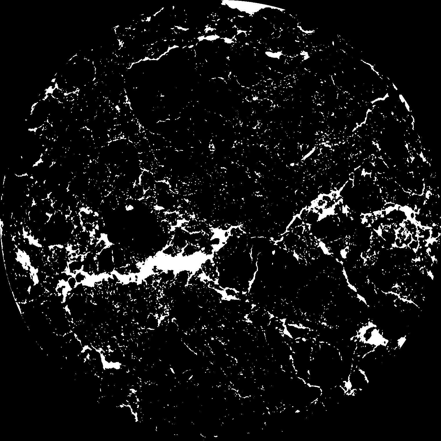
| Pores white? | True |
|---|
|
| XY Plane |

|
|---|
|
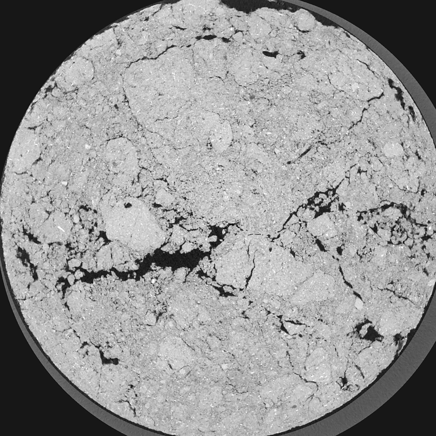
| XY Plane Grey |

|
|---|
|
| Texture | silty clay loam |
|---|
| Sand | 3.5 |
|---|
| Silt | 65.1 |
|---|
| Clay | 31.4 |
|---|
|
|
Results
| Porosity | Surface | Mean Curvature | Euler | MeanPoreSize | Gamma | PoreDist |
| 0.08069 | 2.0765 | 3.8575 | 21.4625 | 0.0 | 0.5807 | 0.141601838 |
| Opening size | Volume | Surface | MeanCurvature | Euler number |
|---|
| 0.04 | 0.08069 | 2.0765 | 3.8575 | 21.4625 |
| 0.05 | 0.07619 | 1.7045 | 2.585 | 12.2875 |
| 0.06 | 0.07185 | 1.424 | 1.72775 | 4.86625 |
| 0.07 | 0.06839 | 1.242 | 1.3285 | 3.42875 |
| 0.08 | 0.06684 | 1.1755 | 1.2775 | 4.62375 |
| 0.09000000000000001 | 0.05859 | 0.8355 | 0.65775 | 1.3375 |
| 0.1 | 0.05559 | 0.7355 | 0.53125 | 1.057125 |
| 0.12000000000000001 | 0.05184 | 0.618 | 0.40425 | 0.8110375 |
| 0.13999999999999999 | 0.04575 | 0.4594 | 0.24305 | 0.3680125 |
| 0.16 | 0.04245 | 0.38765 | 0.1861 | 0.2446375 |
| 0.18 | 0.038 | 0.3037 | 0.126175 | 0.1662125 |
| 0.19999999999999998 | 0.03594 | 0.2682 | 0.10435 | 0.11851875 |
| 0.22 | 0.03241 | 0.216 | 0.075525 | 0.10396625 |
| 0.24 | 0.03065 | 0.1902 | 0.062425 | 0.0653225 |
| 0.26 | 0.02835 | 0.1614 | 0.049075 | 0.05626875 |
| 0.28 | 0.02732 | 0.148 | 0.042725 | 0.03864375 |
| 0.30000000000000004 | 0.02542 | 0.1271 | 0.0339 | 0.032015 |
| 0.4 | 0.02041 | 0.0791 | 0.016169 | 0.0164925 |
| 0.5 | 0.01724 | 0.0553 | 0.008741 | 0.007114375 |
| 0.6 | 0.01499 | 0.04139 | 0.00521925 | 0.00404225 |
| 0.7000000000000001 | 0.01339 | 0.03348 | 0.0036735 | 0.002587 |
| 0.9 | 0.01096 | 0.023415 | 0.001953225 | 0.00080845 |
| 1.1 | 0.009398 | 0.019015 | 0.0015587 | 0.000646763 |
| 1.3 | 0.007918 | 0.015465 | 0.0013582 | 0.000485075 |
| 1.5 | 0.00633 | 0.01139 | 0.000886075 | 0.000323375 |
| 1.7 | 0.005383 | 0.009635 | 0.00075025 | 0.000323375 |
| 1.9 | 0.0045 | 0.00798 | 0.000624125 | 0.000161687 |
| 2.1 | 0.003629 | 0.006945 | 0.00061765 | 0.000134863 |
| 2.3 | 0.001727 | 0.003155 | 0.00029105 | 0.000080926 |
| 2.5 | 0.0009455 | 0.0018065 | 0.00017786 | 0.00005394 |
Reference: An open Soil Structure Library based on X-ray CT data


