General Information
Internal Identifier ML_G471
| Soil Type | Regosol |
|---|
| Classification | WRB |
|---|
|
| Location | Garzweiler open-cast mine |
|---|
| Latitude | 51.063893 |
|---|
| Longitude | 6.502039 |
|---|
|
| Landuse | agricultural crop rotation |
|---|
| Tillage | conventional tillage |
|---|
| Crop | winter wheat, maize, winter barley, triticale, winter wheat |
|---|
|
| Sampling Depth | 9.0 |
|---|
| Sample Height | 3.0 |
|---|
| Sampling Date | Nov. 21, 2016 |
|---|
| Voxel size | 0.02 |
|---|
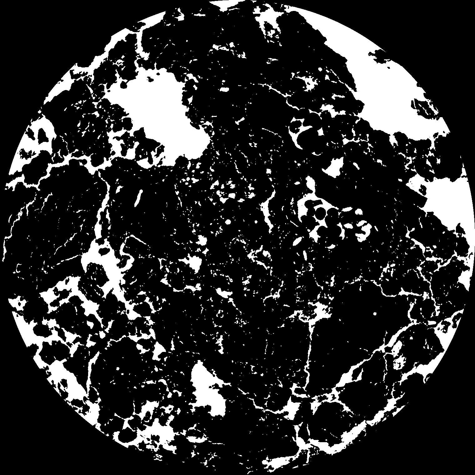
| Pores white? | True |
|---|
|
| XY Plane |

|
|---|
|
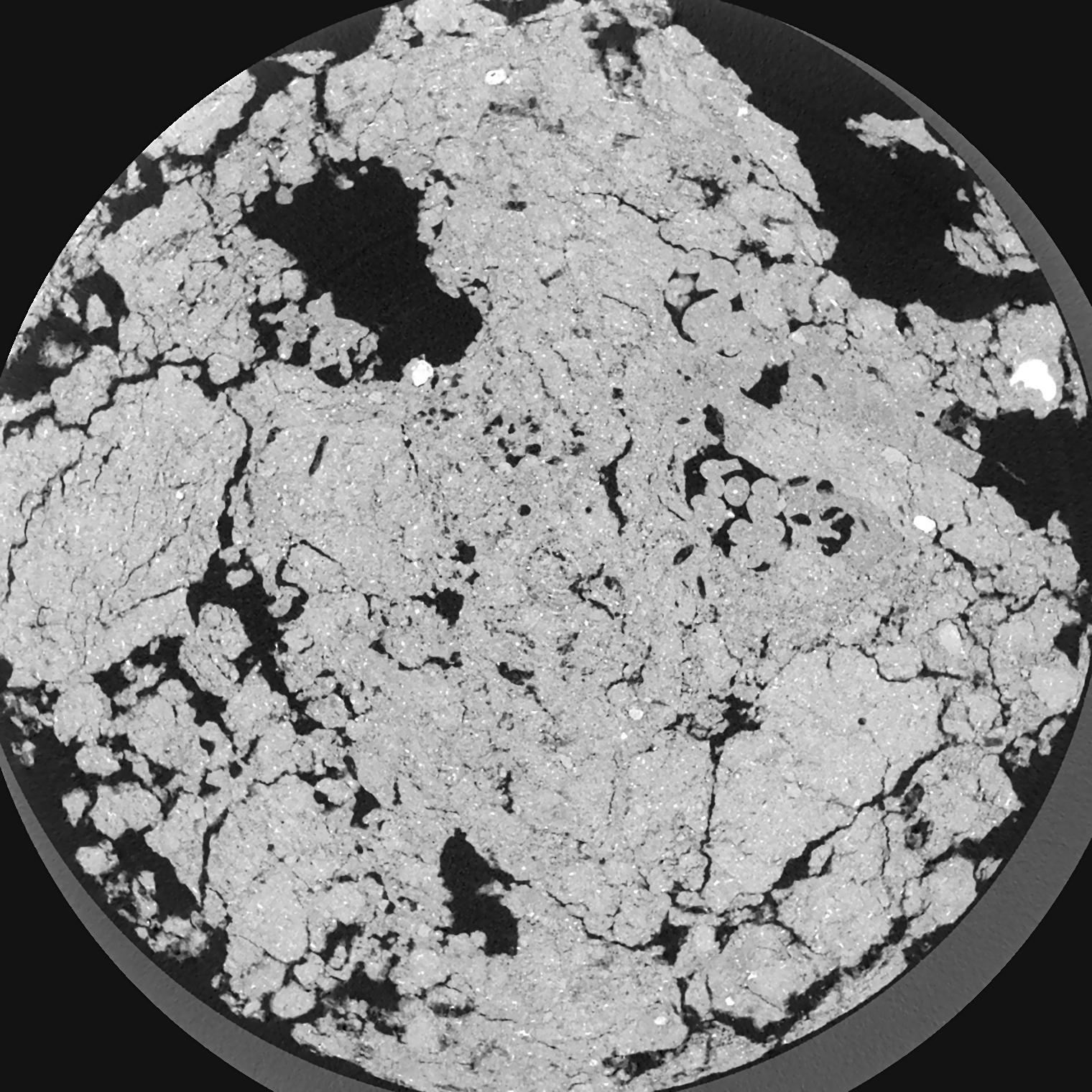
| XY Plane Grey |

|
|---|
|
| Texture | silty clay loam |
|---|
| Sand | 3.5 |
|---|
| Silt | 65.1 |
|---|
| Clay | 31.4 |
|---|
|
|
Results
| Porosity | Surface | Mean Curvature | Euler | MeanPoreSize | Gamma | PoreDist |
| 0.1294 | 1.952 | 2.189 | 7.99625 | 0.0 | 0.8731 | 0.171361271 |
| Opening size | Volume | Surface | MeanCurvature | Euler number |
|---|
| 0.04 | 0.1294 | 1.952 | 2.189 | 7.99625 |
| 0.05 | 0.1264 | 1.705 | 1.485 | 4.66375 |
| 0.06 | 0.1235 | 1.5325 | 1.0645 | 1.47375 |
| 0.07 | 0.1212 | 1.4215 | 0.868 | 1.0504875 |
| 0.08 | 0.1202 | 1.3775 | 0.84725 | 1.8275 |
| 0.09000000000000001 | 0.114 | 1.1535 | 0.53725 | 0.36855 |
| 0.1 | 0.1115 | 1.079 | 0.4675 | 0.3007125 |
| 0.12000000000000001 | 0.1082 | 0.983 | 0.3935 | 0.288875 |
| 0.13999999999999999 | 0.1018 | 0.8385 | 0.29525 | 0.15135 |
| 0.16 | 0.09784 | 0.761 | 0.2535 | 0.1220175 |
| 0.18 | 0.09174 | 0.658 | 0.20135 | 0.1446875 |
| 0.19999999999999998 | 0.08859 | 0.6085 | 0.178575 | 0.09601375 |
| 0.22 | 0.08273 | 0.5305 | 0.148375 | 0.1431875 |
| 0.24 | 0.07953 | 0.48665 | 0.129425 | 0.081845 |
| 0.26 | 0.075 | 0.4345 | 0.1101 | 0.08868 |
| 0.28 | 0.07291 | 0.40925 | 0.1009 | 0.05650875 |
| 0.30000000000000004 | 0.06869 | 0.3667 | 0.08625 | 0.05700875 |
| 0.4 | 0.0557 | 0.25205 | 0.0524 | 0.04134 |
| 0.5 | 0.0456 | 0.1791 | 0.032275 | 0.02317 |
| 0.6 | 0.03836 | 0.13615 | 0.02251325 | 0.01316875 |
| 0.7000000000000001 | 0.03194 | 0.10265 | 0.01541225 | 0.011168375 |
| 0.9 | 0.02315 | 0.06375 | 0.00820125 | 0.004500625 |
| 1.1 | 0.01744 | 0.0433 | 0.0050175 | 0.002667 |
| 1.3 | 0.01314 | 0.030125 | 0.0032105 | 0.0013335 |
| 1.5 | 0.01004 | 0.02197 | 0.002187 | 0.000666762 |
| 1.7 | 0.007038 | 0.01532 | 0.0015669 | 0.000333387 |
| 1.9 | 0.004069 | 0.00942 | 0.0010835 | 0.000333387 |
| 2.1 | 0.001944 | 0.0045945 | 0.000573425 | 0.000166687 |
| 2.3 | 0.0004954 | 0.0011605 | 0.000143355 | 0.000055609 |
Reference: An open Soil Structure Library based on X-ray CT data


