General Information
Internal Identifier ML_G489
| Soil Type | Regosol |
|---|
| Classification | WRB |
|---|
|
| Location | Garzweiler open-cast mine |
|---|
| Latitude | 51.063893 |
|---|
| Longitude | 6.502039 |
|---|
|
| Landuse | agricultural crop rotation |
|---|
| Tillage | conventional tillage |
|---|
| Crop | winter wheat, maize, winter barley, triticale, winter wheat |
|---|
|
| Sampling Depth | 49.0 |
|---|
| Sample Height | 3.0 |
|---|
| Sampling Date | Nov. 21, 2016 |
|---|
| Voxel size | 0.02 |
|---|
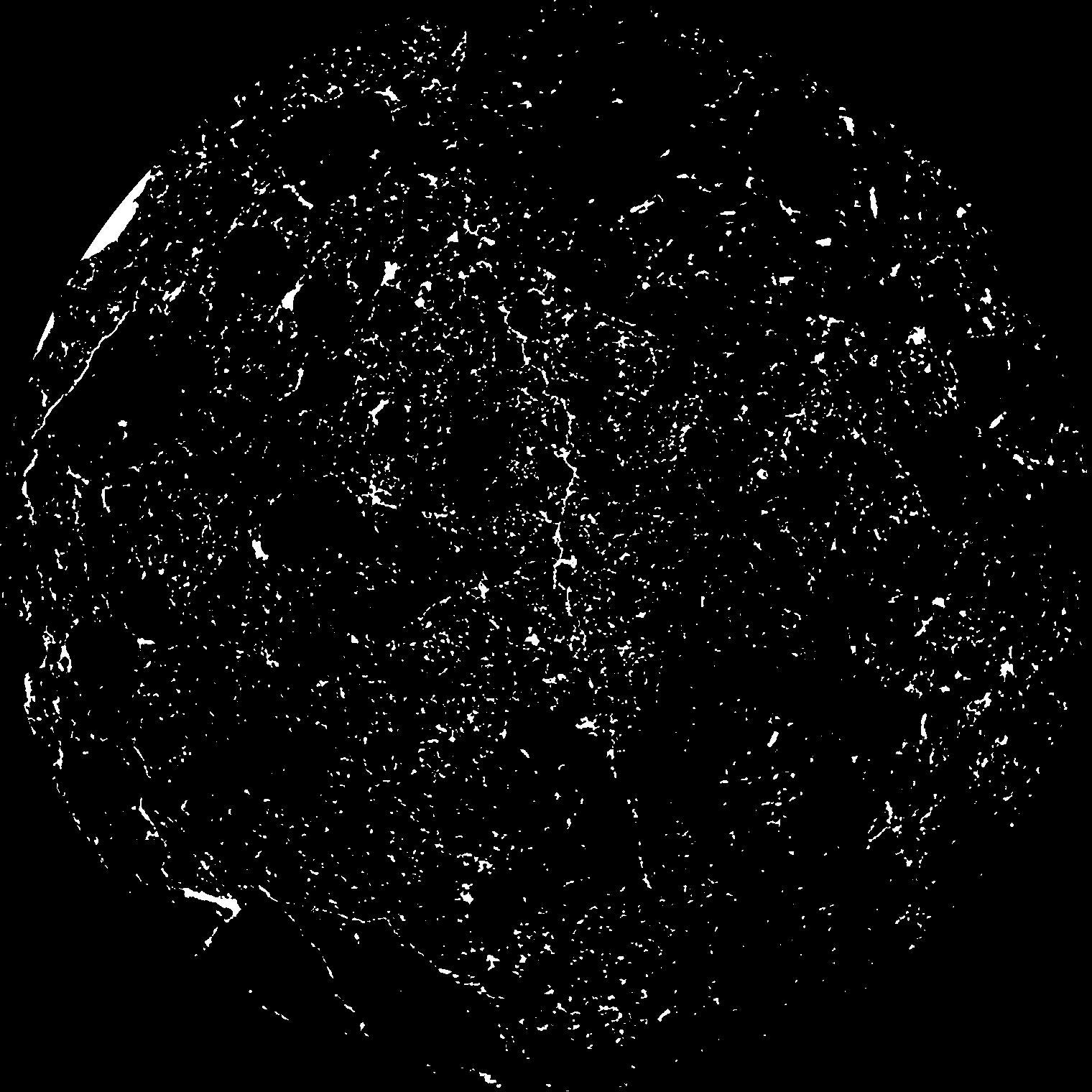
| Pores white? | True |
|---|
|
| XY Plane |

|
|---|
|
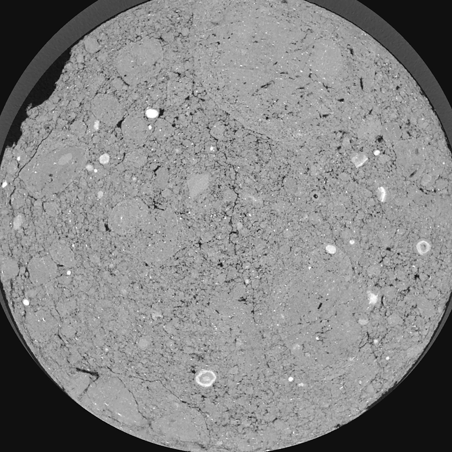
| XY Plane Grey |

|
|---|
|
| Texture | silty clay loam |
|---|
| Sand | 3.5 |
|---|
| Silt | 65.1 |
|---|
| Clay | 31.4 |
|---|
|
|
Results
| Porosity | Surface | Mean Curvature | Euler | MeanPoreSize | Gamma | PoreDist |
| 0.04013 | 1.938 | 4.7925 | 27.0375 | 0.0 | 0.02822 | 0.135736045 |
| Opening size | Volume | Surface | MeanCurvature | Euler number |
|---|
| 0.04 | 0.04013 | 1.938 | 4.7925 | 27.0375 |
| 0.05 | 0.03477 | 1.5105 | 3.3375 | 19.65 |
| 0.06 | 0.02915 | 1.1385 | 2.15325 | 9.3325 |
| 0.07 | 0.02472 | 0.8935 | 1.5605 | 6.67 |
| 0.08 | 0.02291 | 0.813 | 1.479 | 7.92625 |
| 0.09000000000000001 | 0.01411 | 0.40705 | 0.5815 | 2.4175 |
| 0.1 | 0.01155 | 0.309 | 0.4145 | 1.6925 |
| 0.12000000000000001 | 0.008826 | 0.21165 | 0.26575 | 1.0560625 |
| 0.13999999999999999 | 0.005477 | 0.1056 | 0.10555 | 0.3418375 |
| 0.16 | 0.004208 | 0.072 | 0.063875 | 0.1860875 |
| 0.18 | 0.002916 | 0.04178 | 0.0298 | 0.07463875 |
| 0.19999999999999998 | 0.002494 | 0.033185 | 0.0216835 | 0.04551125 |
| 0.22 | 0.001897 | 0.022515 | 0.012731 | 0.0242725 |
| 0.24 | 0.001652 | 0.0185 | 0.0098385 | 0.01638375 |
| 0.26 | 0.00133 | 0.013795 | 0.006679 | 0.010922625 |
| 0.28 | 0.001216 | 0.012165 | 0.00571625 | 0.007888625 |
| 0.30000000000000004 | 0.001009 | 0.009565 | 0.004183 | 0.00505675 |
| 0.4 | 0.0004532 | 0.003549 | 0.001314775 | 0.001618125 |
| 0.5 | 0.000204 | 0.001537 | 0.0005866 | 0.001011362 |
| 0.6 | 0.00005791 | 0.000333265 | 0.000089 | 0.000067477 |
| 0.7000000000000001 | 0.00004159 | 0.000256155 | 0.000080907 | 0.000067477 |
Reference: An open Soil Structure Library based on X-ray CT data


