General Information
Internal Identifier ML_H515
| Soil Type | Regosol |
|---|
| Classification | WRB |
|---|
|
| Location | Garzweiler open-cast mine |
|---|
| Latitude | 51.063893 |
|---|
| Longitude | 6.502039 |
|---|
|
| Landuse | agricultural crop rotation |
|---|
| Tillage | conventional tillage |
|---|
| Crop | winter wheat, maize, winter barley, triticale, winter wheat |
|---|
|
| Sampling Depth | 55.0 |
|---|
| Sample Height | 3.0 |
|---|
| Sampling Date | Nov. 21, 2016 |
|---|
| Voxel size | 0.02 |
|---|
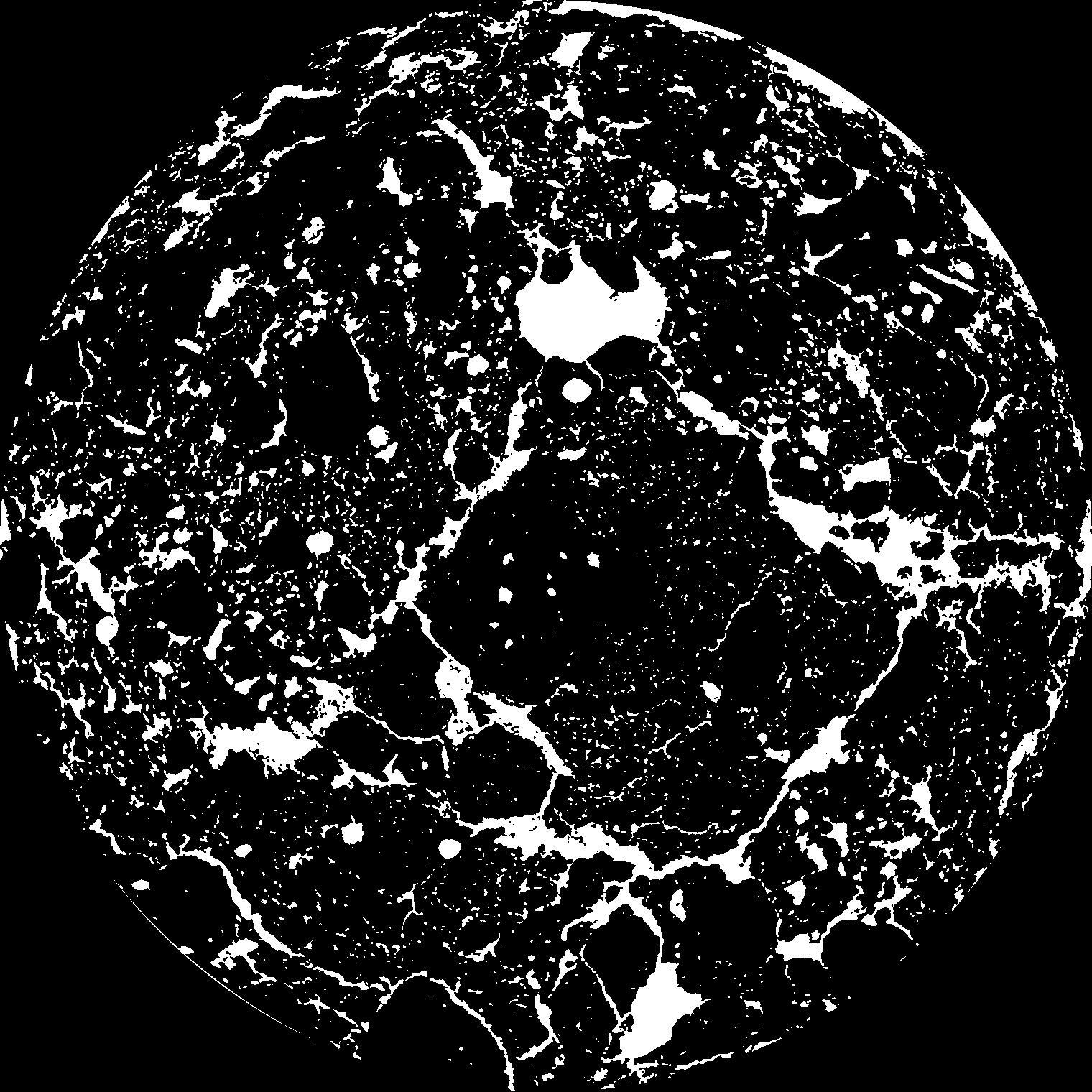
| Pores white? | True |
|---|
|
| XY Plane |

|
|---|
|
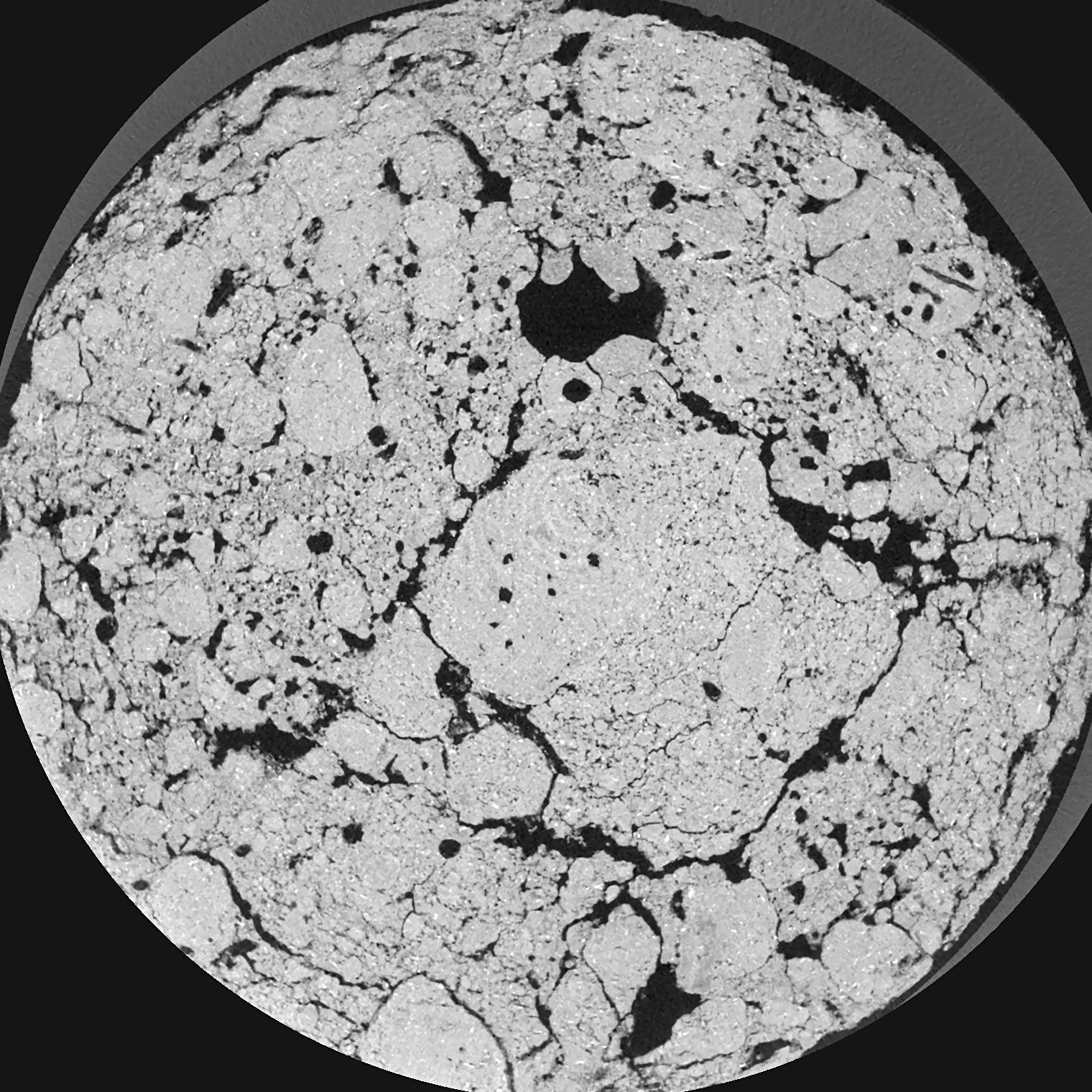
| XY Plane Grey |

|
|---|
|
| Texture | silty clay loam |
|---|
| Sand | 3.5 |
|---|
| Silt | 65.1 |
|---|
| Clay | 31.4 |
|---|
|
|
Results
| Porosity | Surface | Mean Curvature | Euler | MeanPoreSize | Gamma | PoreDist |
| 0.1629 | 3.74 | 5.035 | 15.5 | 0.0 | 0.8157 | 0.099057204 |
| Opening size | Volume | Surface | MeanCurvature | Euler number |
|---|
| 0.04 | 0.1629 | 3.74 | 5.035 | 15.5 |
| 0.05 | 0.1573 | 3.2735 | 3.6725 | 10.34625 |
| 0.06 | 0.1516 | 2.926 | 2.7525 | 3.8075 |
| 0.07 | 0.1468 | 2.6865 | 2.30125 | 3.215 |
| 0.08 | 0.1444 | 2.587 | 2.2465 | 5.3325 |
| 0.09000000000000001 | 0.1311 | 2.0755 | 1.457 | 2.02125 |
| 0.1 | 0.1254 | 1.897 | 1.26675 | 1.9125 |
| 0.12000000000000001 | 0.1175 | 1.658 | 1.04175 | 1.73 |
| 0.13999999999999999 | 0.1033 | 1.3025 | 0.721 | 1.0447875 |
| 0.16 | 0.09461 | 1.1165 | 0.58125 | 0.7721 |
| 0.18 | 0.08244 | 0.888 | 0.42 | 0.5920125 |
| 0.19999999999999998 | 0.07656 | 0.786 | 0.35625 | 0.42785 |
| 0.22 | 0.0663 | 0.632 | 0.2695 | 0.37935 |
| 0.24 | 0.06097 | 0.5525 | 0.225725 | 0.2484375 |
| 0.26 | 0.05389 | 0.46185 | 0.181375 | 0.2116375 |
| 0.28 | 0.05058 | 0.4184 | 0.16105 | 0.164325 |
| 0.30000000000000004 | 0.04418 | 0.34435 | 0.126025 | 0.135325 |
| 0.4 | 0.02697 | 0.1686 | 0.05155 | 0.050705 |
| 0.5 | 0.01702 | 0.0879 | 0.02322575 | 0.02272375 |
| 0.6 | 0.01157 | 0.04954 | 0.01070725 | 0.008139875 |
| 0.7000000000000001 | 0.008709 | 0.03298 | 0.006288 | 0.005426625 |
| 0.9 | 0.005361 | 0.016325 | 0.002380925 | 0.001187062 |
| 1.1 | 0.003905 | 0.010875 | 0.001465175 | 0.000678325 |
| 1.3 | 0.002831 | 0.007715 | 0.00106835 | 0.000508737 |
| 1.5 | 0.001634 | 0.0038375 | 0.0004443 | 0.00014145 |
| 1.7 | 0.001185 | 0.0026895 | 0.000295075 | 0.00014145 |
| 1.9 | 0.0008458 | 0.0021035 | 0.000250975 | 0.000056573 |
| 2.1 | 0.0003425 | 0.0009115 | 0.000128882 | 0.000056573 |
Reference: An open Soil Structure Library based on X-ray CT data


