General Information
Internal Identifier ML_K029
| Soil Type | Regosol |
|---|
| Classification | WRB |
|---|
|
| Location | Garzweiler open-cast mine |
|---|
| Latitude | 51.063893 |
|---|
| Longitude | 6.502039 |
|---|
|
| Landuse | agricultural crop rotation |
|---|
| Tillage | reduced tillage |
|---|
| Crop | lucerne |
|---|
|
| Sampling Depth | 9.0 |
|---|
| Sample Height | 0.7 |
|---|
| Sampling Date | May 15, 2017 |
|---|
| Voxel size | 0.005 |
|---|
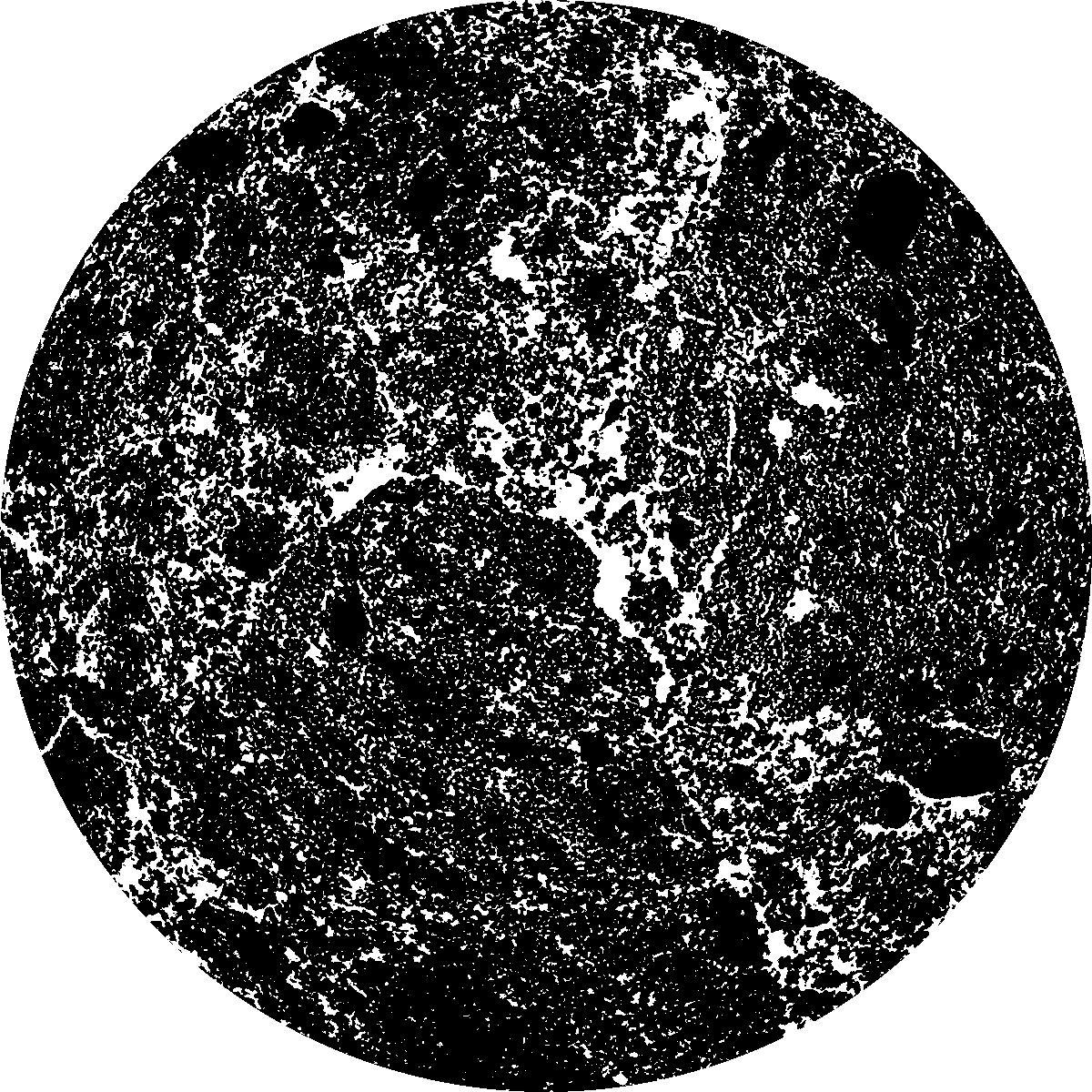
| Pores white? | True |
|---|
|
| XY Plane |

|
|---|
|
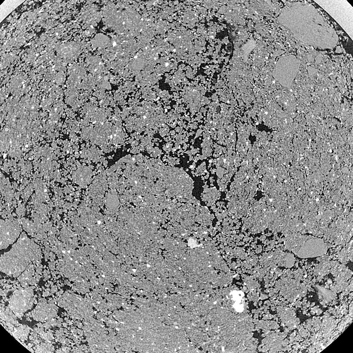
| XY Plane Grey |

|
|---|
|
| Texture | silty clay loam |
|---|
| Sand | 3.5 |
|---|
| Silt | 65.1 |
|---|
| Clay | 31.4 |
|---|
|
|
Results
| Porosity | Surface | Mean Curvature | Euler | MeanPoreSize | Gamma | PoreDist |
| 0.2179 | 35.74 | 285.96 | 7974.4 | 0.0 | 0.1646 | 0.010538096 |
| Opening size | Volume | Surface | MeanCurvature | Euler number |
|---|
| 0.01 | 0.2167 | 35.5 | 284.08 | 7908.0 |
| 0.0125 | 0.1907 | 25.74 | 146.24 | 562.0 |
| 0.015 | 0.1706 | 20.9 | 96.52 | -540.8 |
| 0.0175 | 0.1549 | 17.954 | 80.16 | -91.28 |
| 0.02 | 0.1464 | 16.558 | 78.8 | 562.64 |
| 0.022500000000000003 | 0.1037 | 9.862 | 40.68 | 340.0 |
| 0.025 | 0.08829 | 7.776 | 30.416 | 289.84 |
| 0.030000000000000002 | 0.07451 | 5.99 | 22.432 | 240.0 |
| 0.034999999999999996 | 0.0524 | 3.488 | 10.692 | 95.68 |
| 0.04 | 0.04309 | 2.618 | 7.408 | 60.0816 |
| 0.045 | 0.0327 | 1.7564 | 4.416 | 34.0896 |
| 0.049999999999999996 | 0.02856 | 1.4518 | 3.5092 | 25.516 |
| 0.055 | 0.02184 | 0.998 | 2.1976 | 15.7 |
| 0.06 | 0.01906 | 0.8174 | 1.7 | 11.0048 |
| 0.065 | 0.01569 | 0.627 | 1.2292 | 7.85016 |
| 0.07 | 0.01431 | 0.5498 | 1.0464 | 6.26776 |
| 0.07500000000000001 | 0.01187 | 0.426 | 0.7608 | 4.44744 |
| 0.1 | 0.006349 | 0.18208 | 0.259968 | 1.24112 |
| 0.125 | 0.003636 | 0.0882 | 0.109272 | 0.45508 |
| 0.15 | 0.00224 | 0.0467 | 0.048768 | 0.155144 |
| 0.17500000000000002 | 0.001532 | 0.02942 | 0.027874 | 0.082744 |
| 0.225 | 0.0006499 | 0.012316 | 0.011946 | 0.0310288 |
Reference: An open Soil Structure Library based on X-ray CT data


