General Information
Internal Identifier ML_K066
| Soil Type | Regosol |
|---|
| Classification | WRB |
|---|
|
| Location | Garzweiler open-cast mine |
|---|
| Latitude | 51.063893 |
|---|
| Longitude | 6.502039 |
|---|
|
| Landuse | agricultural crop rotation |
|---|
| Tillage | no tillage |
|---|
| Crop | lucerne |
|---|
|
| Sampling Depth | 15.0 |
|---|
| Sample Height | 0.7 |
|---|
| Sampling Date | Nov. 15, 2016 |
|---|
| Voxel size | 0.005 |
|---|
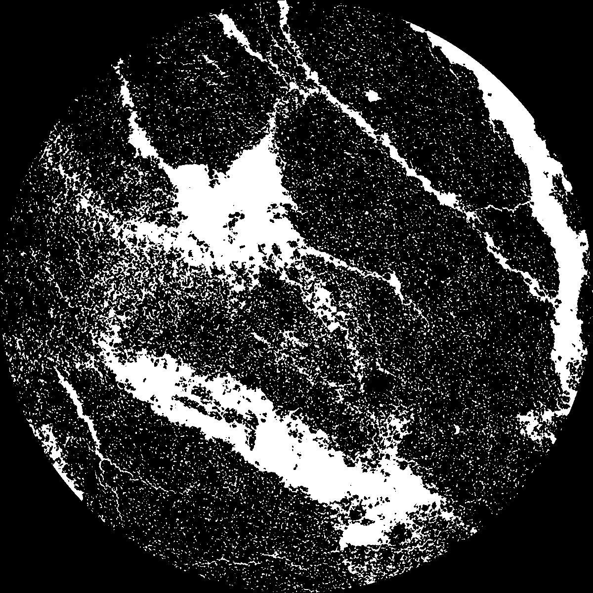
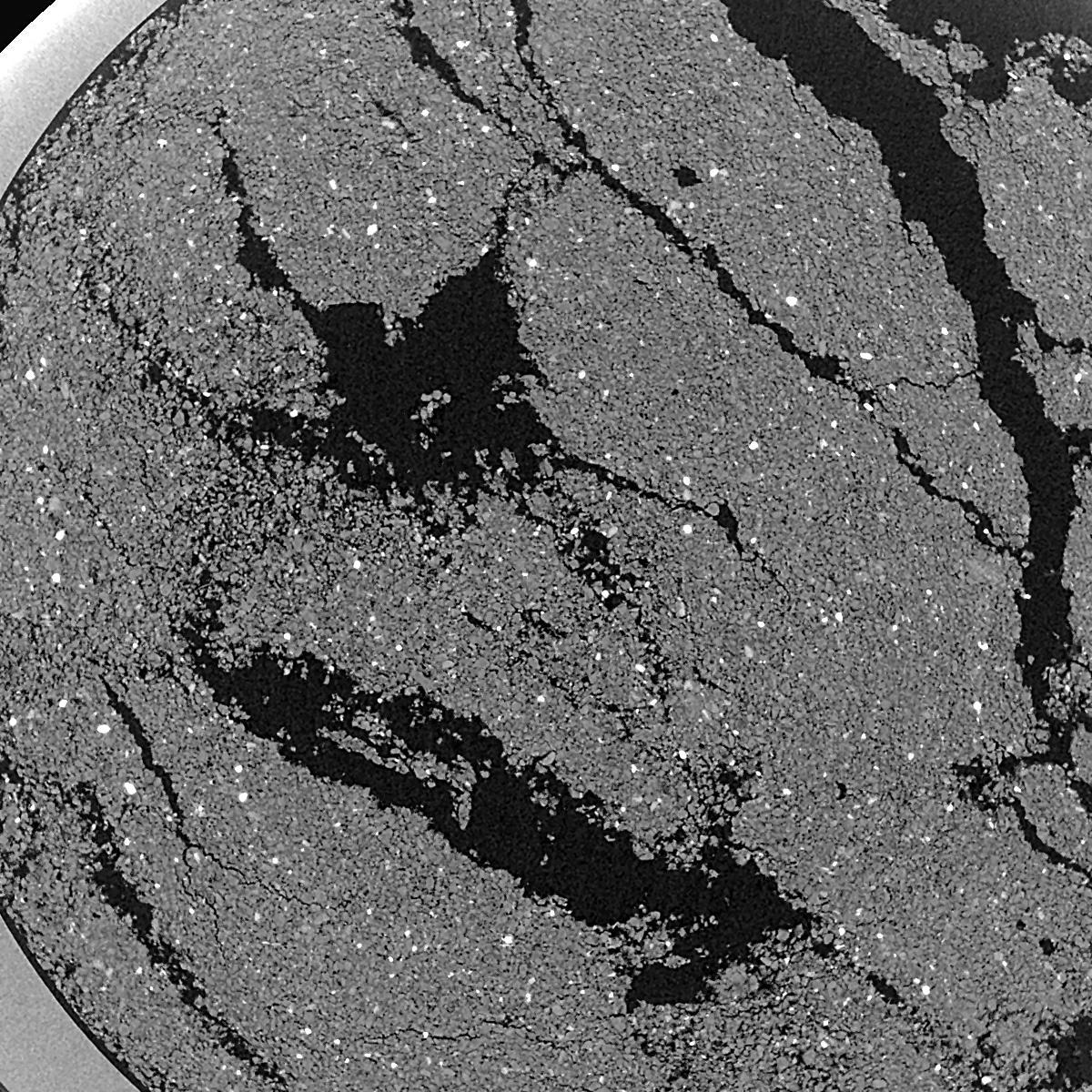
| Pores white? | True |
|---|
|
| XY Plane |

|
|---|
|
| XY Plane Grey |

|
|---|
|
| Texture | silty clay loam |
|---|
| Sand | 3.5 |
|---|
| Silt | 65.1 |
|---|
| Clay | 31.4 |
|---|
|
|
Results
| Porosity | Surface | Mean Curvature | Euler | MeanPoreSize | Gamma | PoreDist |
| 0.1871 | 25.3 | 319.36 | 16072.0 | 0.0 | 0.6176 | 0.010911001 |
| Opening size | Volume | Surface | MeanCurvature | Euler number |
|---|
| 0.01 | 0.1871 | 25.3 | 319.36 | 16072.0 |
| 0.0125 | 0.1549 | 13.076 | 106.44 | 3760.8 |
| 0.015 | 0.1349 | 7.388 | 24.048 | 51.5696 |
| 0.0175 | 0.1284 | 6.036 | 13.284 | -36.6528 |
| 0.02 | 0.1262 | 5.668 | 12.916 | 117.6 |
| 0.022500000000000003 | 0.1168 | 4.268 | 5.468 | -15.1 |
| 0.025 | 0.1135 | 3.88 | 4.352 | -7.81424 |
| 0.030000000000000002 | 0.1102 | 3.514 | 3.5704 | 5.4364 |
| 0.034999999999999996 | 0.1035 | 2.92 | 2.3356 | 3.1196 |
| 0.04 | 0.09967 | 2.64 | 1.936 | 2.10344 |
| 0.045 | 0.09433 | 2.306 | 1.5268 | 5.41608 |
| 0.049999999999999996 | 0.09168 | 2.154 | 1.3528 | 2.90624 |
| 0.055 | 0.08654 | 1.9096 | 1.1544 | 4.82672 |
| 0.06 | 0.08389 | 1.7778 | 1.0116 | 2.70296 |
| 0.065 | 0.08006 | 1.6238 | 0.8924 | 2.70296 |
| 0.07 | 0.07826 | 1.5486 | 0.8296 | 1.31088 |
| 0.07500000000000001 | 0.07462 | 1.4228 | 0.7432 | 1.5852 |
| 0.1 | 0.06211 | 1.0526 | 0.5444 | 1.22952 |
| 0.125 | 0.0511 | 0.7906 | 0.387968 | 0.76212 |
| 0.15 | 0.0418 | 0.6148 | 0.311096 | 0.304848 |
| 0.17500000000000002 | 0.03226 | 0.4552 | 0.238696 | 0.213392 |
| 0.225 | 0.01744 | 0.2354 | 0.139468 | 0.203232 |
| 0.275 | 0.008049 | 0.10648 | 0.06742 | 0.101616 |
| 0.325 | 0.002929 | 0.03698 | 0.025658 | 0.050808 |
| 0.375 | 0.001198 | 0.012134 | 0.0067576 | 0.0101616 |
| 0.425 | 0.0006382 | 0.005278 | 0.00213392 | 0.00243776 |
| 0.475 | 0.0005469 | 0.004798 | 0.00203232 | 0.00243776 |
| 0.525 | 0.0003235 | 0.003166 | 0.00157504 | 0.00243776 |
Reference: An open Soil Structure Library based on X-ray CT data


