General Information
Internal Identifier ML_K095
| Soil Type | Regosol |
|---|
| Classification | WRB |
|---|
|
| Location | Garzweiler open-cast mine |
|---|
| Latitude | 51.063893 |
|---|
| Longitude | 6.502039 |
|---|
|
| Landuse | agricultural crop rotation |
|---|
| Tillage | no tillage |
|---|
| Crop | lucerne |
|---|
|
| Sampling Depth | 15.0 |
|---|
| Sample Height | 0.7 |
|---|
| Sampling Date | Nov. 15, 2016 |
|---|
| Voxel size | 0.005 |
|---|
| Pores white? | True |
|---|
|
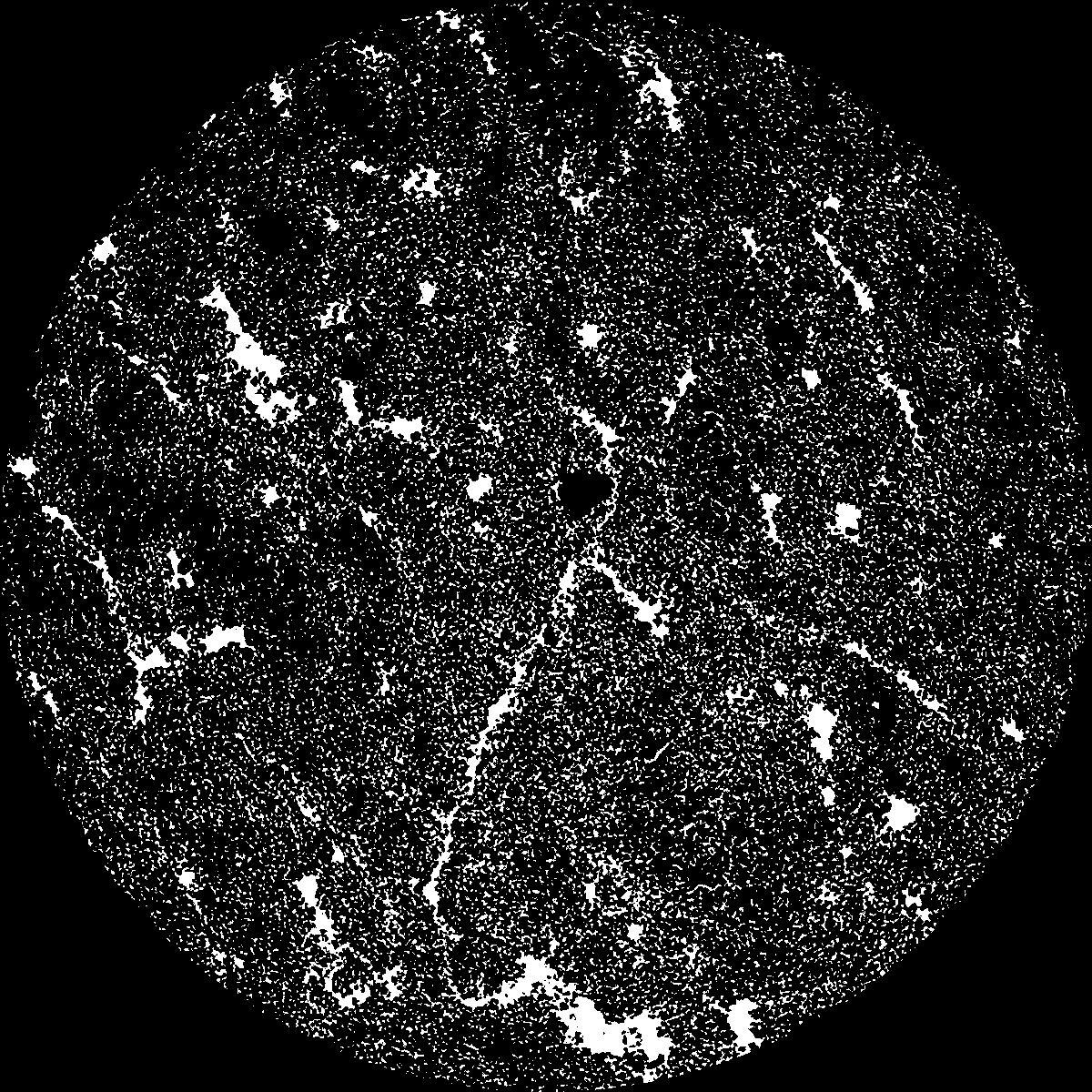
| XY Plane |

|
|---|
|
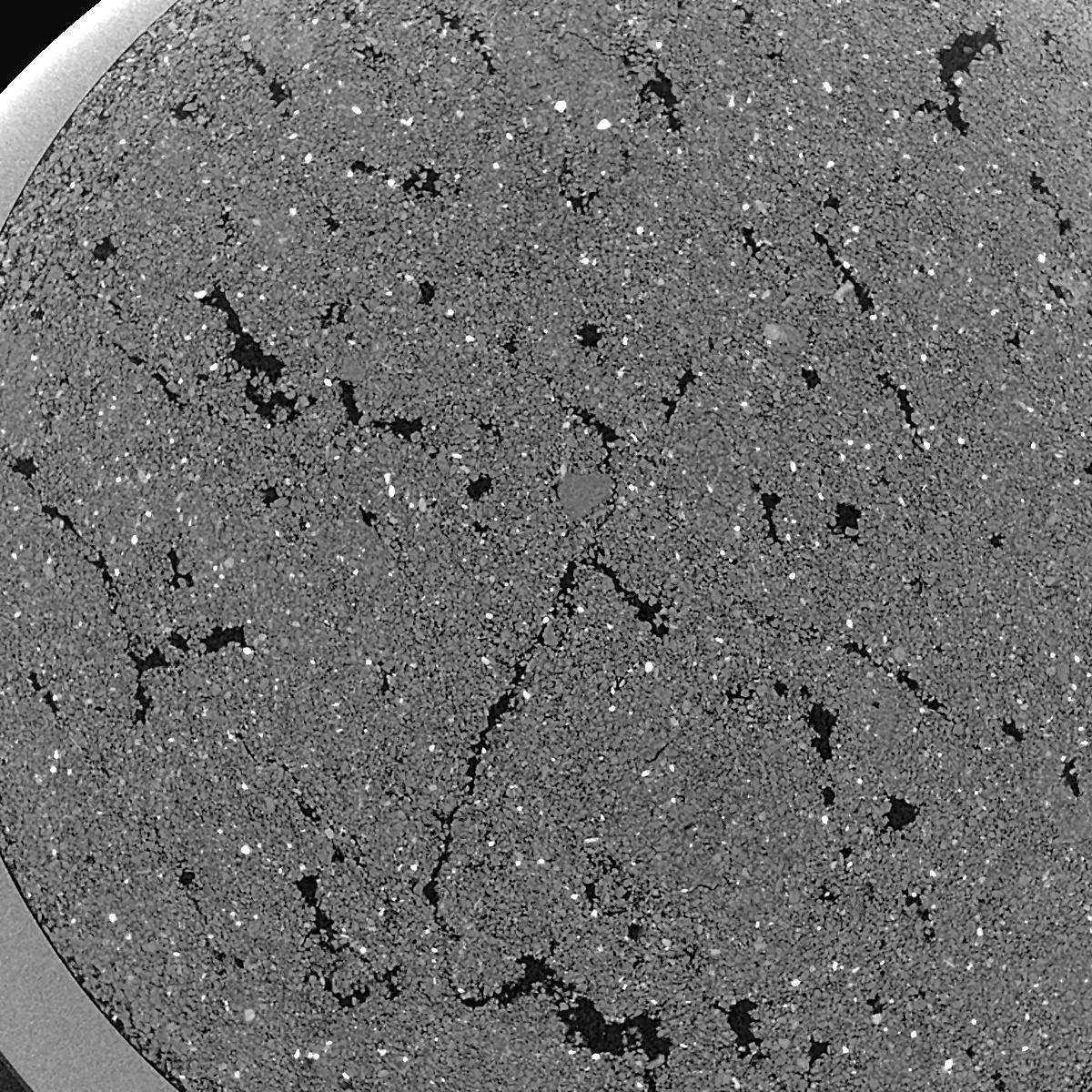
| XY Plane Grey |

|
|---|
|
| Texture | silty clay loam |
|---|
| Sand | 3.5 |
|---|
| Silt | 65.1 |
|---|
| Clay | 31.4 |
|---|
|
|
Results
| Porosity | Surface | Mean Curvature | Euler | MeanPoreSize | Gamma | PoreDist |
| 0.1738 | 41.36 | 482.4 | 10552.0 | 0.0 | 0.508 | 0.008586025 |
| Opening size | Volume | Surface | MeanCurvature | Euler number |
|---|
| 0.01 | 0.1738 | 41.36 | 482.4 | 10552.0 |
| 0.0125 | 0.1233 | 24.02 | 257.56 | 6428.8 |
| 0.015 | 0.07306 | 9.944 | 71.96 | 1275.2 |
| 0.0175 | 0.05736 | 6.25 | 33.032 | 483.2 |
| 0.02 | 0.05357 | 5.562 | 30.544 | 690.56 |
| 0.022500000000000003 | 0.04092 | 3.23 | 9.776 | 72.5048 |
| 0.025 | 0.0377 | 2.82 | 8.0 | 53.1392 |
| 0.030000000000000002 | 0.03451 | 2.438 | 6.732 | 45.1632 |
| 0.034999999999999996 | 0.02815 | 1.8214 | 4.864 | 33.3568 |
| 0.04 | 0.02436 | 1.5016 | 3.9936 | 27.8904 |
| 0.045 | 0.0192 | 1.1048 | 2.87 | 22.5256 |
| 0.049999999999999996 | 0.01671 | 0.9254 | 2.3684 | 17.8928 |
| 0.055 | 0.01242 | 0.6388 | 1.5596 | 11.9488 |
| 0.06 | 0.01045 | 0.5088 | 1.188 | 8.504 |
| 0.065 | 0.00805 | 0.3692 | 0.8236 | 5.74064 |
| 0.07 | 0.007079 | 0.313 | 0.6804 | 4.44008 |
| 0.07500000000000001 | 0.005335 | 0.2206 | 0.4528 | 2.85512 |
| 0.1 | 0.002024 | 0.06652 | 0.111308 | 0.589304 |
| 0.125 | 0.0008852 | 0.02424 | 0.0338344 | 0.142248 |
| 0.15 | 0.0004095 | 0.009604 | 0.0119892 | 0.0406416 |
| 0.17500000000000002 | 0.0001983 | 0.0037 | 0.00370856 | 0.0101608 |
| 0.225 | 0.000118 | 0.0017288 | 0.00127004 | 0.00282968 |
| 0.275 | 0.0001049 | 0.00156192 | 0.00121924 | 0.00282968 |
| 0.325 | 0.00009054 | 0.00139198 | 0.00111764 | 0.00282968 |
Reference: An open Soil Structure Library based on X-ray CT data


