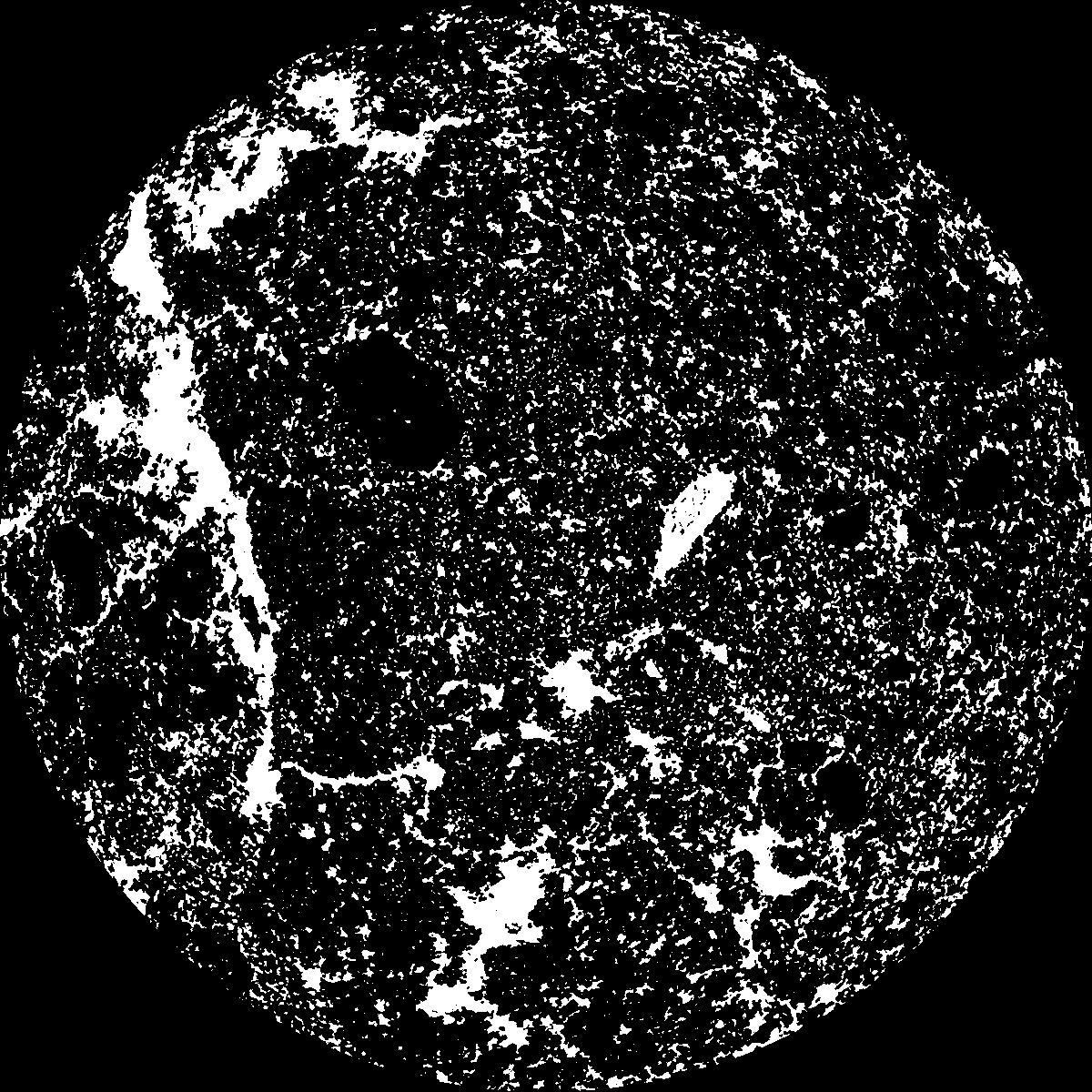
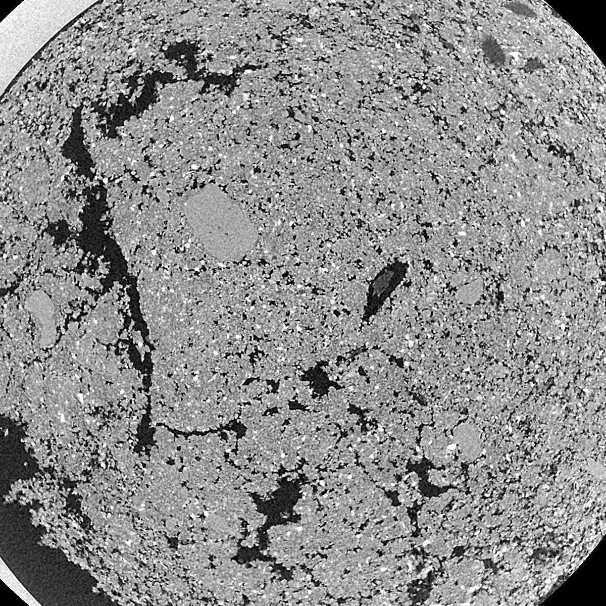
General Information
Internal Identifier ML_I115
| Soil Type | Regosol |
|---|
| Classification | WRB |
|---|
|
| Location | Garzweiler open-cast mine |
|---|
| Latitude | 51.063893 |
|---|
| Longitude | 6.502039 |
|---|
|
| Landuse | agricultural crop rotation |
|---|
| Tillage | no tillage |
|---|
| Crop | lucerne |
|---|
|
| Sampling Depth | 3.0 |
|---|
| Sample Height | 0.7 |
|---|
| Sampling Date | Nov. 15, 2016 |
|---|
| Voxel size | 0.005 |
|---|
| Pores white? | True |
|---|
|
| XY Plane |

|
|---|
|
| XY Plane Grey |

|
|---|
|
| Texture | silty clay loam |
|---|
| Sand | 3.5 |
|---|
| Silt | 65.1 |
|---|
| Clay | 31.4 |
|---|
|
|
Results
| Porosity | Surface | Mean Curvature | Euler | MeanPoreSize | Gamma | PoreDist |
| 0.1826 | 27.2 | 241.0 | 11032.0 | 0.0 | 0.711 | 0.012278047 |
| Opening size | Volume | Surface | MeanCurvature | Euler number |
|---|
| 0.01 | 0.1826 | 27.2 | 241.0 | 11032.0 |
| 0.0125 | 0.1634 | 19.706 | 117.24 | 773.44 |
| 0.015 | 0.1486 | 16.354 | 88.16 | 408.8 |
| 0.0175 | 0.1346 | 13.656 | 71.28 | 743.6 |
| 0.02 | 0.1275 | 12.434 | 68.28 | 1157.6 |
| 0.022500000000000003 | 0.09407 | 6.778 | 27.564 | 476.96 |
| 0.025 | 0.08335 | 5.246 | 18.492 | 340.08 |
| 0.030000000000000002 | 0.07434 | 4.032 | 12.16 | 248.8 |
| 0.034999999999999996 | 0.06064 | 2.496 | 4.264 | 95.2 |
| 0.04 | 0.05495 | 2.018 | 2.4972 | 54.5968 |
| 0.045 | 0.04821 | 1.5824 | 1.326 | 18.9104 |
| 0.049999999999999996 | 0.04528 | 1.4298 | 1.1172 | 8.6064 |
| 0.055 | 0.03964 | 1.19 | 1.04 | 3.3024 |
| 0.06 | 0.03694 | 1.0664 | 0.9588 | 2.61144 |
| 0.065 | 0.03309 | 0.9136 | 0.8736 | 3.17032 |
| 0.07 | 0.03136 | 0.84 | 0.7932 | 2.49968 |
| 0.07500000000000001 | 0.02798 | 0.7114 | 0.6488 | 2.19488 |
| 0.1 | 0.01879 | 0.4196 | 0.390704 | 0.589352 |
| 0.125 | 0.01245 | 0.2346 | 0.196772 | 0.467424 |
| 0.15 | 0.00909 | 0.15338 | 0.118024 | 0.254032 |
| 0.17500000000000002 | 0.006547 | 0.0998 | 0.06808 | 0.091448 |
| 0.225 | 0.00358 | 0.04728 | 0.030738 | 0.060968 |
| 0.275 | 0.001987 | 0.0243 | 0.0145308 | 0.0203224 |
| 0.325 | 0.0007819 | 0.007982 | 0.00375968 | 0.00504912 |
| 0.375 | 0.0004562 | 0.005354 | 0.0030992 | 0.00504912 |
Reference: An open Soil Structure Library based on X-ray CT data


