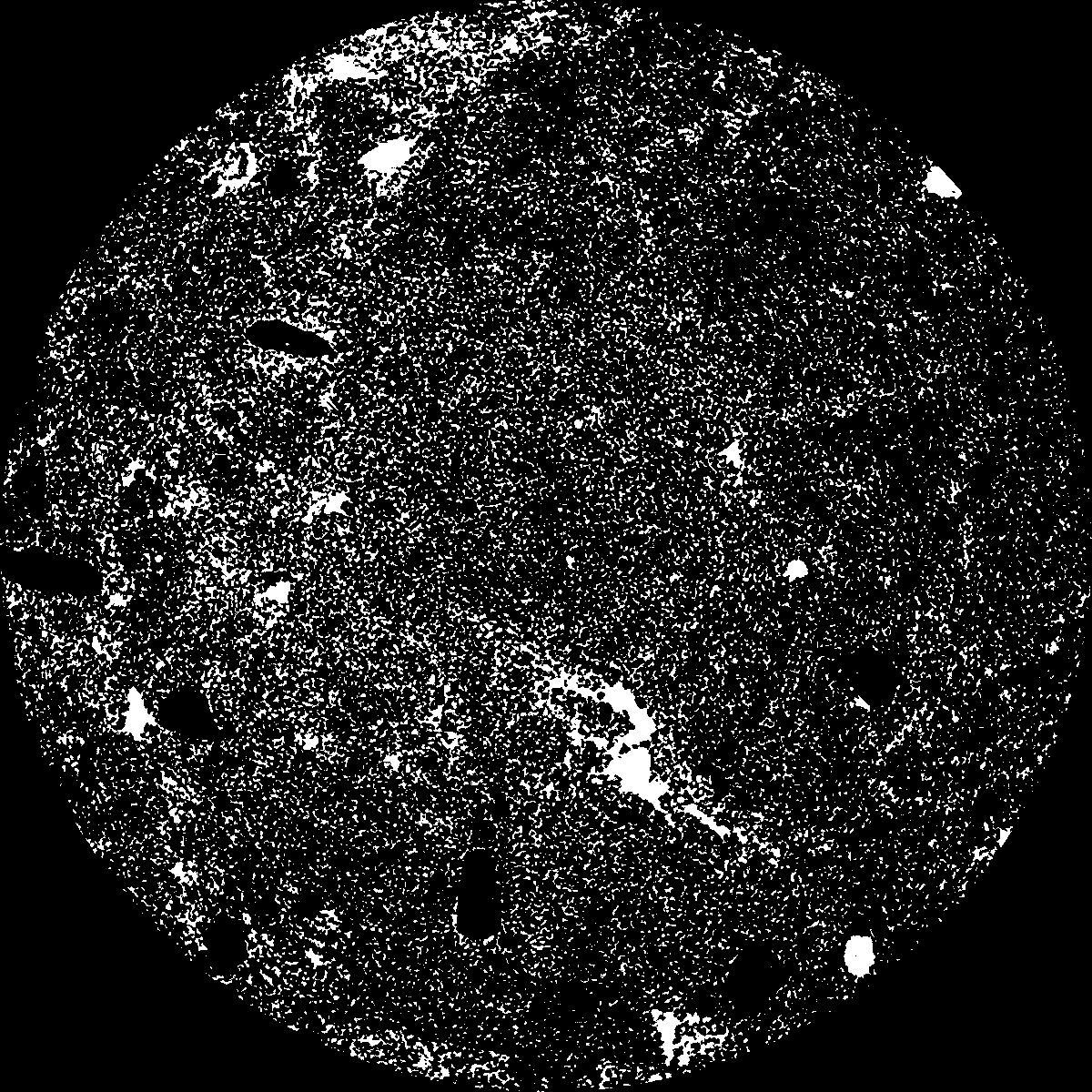
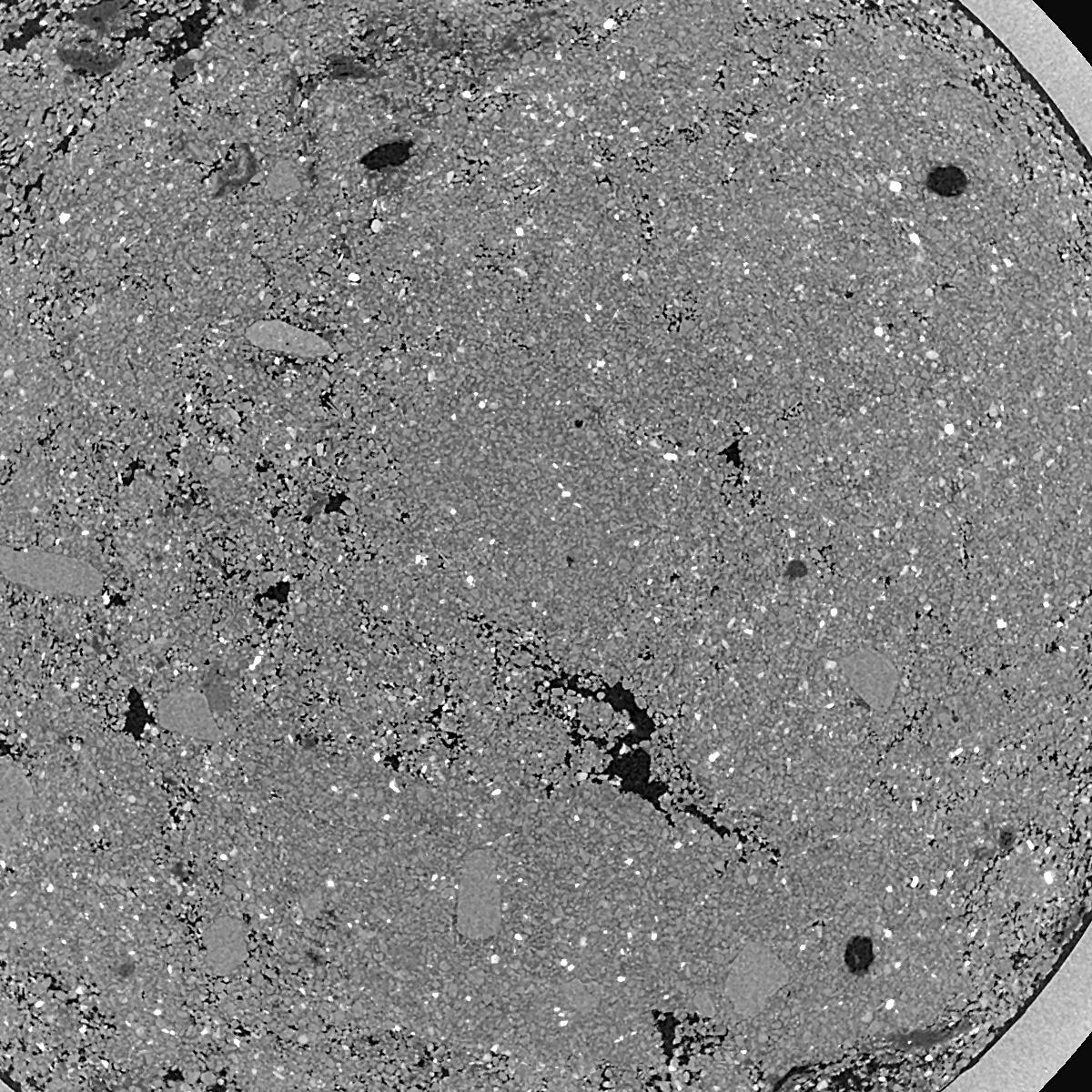
General Information
Internal Identifier ML_I242
| Soil Type | Regosol |
|---|
| Classification | WRB |
|---|
|
| Location | Garzweiler open-cast mine |
|---|
| Latitude | 51.063893 |
|---|
| Longitude | 6.502039 |
|---|
|
| Landuse | agricultural crop rotation |
|---|
| Tillage | conventional tillage |
|---|
| Crop | barley, summer wheat, winter wheat, winter wheat, lucerne |
|---|
|
| Sampling Depth | 3.0 |
|---|
| Sample Height | 0.7 |
|---|
| Sampling Date | March 15, 2017 |
|---|
| Voxel size | 0.005 |
|---|
| Pores white? | True |
|---|
|
| XY Plane |

|
|---|
|
| XY Plane Grey |

|
|---|
|
| Texture | silty clay loam |
|---|
| Sand | 3.5 |
|---|
| Silt | 65.1 |
|---|
| Clay | 31.4 |
|---|
|
|
Results
| Porosity | Surface | Mean Curvature | Euler | MeanPoreSize | Gamma | PoreDist |
| 0.1801 | 40.42 | 405.2 | 3765.6 | 0.0 | 0.6819 | 0.008998111 |
| Opening size | Volume | Surface | MeanCurvature | Euler number |
|---|
| 0.01 | 0.1801 | 40.42 | 405.2 | 3765.6 |
| 0.0125 | 0.1401 | 26.76 | 241.48 | 2381.6 |
| 0.015 | 0.09526 | 15.334 | 120.84 | 1344.0 |
| 0.0175 | 0.07038 | 9.846 | 71.96 | 1168.8 |
| 0.02 | 0.06223 | 8.36 | 66.32 | 1670.4 |
| 0.022500000000000003 | 0.03476 | 2.944 | 13.892 | 199.84 |
| 0.025 | 0.02945 | 2.158 | 8.848 | 115.28 |
| 0.030000000000000002 | 0.02559 | 1.637 | 6.072 | 81.92 |
| 0.034999999999999996 | 0.0198 | 0.9686 | 2.7032 | 30.1496 |
| 0.04 | 0.01748 | 0.7516 | 1.8356 | 18.6464 |
| 0.045 | 0.01496 | 0.5428 | 1.0708 | 9.816 |
| 0.049999999999999996 | 0.01397 | 0.4718 | 0.8556 | 7.00128 |
| 0.055 | 0.01233 | 0.37 | 0.5828 | 4.21704 |
| 0.06 | 0.0116 | 0.3268 | 0.4812 | 3.018 |
| 0.065 | 0.01058 | 0.2744 | 0.366528 | 2.02216 |
| 0.07 | 0.01016 | 0.2526 | 0.322732 | 1.46328 |
| 0.07500000000000001 | 0.009349 | 0.2156 | 0.250024 | 1.08728 |
| 0.1 | 0.007461 | 0.14214 | 0.131796 | 0.436944 |
| 0.125 | 0.006311 | 0.10818 | 0.08866 | 0.203232 |
| 0.15 | 0.004794 | 0.07028 | 0.051264 | 0.132104 |
| 0.17500000000000002 | 0.003572 | 0.04212 | 0.020628 | 0.0609696 |
| 0.225 | 0.002595 | 0.0266 | 0.0097552 | 0.00365616 |
| 0.275 | 0.001653 | 0.01588 | 0.0063508 | 0.0085304 |
| 0.325 | 0.001071 | 0.009568 | 0.0044204 | 0.00731224 |
| 0.375 | 0.000783 | 0.00619 | 0.00228636 | 0.00243776 |
| 0.425 | 0.0006916 | 0.005514 | 0.00213392 | 0.00243776 |
| 0.475 | 0.0005867 | 0.004826 | 0.00198152 | 0.00243776 |
| 0.525 | 0.0003848 | 0.003518 | 0.00167664 | 0.00243776 |
Reference: An open Soil Structure Library based on X-ray CT data


