General Information
Internal Identifier ML_I266
| Soil Type | Regosol |
|---|
| Classification | WRB |
|---|
|
| Location | Garzweiler open-cast mine |
|---|
| Latitude | 51.063893 |
|---|
| Longitude | 6.502039 |
|---|
|
| Landuse | agricultural crop rotation |
|---|
| Tillage | conventional tillage |
|---|
| Crop | barley, summer wheat, winter wheat, winter wheat, lucerne |
|---|
|
| Sampling Depth | 3.0 |
|---|
| Sample Height | 0.7 |
|---|
| Sampling Date | March 15, 2017 |
|---|
| Voxel size | 0.005 |
|---|
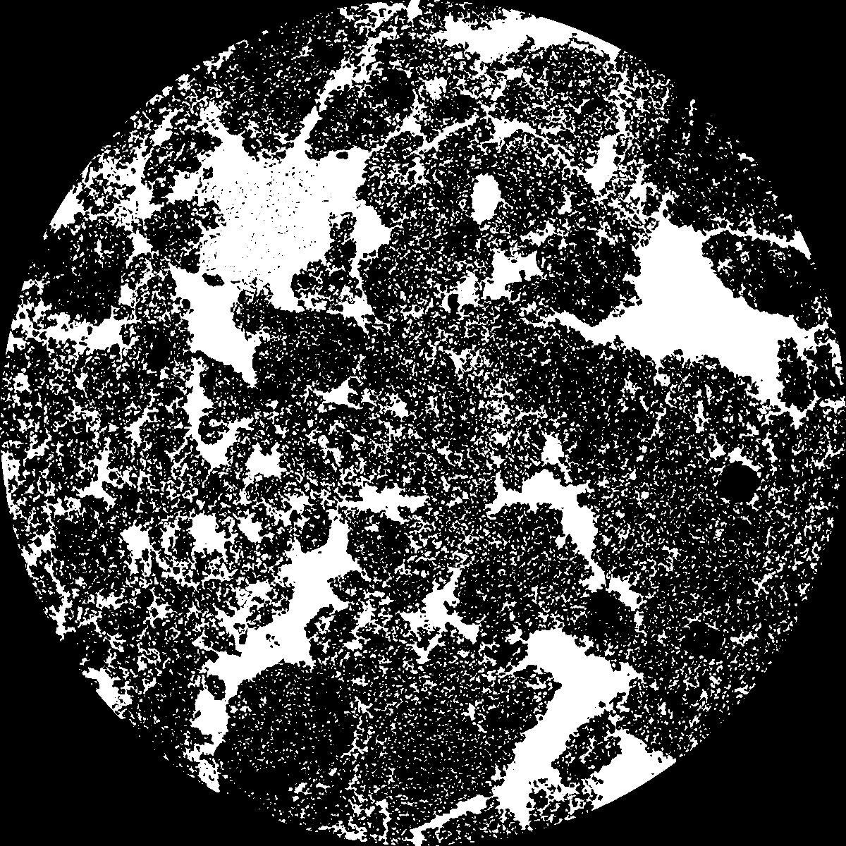
| Pores white? | True |
|---|
|
| XY Plane |

|
|---|
|
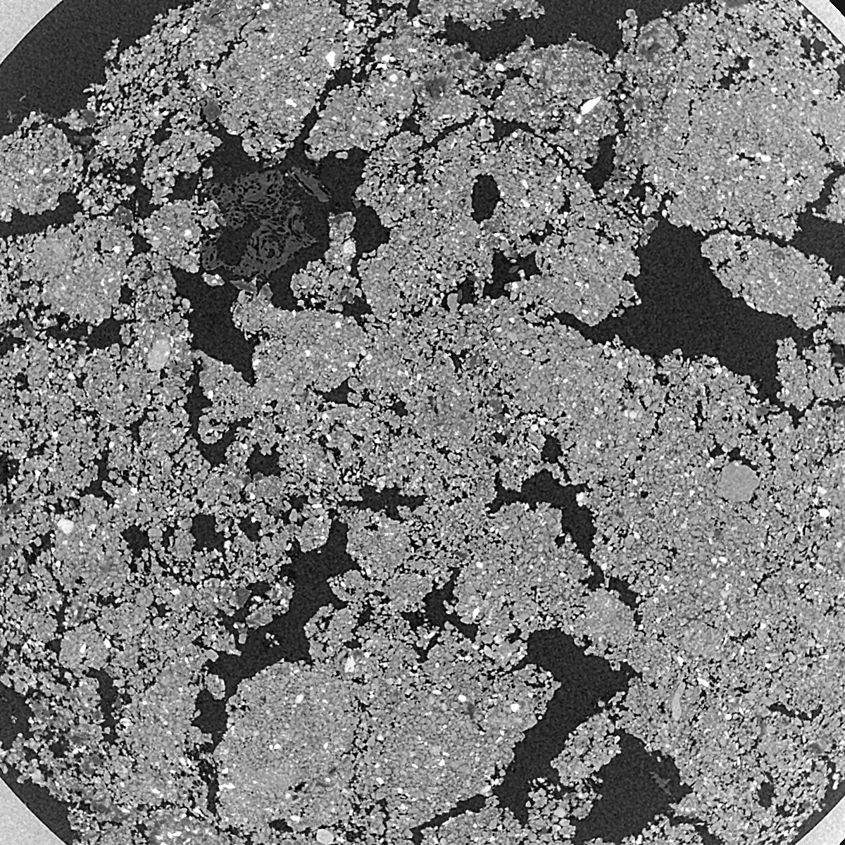
| XY Plane Grey |

|
|---|
|
| Texture | silty clay loam |
|---|
| Sand | 3.5 |
|---|
| Silt | 65.1 |
|---|
| Clay | 31.4 |
|---|
|
|
Results
| Porosity | Surface | Mean Curvature | Euler | MeanPoreSize | Gamma | PoreDist |
| 0.3392 | 40.12 | 254.56 | 1068.0 | 0.0 | 0.9107 | 0.009033772 |
| Opening size | Volume | Surface | MeanCurvature | Euler number |
|---|
| 0.01 | 0.3392 | 40.12 | 254.56 | 1068.0 |
| 0.0125 | 0.3141 | 30.7 | 151.56 | -1415.2 |
| 0.015 | 0.284 | 23.98 | 101.16 | -898.4 |
| 0.0175 | 0.2602 | 19.414 | 75.64 | 88.56 |
| 0.02 | 0.25 | 17.682 | 73.12 | 896.0 |
| 0.022500000000000003 | 0.2073 | 10.66 | 26.644 | 211.04 |
| 0.025 | 0.1946 | 8.978 | 18.644 | 138.72 |
| 0.030000000000000002 | 0.1838 | 7.648 | 13.6 | 116.8 |
| 0.034999999999999996 | 0.1646 | 5.772 | 7.328 | 38.512 |
| 0.04 | 0.1551 | 5.032 | 5.768 | 22.3048 |
| 0.045 | 0.1426 | 4.21 | 4.316 | 17.3864 |
| 0.049999999999999996 | 0.1367 | 3.858 | 3.7736 | 10.8832 |
| 0.055 | 0.1257 | 3.294 | 3.0912 | 10.6496 |
| 0.06 | 0.1203 | 3.016 | 2.7292 | 7.43824 |
| 0.065 | 0.1127 | 2.684 | 2.3588 | 6.37128 |
| 0.07 | 0.1091 | 2.524 | 2.1784 | 4.53208 |
| 0.07500000000000001 | 0.102 | 2.242 | 1.862 | 4.05448 |
| 0.1 | 0.08093 | 1.529 | 1.16 | 2.60136 |
| 0.125 | 0.0647 | 1.0882 | 0.7572 | 1.5344 |
| 0.15 | 0.05262 | 0.8168 | 0.5416 | 0.98568 |
| 0.17500000000000002 | 0.04226 | 0.616 | 0.399248 | 0.711312 |
| 0.225 | 0.02621 | 0.3404 | 0.204808 | 0.325168 |
| 0.275 | 0.01553 | 0.18872 | 0.109492 | 0.152424 |
| 0.325 | 0.00842 | 0.09644 | 0.055024 | 0.091456 |
| 0.375 | 0.003348 | 0.03432 | 0.0168172 | 0.0203232 |
| 0.425 | 0.00174 | 0.018856 | 0.010822 | 0.0203232 |
| 0.475 | 0.00065 | 0.006276 | 0.00315008 | 0.00487448 |
| 0.525 | 0.0005104 | 0.005254 | 0.00284524 | 0.00487448 |
Reference: An open Soil Structure Library based on X-ray CT data


