General Information
Internal Identifier ML_J333
| Soil Type | Regosol |
|---|
| Classification | WRB |
|---|
|
| Location | Garzweiler open-cast mine |
|---|
| Latitude | 51.063893 |
|---|
| Longitude | 6.502039 |
|---|
|
| Landuse | agricultural crop rotation |
|---|
| Tillage | conventional tillage |
|---|
| Crop | winter wheat, maize, winter barley, triticale, winter wheat |
|---|
|
| Sampling Depth | 9.0 |
|---|
| Sample Height | 0.7 |
|---|
| Sampling Date | March 15, 2017 |
|---|
| Voxel size | 0.005 |
|---|
| Pores white? | True |
|---|
|
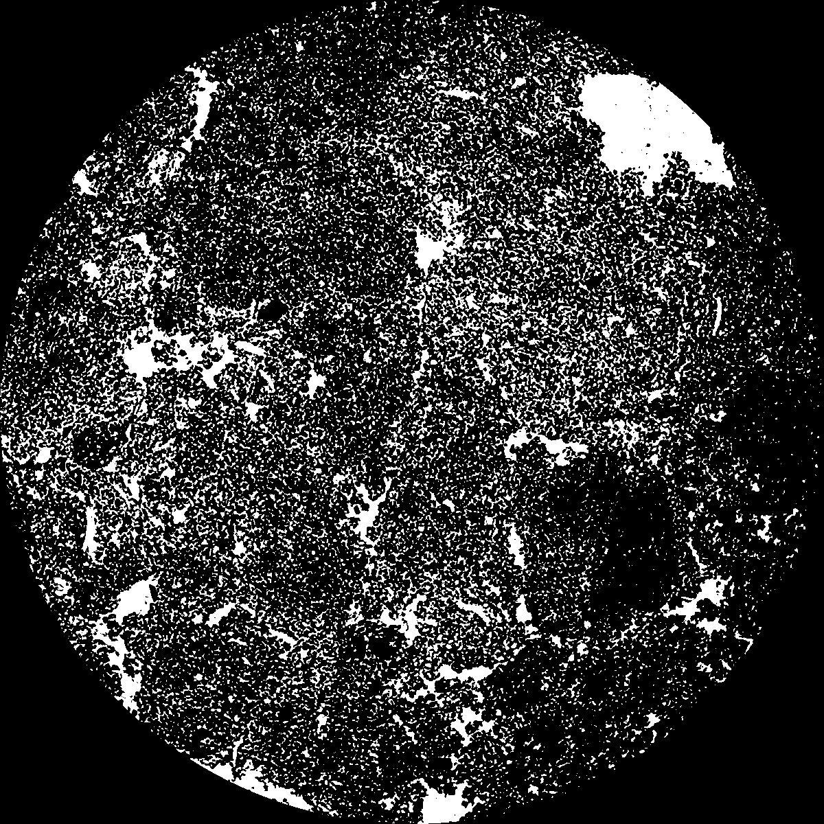
| XY Plane |

|
|---|
|
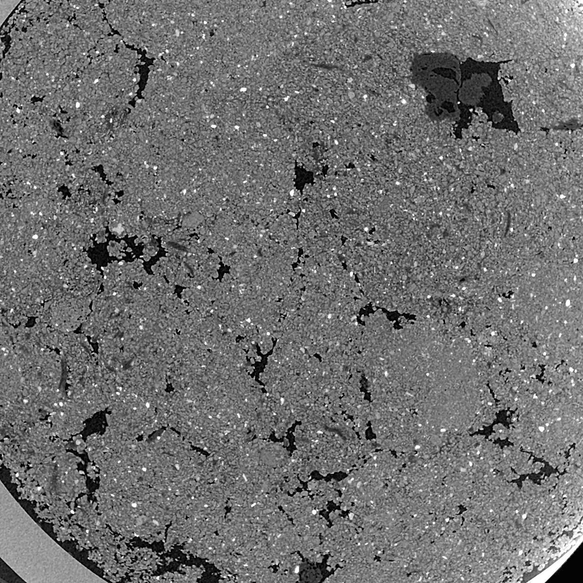
| XY Plane Grey |

|
|---|
|
| Texture | silty clay loam |
|---|
| Sand | 3.5 |
|---|
| Silt | 65.1 |
|---|
| Clay | 31.4 |
|---|
|
|
Results
| Porosity | Surface | Mean Curvature | Euler | MeanPoreSize | Gamma | PoreDist |
| 0.2377 | 45.74 | 375.4 | -3160.8 | 0.0 | 0.8275 | 0.008512779 |
| Opening size | Volume | Surface | MeanCurvature | Euler number |
|---|
| 0.01 | 0.2377 | 45.74 | 375.4 | -3160.8 |
| 0.0125 | 0.197 | 32.0 | 248.52 | 356.4 |
| 0.015 | 0.1447 | 19.144 | 130.84 | 1386.4 |
| 0.0175 | 0.1183 | 13.344 | 79.52 | 1154.4 |
| 0.02 | 0.1097 | 11.78 | 73.68 | 1634.4 |
| 0.022500000000000003 | 0.07826 | 6.004 | 22.984 | 261.76 |
| 0.025 | 0.06983 | 4.842 | 16.624 | 178.56 |
| 0.030000000000000002 | 0.06246 | 3.894 | 12.268 | 137.12 |
| 0.034999999999999996 | 0.05014 | 2.554 | 6.344 | 57.9656 |
| 0.04 | 0.04441 | 2.048 | 4.644 | 40.1232 |
| 0.045 | 0.03744 | 1.5022 | 2.926 | 25.1064 |
| 0.049999999999999996 | 0.03449 | 1.296 | 2.3596 | 18.7968 |
| 0.055 | 0.02951 | 0.9926 | 1.5992 | 12.4568 |
| 0.06 | 0.02729 | 0.8618 | 1.2928 | 9.1848 |
| 0.065 | 0.02434 | 0.7142 | 0.9816 | 6.66528 |
| 0.07 | 0.02309 | 0.6534 | 0.8668 | 5.27328 |
| 0.07500000000000001 | 0.02061 | 0.547 | 0.6712 | 3.82032 |
| 0.1 | 0.01399 | 0.3092 | 0.312736 | 1.33104 |
| 0.125 | 0.009619 | 0.18644 | 0.168512 | 0.599464 |
| 0.15 | 0.006804 | 0.11564 | 0.089564 | 0.213368 |
| 0.17500000000000002 | 0.004985 | 0.07688 | 0.052988 | 0.132088 |
| 0.225 | 0.002661 | 0.04006 | 0.0284492 | 0.0508024 |
| 0.275 | 0.001043 | 0.013902 | 0.0090428 | 0.0203208 |
| 0.325 | 0.0001551 | 0.002054 | 0.00137164 | 0.00282968 |
Reference: An open Soil Structure Library based on X-ray CT data


