General Information
Internal Identifier ML_J422
| Soil Type | Regosol |
|---|
| Classification | WRB |
|---|
|
| Location | Garzweiler open-cast mine |
|---|
| Latitude | 51.063893 |
|---|
| Longitude | 6.502039 |
|---|
|
| Landuse | agricultural crop rotation |
|---|
| Tillage | conventional tillage |
|---|
| Crop | winter wheat, maize, winter barley, triticale, winter wheat |
|---|
|
| Sampling Depth | 43.0 |
|---|
| Sample Height | 0.7 |
|---|
| Sampling Date | March 15, 2017 |
|---|
| Voxel size | 0.005 |
|---|
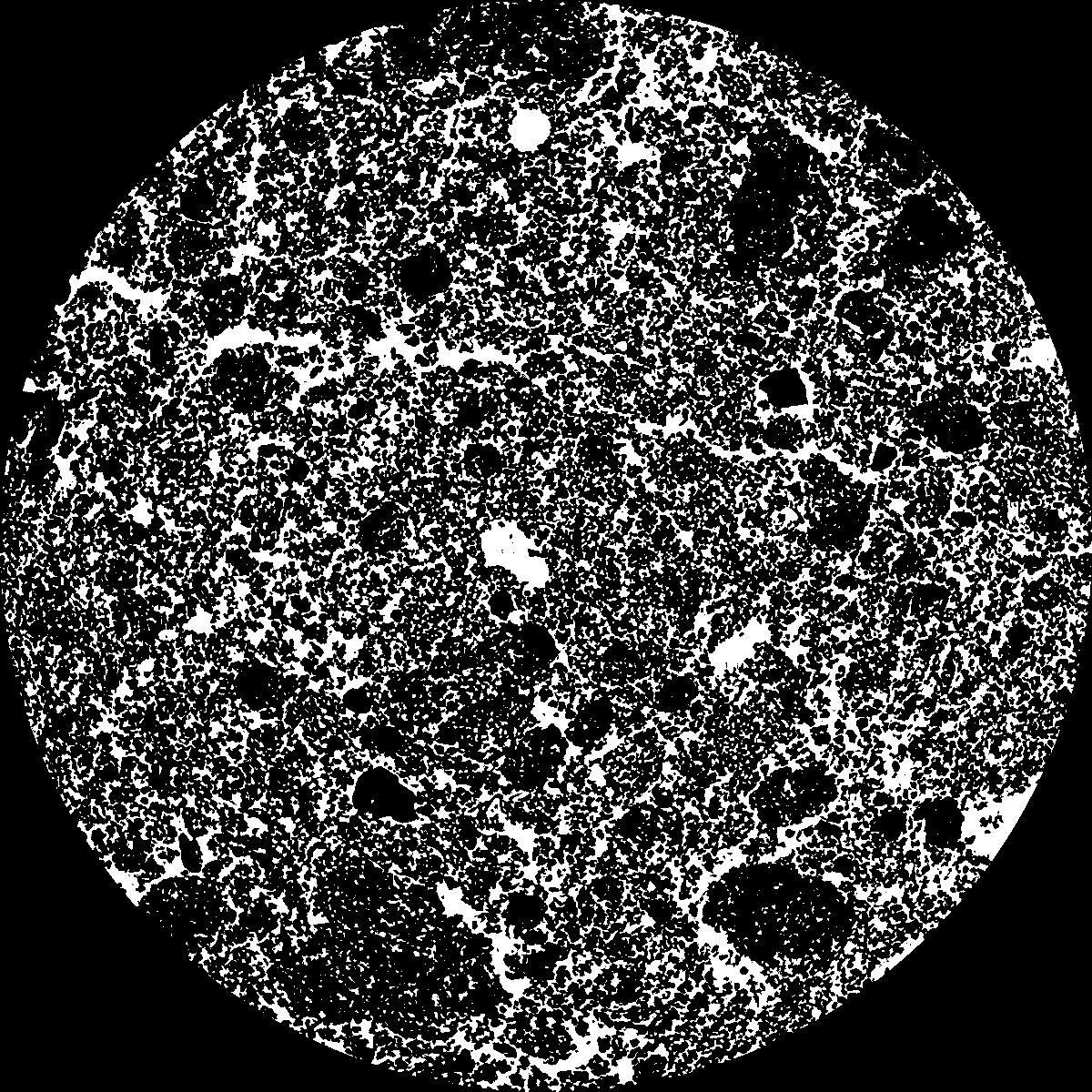
| Pores white? | True |
|---|
|
| XY Plane |

|
|---|
|
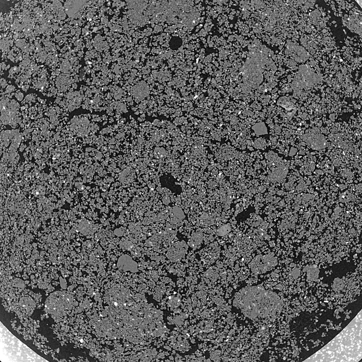
| XY Plane Grey |

|
|---|
|
| Texture | silty clay loam |
|---|
| Sand | 3.5 |
|---|
| Silt | 65.1 |
|---|
| Clay | 31.4 |
|---|
|
|
Results
| Porosity | Surface | Mean Curvature | Euler | MeanPoreSize | Gamma | PoreDist |
| 0.2862 | 40.84 | 208.68 | -5036.0 | 0.0 | 0.9343 | 0.009834919 |
| Opening size | Volume | Surface | MeanCurvature | Euler number |
|---|
| 0.01 | 0.2862 | 40.84 | 208.68 | -5036.0 |
| 0.0125 | 0.2656 | 33.86 | 154.76 | -3400.8 |
| 0.015 | 0.2366 | 27.72 | 122.6 | -1619.2 |
| 0.0175 | 0.2126 | 23.24 | 102.0 | -347.28 |
| 0.02 | 0.2005 | 21.22 | 100.56 | 663.04 |
| 0.022500000000000003 | 0.1466 | 12.734 | 52.84 | 404.88 |
| 0.025 | 0.1275 | 10.122 | 40.32 | 371.44 |
| 0.030000000000000002 | 0.1092 | 7.768 | 30.052 | 340.72 |
| 0.034999999999999996 | 0.08016 | 4.414 | 13.948 | 148.0 |
| 0.04 | 0.06803 | 3.234 | 9.112 | 90.32 |
| 0.045 | 0.05489 | 2.096 | 4.748 | 43.024 |
| 0.049999999999999996 | 0.05008 | 1.7302 | 3.5764 | 29.8952 |
| 0.055 | 0.0425 | 1.2152 | 2.0396 | 15.872 |
| 0.06 | 0.03946 | 1.0216 | 1.5244 | 10.8224 |
| 0.065 | 0.03577 | 0.8204 | 1.05 | 7.21472 |
| 0.07 | 0.03429 | 0.7412 | 0.8792 | 5.37544 |
| 0.07500000000000001 | 0.03155 | 0.6114 | 0.6088 | 3.5972 |
| 0.1 | 0.02524 | 0.3718 | 0.24032 | 1.13808 |
| 0.125 | 0.02143 | 0.2684 | 0.13576 | 0.365816 |
| 0.15 | 0.01891 | 0.2174 | 0.109948 | 0.27436 |
| 0.17500000000000002 | 0.01657 | 0.1725 | 0.081952 | 0.193072 |
| 0.225 | 0.01358 | 0.12248 | 0.048724 | 0.081296 |
| 0.275 | 0.01095 | 0.08844 | 0.0307388 | 0.0406464 |
| 0.325 | 0.008997 | 0.06758 | 0.0210344 | 0.0203232 |
| 0.375 | 0.007808 | 0.058 | 0.0178336 | 0.0101616 |
| 0.425 | 0.006769 | 0.05132 | 0.0167156 | 0.0097504 |
| 0.475 | 0.005187 | 0.04186 | 0.015852 | 0.0101616 |
| 0.525 | 0.003849 | 0.03238 | 0.013464 | 0.0101616 |
| 0.575 | 0.001246 | 0.009838 | 0.003963 | 0.00487448 |
Reference: An open Soil Structure Library based on X-ray CT data


