General Information
Internal Identifier CG_P1_O_b_3cm_a
| Soil Type | Chernozem |
|---|
| Classification | WRB |
|---|
|
| Location | Bernburg (Westerfeld) |
|---|
| Latitude | 51.82 |
|---|
| Longitude | 11.7 |
|---|
|
| Landuse | agricultural crop rotation |
|---|
| Tillage | conventional tillage |
|---|
| Crop | winter wheat, maize, winter wheat, winter rape, winter barley |
|---|
|
| Sampling Depth | 16.0 |
|---|
| Sample Height | 3.0 |
|---|
| Sampling Date | March 28, 2017 |
|---|
| Voxel size | 0.02 |
|---|
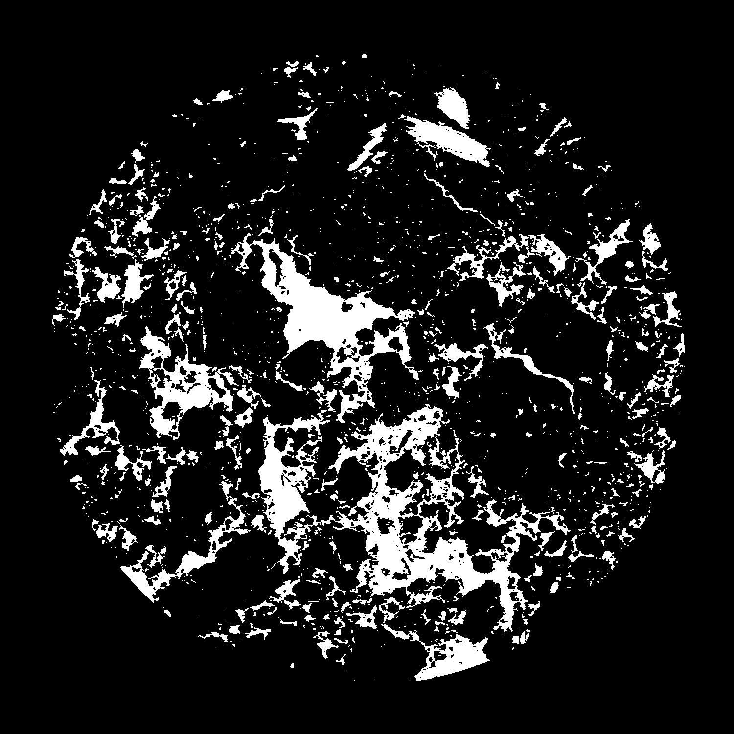
| Pores white? | True |
|---|
|
| XY Plane |

|
|---|
|
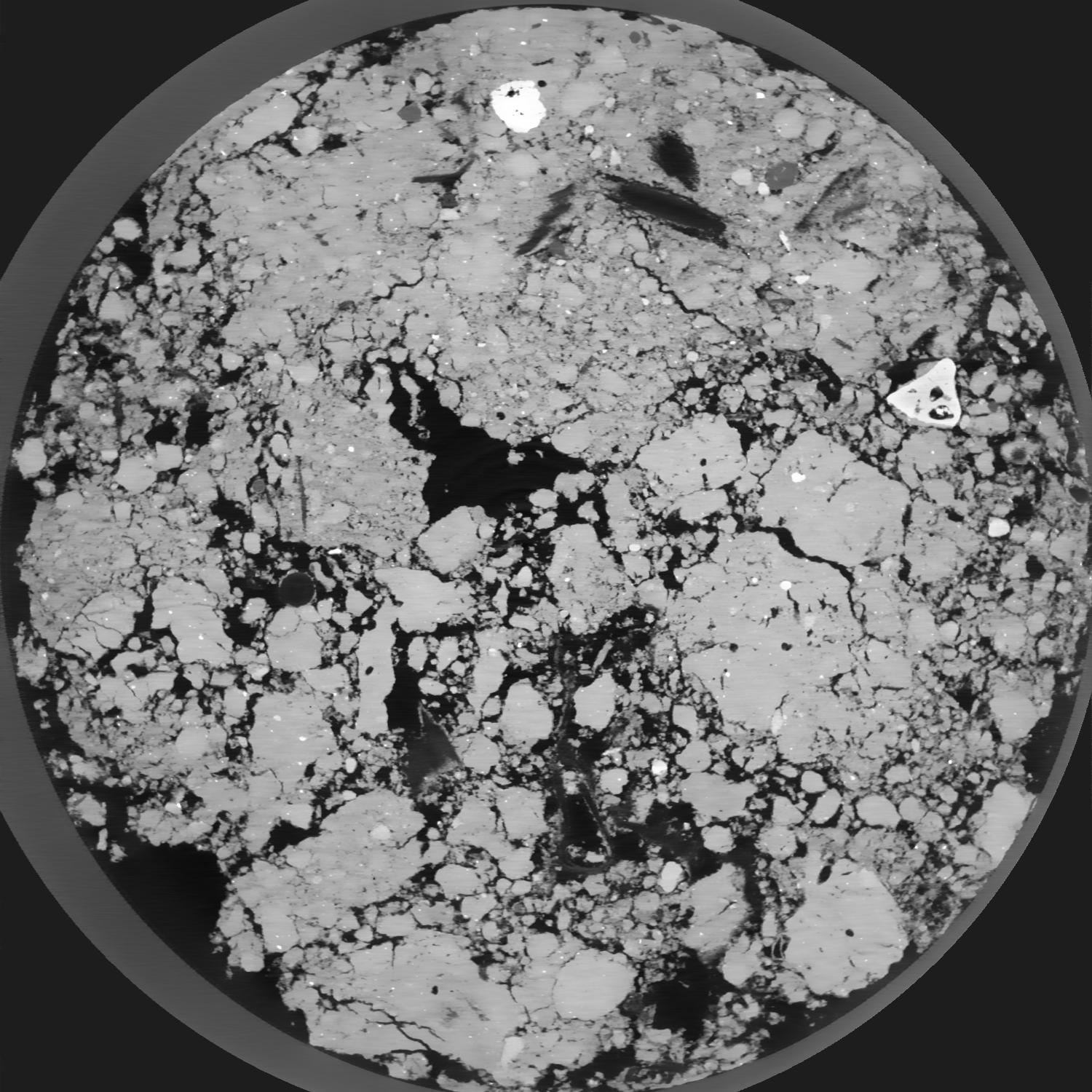
| XY Plane Grey |

|
|---|
|
| Texture | silt loam |
|---|
| Sand | 8.0 |
|---|
| Silt | 79.0 |
|---|
| Clay | 13.0 |
|---|
|
|
Results
| Porosity | Surface | Mean Curvature | Euler | MeanPoreSize | Gamma | PoreDist |
| 0.1988 | 3.6865 | 2.28175 | -3.7775 | 0.0 | 0.9441 | 0.129599689 |
| Opening size | Volume | Surface | MeanCurvature | Euler number |
|---|
| 0.04 | 0.1988 | 3.6865 | 2.28175 | -3.7775 |
| 0.05 | 0.1946 | 3.2485 | 1.3935 | -6.5875 |
| 0.06 | 0.1903 | 3.038 | 1.1675 | -6.5675 |
| 0.07 | 0.1866 | 2.8885 | 1.05625 | -4.915 |
| 0.08 | 0.1845 | 2.8035 | 1.06225 | -2.7 |
| 0.09000000000000001 | 0.1718 | 2.425 | 0.885 | -2.35375 |
| 0.1 | 0.1655 | 2.2595 | 0.82975 | -1.62 |
| 0.12000000000000001 | 0.1572 | 2.0395 | 0.757 | -0.5905125 |
| 0.13999999999999999 | 0.1389 | 1.6575 | 0.62125 | -0.03763375 |
| 0.16 | 0.1274 | 1.445 | 0.547 | 0.1040225 |
| 0.18 | 0.1105 | 1.1665 | 0.435 | 0.28395 |
| 0.19999999999999998 | 0.1023 | 1.0395 | 0.384 | 0.2323625 |
| 0.22 | 0.08707 | 0.834 | 0.306 | 0.276125 |
| 0.24 | 0.07944 | 0.728 | 0.261 | 0.1995875 |
| 0.26 | 0.06898 | 0.604 | 0.2137 | 0.1828875 |
| 0.28 | 0.06414 | 0.545 | 0.19035 | 0.1435625 |
| 0.30000000000000004 | 0.05492 | 0.44375 | 0.149875 | 0.12051375 |
| 0.4 | 0.03113 | 0.2144 | 0.067 | 0.0558175 |
| 0.5 | 0.01738 | 0.10365 | 0.0296 | 0.0262175 |
| 0.6 | 0.01039 | 0.05465 | 0.013785 | 0.009091375 |
| 0.7000000000000001 | 0.005785 | 0.02714 | 0.0064865 | 0.004862875 |
| 0.9 | 0.002242 | 0.008265 | 0.001505375 | 0.000845713 |
| 1.1 | 0.001223 | 0.004038 | 0.000625825 | 0.000156938 |
| 1.3 | 0.0008047 | 0.002882 | 0.000520125 | 0.000211425 |
| 1.5 | 0.0001986 | 0.000708 | 0.000135315 | 0.000078483 |
Reference: An open Soil Structure Library based on X-ray CT data


