General Information
Internal Identifier CG_P3_O_b_3cm_b
| Soil Type | Chernozem |
|---|
| Classification | WRB |
|---|
|
| Location | Bernburg (Westerfeld) |
|---|
| Latitude | 51.82 |
|---|
| Longitude | 11.7 |
|---|
|
| Landuse | agricultural crop rotation |
|---|
| Tillage | conventional tillage |
|---|
| Crop | winter wheat, maize, winter wheat, winter rape, winter barley |
|---|
|
| Sampling Depth | 16.0 |
|---|
| Sample Height | 3.0 |
|---|
| Sampling Date | March 28, 2017 |
|---|
| Voxel size | 0.02 |
|---|
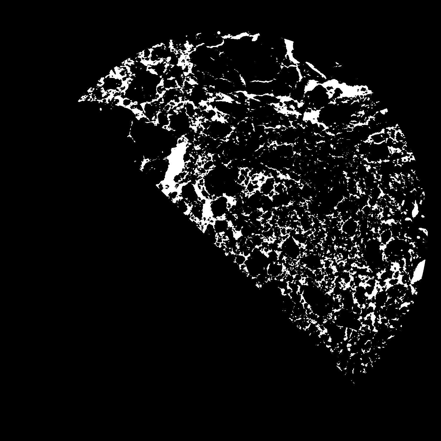
| Pores white? | True |
|---|
|
| XY Plane |

|
|---|
|
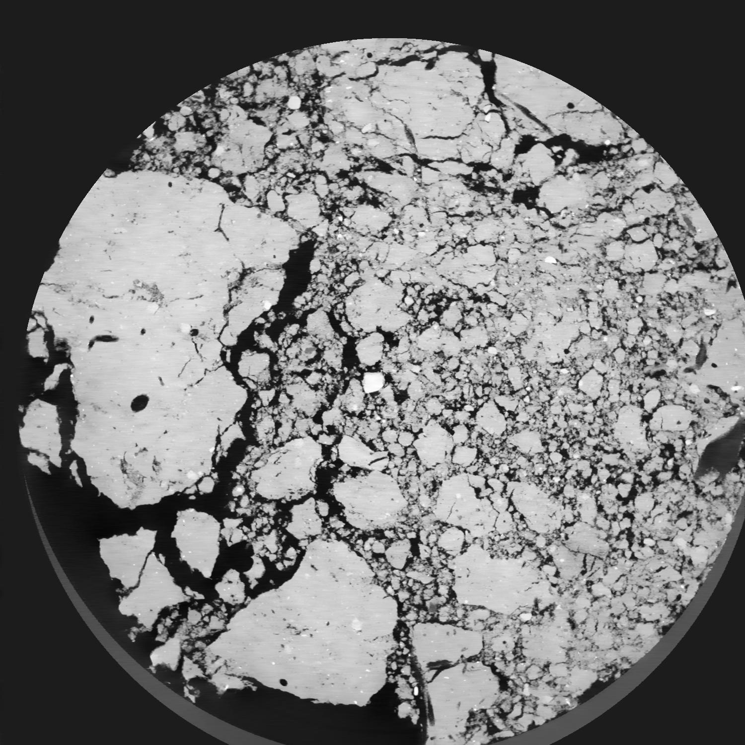
| XY Plane Grey |

|
|---|
|
| Texture | silt loam |
|---|
| Sand | 8.0 |
|---|
| Silt | 79.0 |
|---|
| Clay | 13.0 |
|---|
|
|
Results
| Porosity | Surface | Mean Curvature | Euler | MeanPoreSize | Gamma | PoreDist |
| 0.1693 | 3.944 | 3.2525 | -7.64125 | 0.0 | 0.9353 | 0.127491204 |
| Opening size | Volume | Surface | MeanCurvature | Euler number |
|---|
| 0.04 | 0.1693 | 3.944 | 3.2525 | -7.64125 |
| 0.05 | 0.1642 | 3.4415 | 2.16225 | -10.11125 |
| 0.06 | 0.159 | 3.1855 | 1.87575 | -8.95125 |
| 0.07 | 0.1545 | 2.9975 | 1.7255 | -6.2225 |
| 0.08 | 0.1518 | 2.8885 | 1.72775 | -3.15875 |
| 0.09000000000000001 | 0.136 | 2.39 | 1.4195 | -1.80375 |
| 0.1 | 0.1282 | 2.175 | 1.309 | -0.785175 |
| 0.12000000000000001 | 0.1182 | 1.897 | 1.1625 | 0.4190875 |
| 0.13999999999999999 | 0.09733 | 1.407 | 0.845 | 0.8328125 |
| 0.16 | 0.08525 | 1.154 | 0.68075 | 0.79205 |
| 0.18 | 0.06891 | 0.8425 | 0.4665 | 0.6692625 |
| 0.19999999999999998 | 0.06167 | 0.714 | 0.383 | 0.531175 |
| 0.22 | 0.04942 | 0.517 | 0.25525 | 0.38495 |
| 0.24 | 0.04386 | 0.4301 | 0.201175 | 0.271575 |
| 0.26 | 0.03694 | 0.335 | 0.146175 | 0.1982 |
| 0.28 | 0.03394 | 0.2933 | 0.12235 | 0.1447 |
| 0.30000000000000004 | 0.02859 | 0.22785 | 0.0871 | 0.0983375 |
| 0.4 | 0.01681 | 0.10375 | 0.03025 | 0.02802375 |
| 0.5 | 0.01096 | 0.0555 | 0.01259025 | 0.008916625 |
| 0.6 | 0.00785 | 0.035865 | 0.00737275 | 0.004330875 |
| 0.7000000000000001 | 0.00535 | 0.0224 | 0.0043055 | 0.003057125 |
| 0.9 | 0.002519 | 0.009755 | 0.0018139 | 0.000764287 |
| 1.1 | 0.000986 | 0.003452 | 0.000606325 | 0.000254762 |
| 1.3 | 0.0003167 | 0.0011075 | 0.000198713 | 0.000105955 |
Reference: An open Soil Structure Library based on X-ray CT data


