General Information
Internal Identifier CG_P4_O_a_3cm_c
| Soil Type | Chernozem |
|---|
| Classification | WRB |
|---|
|
| Location | Bernburg (Westerfeld) |
|---|
| Latitude | 51.82 |
|---|
| Longitude | 11.7 |
|---|
|
| Landuse | agricultural crop rotation |
|---|
| Tillage | conventional tillage |
|---|
| Crop | winter wheat, maize, winter wheat, winter rape, winter barley |
|---|
|
| Sampling Depth | 16.0 |
|---|
| Sample Height | 3.0 |
|---|
| Sampling Date | March 28, 2017 |
|---|
| Voxel size | 0.02 |
|---|
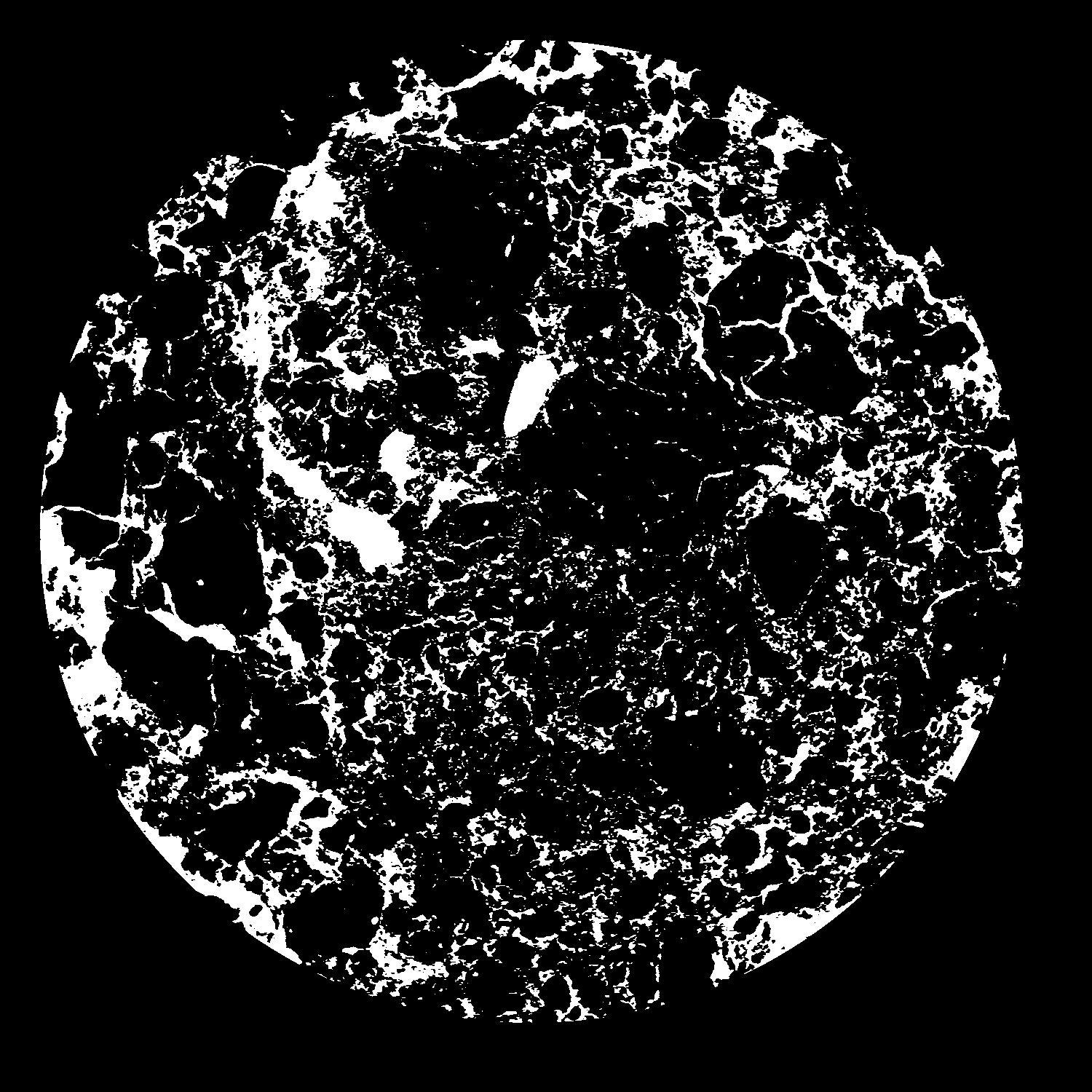
| Pores white? | True |
|---|
|
| XY Plane |

|
|---|
|
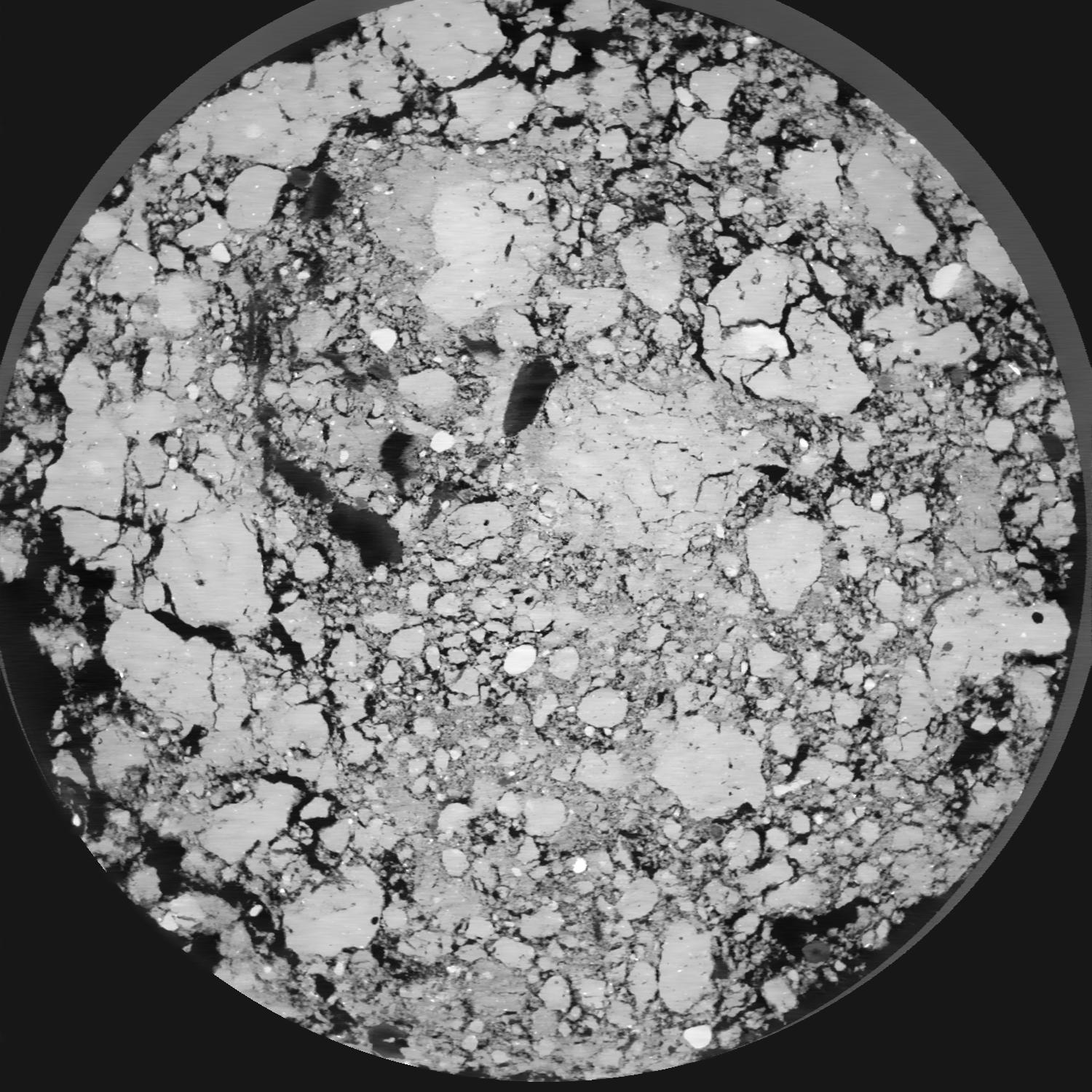
| XY Plane Grey |

|
|---|
|
| Texture | silt loam |
|---|
| Sand | 8.0 |
|---|
| Silt | 79.0 |
|---|
| Clay | 13.0 |
|---|
|
|
Results
| Porosity | Surface | Mean Curvature | Euler | MeanPoreSize | Gamma | PoreDist |
| 0.1963 | 4.6815 | 3.645 | -13.8875 | 0.0 | 0.9396 | 0.1105605 |
| Opening size | Volume | Surface | MeanCurvature | Euler number |
|---|
| 0.04 | 0.1963 | 4.6815 | 3.645 | -13.8875 |
| 0.05 | 0.1898 | 3.98 | 2.26125 | -14.4125 |
| 0.06 | 0.1826 | 3.635 | 1.91925 | -12.19875 |
| 0.07 | 0.1767 | 3.393 | 1.739 | -8.35625 |
| 0.08 | 0.1733 | 3.255 | 1.743 | -4.29875 |
| 0.09000000000000001 | 0.1527 | 2.622 | 1.397 | -2.4575 |
| 0.1 | 0.1433 | 2.3685 | 1.278 | -1.32125 |
| 0.12000000000000001 | 0.1319 | 2.056 | 1.12625 | 0.0995975 |
| 0.13999999999999999 | 0.1073 | 1.498 | 0.81075 | 0.63915 |
| 0.16 | 0.09364 | 1.2245 | 0.65625 | 0.6497375 |
| 0.18 | 0.07545 | 0.8915 | 0.4525 | 0.6020875 |
| 0.19999999999999998 | 0.06751 | 0.757 | 0.37275 | 0.468975 |
| 0.22 | 0.05396 | 0.5495 | 0.25425 | 0.36545 |
| 0.24 | 0.04795 | 0.45875 | 0.20265 | 0.2684 |
| 0.26 | 0.04035 | 0.35745 | 0.14825 | 0.200175 |
| 0.28 | 0.03716 | 0.315 | 0.1262 | 0.1595875 |
| 0.30000000000000004 | 0.03145 | 0.2464 | 0.0908 | 0.11508625 |
| 0.4 | 0.01865 | 0.114 | 0.031475 | 0.03274125 |
| 0.5 | 0.01227 | 0.0637 | 0.0135555 | 0.009999 |
| 0.6 | 0.008269 | 0.04071 | 0.00861875 | 0.0049015 |
| 0.7000000000000001 | 0.005101 | 0.02429 | 0.005019 | 0.00235275 |
| 0.9 | 0.0007819 | 0.003773 | 0.000901875 | 0.000588175 |
| 1.1 | 0.0001027 | 0.0004565 | 0.00010587 | 0.000072776 |
Reference: An open Soil Structure Library based on X-ray CT data


