General Information
Internal Identifier CG_P4_U_b_3cm_a
| Soil Type | Chernozem |
|---|
| Classification | WRB |
|---|
|
| Location | Bernburg (Westerfeld) |
|---|
| Latitude | 51.82 |
|---|
| Longitude | 11.7 |
|---|
|
| Landuse | agricultural crop rotation |
|---|
| Tillage | conventional tillage |
|---|
| Crop | winter wheat, maize, winter wheat, winter rape, winter barley |
|---|
|
| Sampling Depth | 31.0 |
|---|
| Sample Height | 3.0 |
|---|
| Sampling Date | March 28, 2017 |
|---|
| Voxel size | 0.02 |
|---|
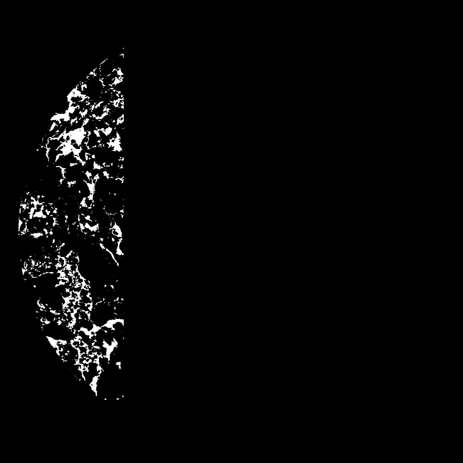
| Pores white? | True |
|---|
|
| XY Plane |

|
|---|
|
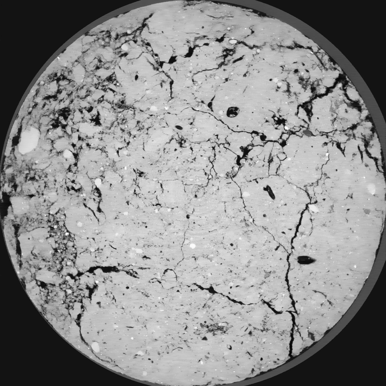
| XY Plane Grey |

|
|---|
|
| Texture | silt loam |
|---|
| Sand | 8.0 |
|---|
| Silt | 79.0 |
|---|
| Clay | 13.0 |
|---|
|
|
Results
| Porosity | Surface | Mean Curvature | Euler | MeanPoreSize | Gamma | PoreDist |
| 0.1382 | 3.308 | 2.6675 | -1.83625 | 0.0 | 0.8847 | 0.141198584 |
| Opening size | Volume | Surface | MeanCurvature | Euler number |
|---|
| 0.04 | 0.1382 | 3.308 | 2.6675 | -1.83625 |
| 0.05 | 0.134 | 2.8385 | 1.63875 | -6.965 |
| 0.06 | 0.1297 | 2.6265 | 1.38425 | -6.90125 |
| 0.07 | 0.126 | 2.4765 | 1.2595 | -5.195 |
| 0.08 | 0.1238 | 2.3905 | 1.2585 | -2.8325 |
| 0.09000000000000001 | 0.1104 | 1.987 | 1.05475 | -2.02875 |
| 0.1 | 0.1039 | 1.8175 | 0.99225 | -1.2254875 |
| 0.12000000000000001 | 0.0956 | 1.596 | 0.89825 | -0.1528875 |
| 0.13999999999999999 | 0.07715 | 1.186 | 0.69 | 0.4344375 |
| 0.16 | 0.06644 | 0.9725 | 0.57425 | 0.506325 |
| 0.18 | 0.05161 | 0.697 | 0.402 | 0.5357 |
| 0.19999999999999998 | 0.04514 | 0.585 | 0.33325 | 0.4348375 |
| 0.22 | 0.0342 | 0.4103 | 0.223975 | 0.3423125 |
| 0.24 | 0.0293 | 0.333 | 0.175325 | 0.251775 |
| 0.26 | 0.0233 | 0.2477 | 0.122625 | 0.1771125 |
| 0.28 | 0.02084 | 0.2133 | 0.10295 | 0.1362125 |
| 0.30000000000000004 | 0.01657 | 0.15895 | 0.071475 | 0.090145 |
| 0.4 | 0.007535 | 0.05895 | 0.02171425 | 0.02382625 |
| 0.5 | 0.003593 | 0.02472 | 0.0080375 | 0.00794225 |
| 0.6 | 0.001723 | 0.01116 | 0.0036295 | 0.003971125 |
| 0.7000000000000001 | 0.0007972 | 0.005055 | 0.0016361 | 0.0015885 |
| 0.9 | 0.00006125 | 0.00038679 | 0.000127077 | 0.00013605 |
Reference: An open Soil Structure Library based on X-ray CT data


