General Information
Internal Identifier jmk_BL_P1N1_A
| Soil Type | Chernozem |
|---|
| Classification | WRB |
|---|
|
| Location | Bad Lauchstaedt |
|---|
| Latitude | 51.3927 |
|---|
| Longitude | 11.8789 |
|---|
|
| Landuse | agricultural crop rotation |
|---|
| Tillage | conventional tillage |
|---|
| Crop | winter rape, winter barley, winter wheat |
|---|
|
| Sampling Depth | 10.0 |
|---|
| Sample Height | 10.0 |
|---|
| Sampling Date | Aug. 16, 2017 |
|---|
| Voxel size | 0.06 |
|---|
| Pores white? | True |
|---|
|
| XY Plane |
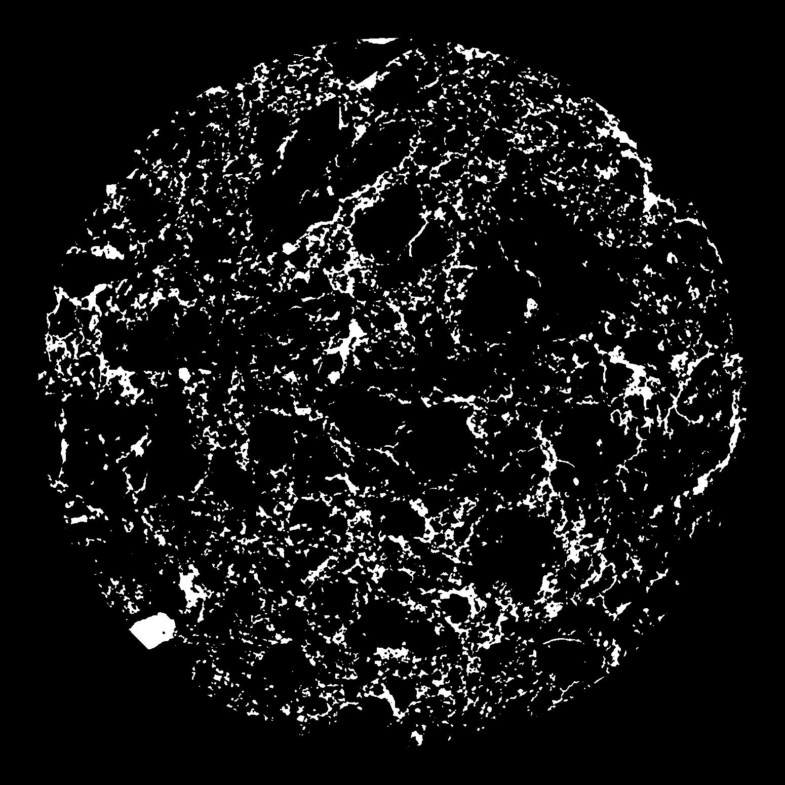
|
|---|
|
| XY Plane Grey |
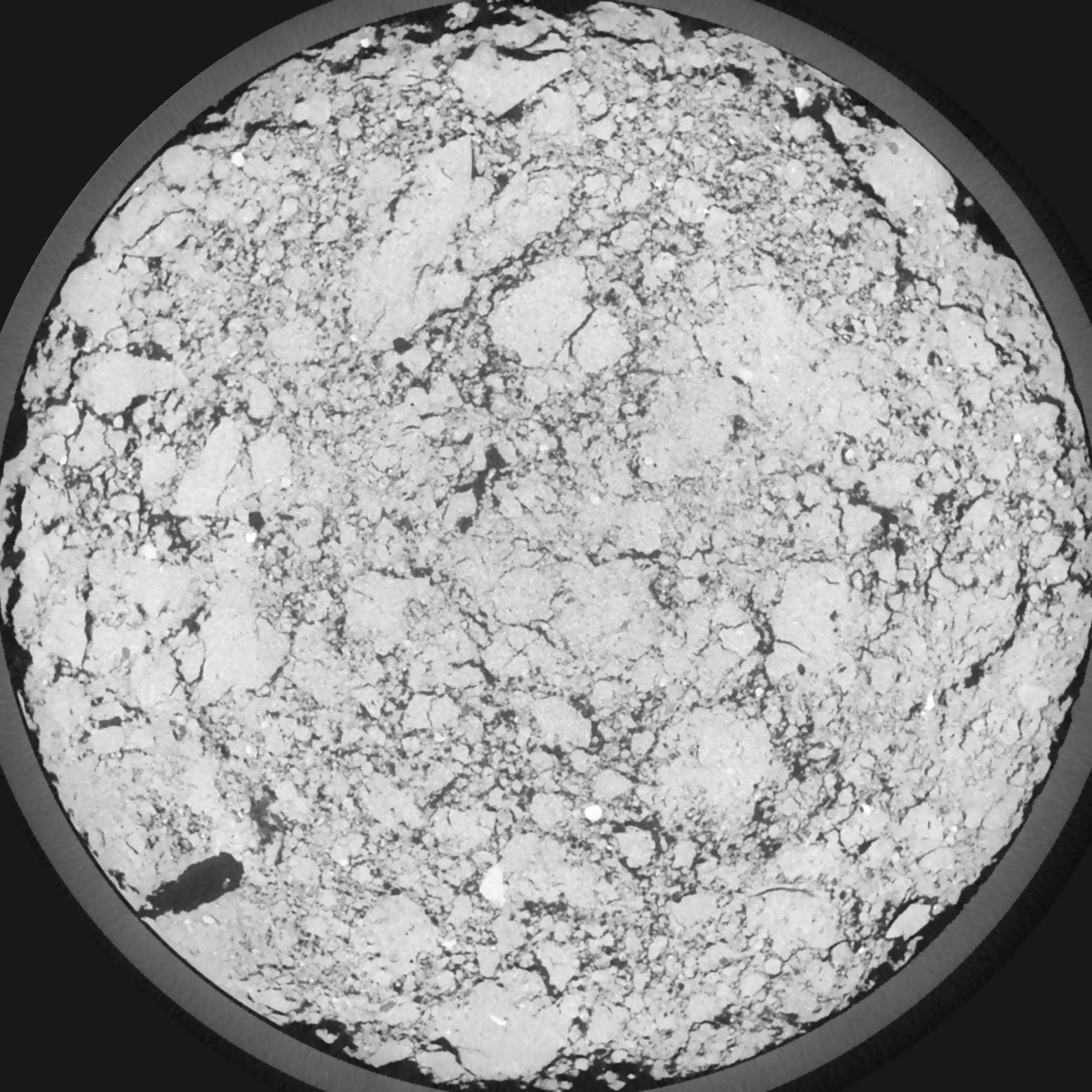
|
|---|
|
| Texture | silt loam |
|---|
| Sand | 11.0 |
|---|
| Silt | 68.0 |
|---|
| Clay | 21.0 |
|---|
|
|
Reference: An open Soil Structure Library based on X-ray CT data
 Soil Structure Library