General Information
Internal Identifier jmk_BL_P1N1_B
| Soil Type | Chernozem |
|---|
| Classification | WRB |
|---|
|
| Location | Bad Lauchstaedt |
|---|
| Latitude | 51.3927 |
|---|
| Longitude | 11.8789 |
|---|
|
| Landuse | agricultural crop rotation |
|---|
| Tillage | conventional tillage |
|---|
| Crop | winter rape, winter barley, winter wheat |
|---|
|
| Sampling Depth | 10.0 |
|---|
| Sample Height | 10.0 |
|---|
| Sampling Date | Aug. 16, 2017 |
|---|
| Voxel size | 0.06 |
|---|
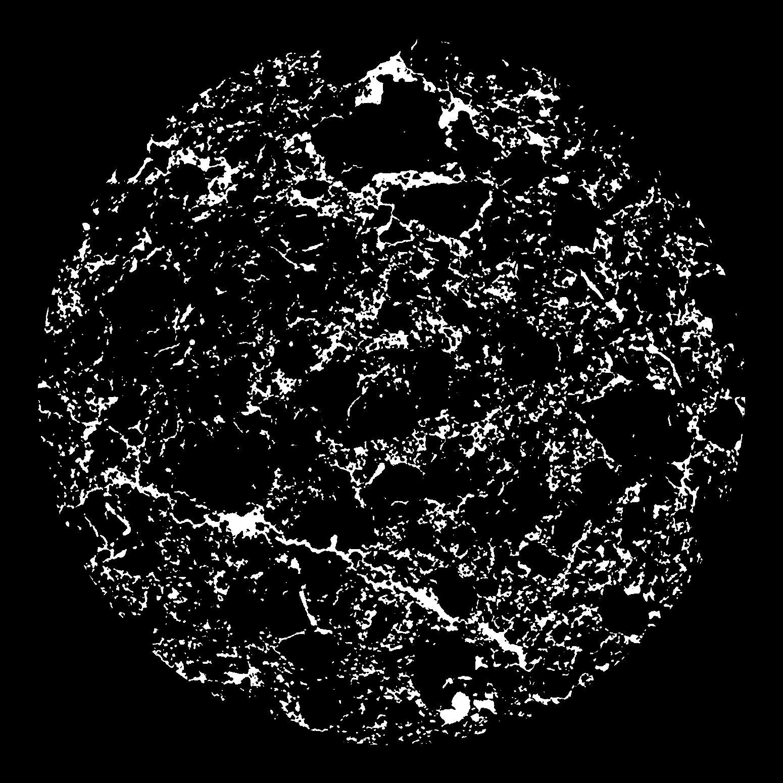
| Pores white? | True |
|---|
|
| XY Plane |

|
|---|
|
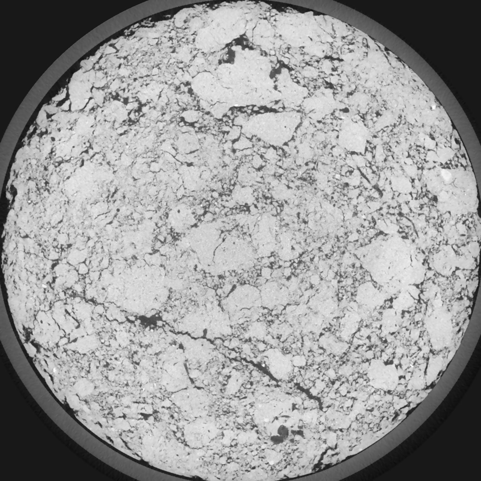
| XY Plane Grey |

|
|---|
|
| Texture | silt loam |
|---|
| Sand | 11.0 |
|---|
| Silt | 68.0 |
|---|
| Clay | 21.0 |
|---|
|
|
Results
| Porosity | Surface | Mean Curvature | Euler | MeanPoreSize | Gamma | PoreDist |
| 0.1112 | 1.100666667 | 0.404722222 | -0.448611111 | 0.0 | 0.8242 | 0.494609838 |
| Opening size | Volume | Surface | MeanCurvature | Euler number |
|---|
| 0.12 | 0.1112 | 1.100666667 | 0.404722222 | -0.448611111 |
| 0.15 | 0.108 | 1.0155 | 0.359722222 | -0.189814815 |
| 0.18 | 0.1038 | 0.941833333 | 0.321111111 | -0.141898148 |
| 0.21 | 0.09858 | 0.861666667 | 0.284722222 | -0.062453704 |
| 0.24 | 0.09561 | 0.821166667 | 0.281944444 | 0.077083333 |
| 0.27 | 0.07742 | 0.599666667 | 0.190388889 | 0.050092593 |
| 0.3 | 0.06876 | 0.507333333 | 0.159805556 | 0.07537037 |
| 0.36 | 0.05806 | 0.3965 | 0.124611111 | 0.088101852 |
| 0.42 | 0.04073 | 0.238 | 0.067861111 | 0.051990741 |
| 0.48 | 0.03243 | 0.171 | 0.045722222 | 0.034481481 |
| 0.54 | 0.02333 | 0.104283333 | 0.024019444 | 0.017693519 |
| 0.6000000000000001 | 0.01996 | 0.082083333 | 0.017686111 | 0.011818519 |
| 0.6599999999999999 | 0.01513 | 0.053533333 | 0.010025 | 0.00658287 |
| 0.72 | 0.01314 | 0.04235 | 0.007252778 | 0.004101852 |
| 0.78 | 0.01097 | 0.0316 | 0.004836111 | 0.002640694 |
| 0.8400000000000001 | 0.01011 | 0.0274 | 0.003933333 | 0.001841667 |
| 0.8999999999999999 | 0.008686 | 0.021316667 | 0.002736889 | 0.001217593 |
| 1.2 | 0.005767 | 0.010808333 | 0.0010155 | 0.000357676 |
| 1.5 | 0.004271 | 0.006721667 | 0.000519167 | 0.00015981 |
| 1.8 | 0.003377 | 0.004621667 | 0.000288111 | 0.000045661 |
| 2.1 | 0.002781 | 0.00359 | 0.000215061 | 0.00003805 |
| 2.7 | 0.001533 | 0.001591167 | 0.000075339 | 0.00001522 |
| 3.3000000000000003 | 0.001045 | 0.001001833 | 0.000045661 | 0.00001522 |
| 3.9 | 0.0007545 | 0.000693 | 0.000030136 | 0.000007609 |
| 4.5 | 0.0005184 | 0.000479167 | 0.000021004 | 0.000002174 |
Reference: An open Soil Structure Library based on X-ray CT data


