General Information
Internal Identifier Frederic Leuther
| Soil Type | Haplic Chernozem |
|---|
| Classification | FAO |
|---|
|
| Location | Bad Lauchtädt |
|---|
| Latitude | 51.39178 |
|---|
| Longitude | 11.87701 |
|---|
|
| Landuse | Cropland |
|---|
| Tillage | Conventional |
|---|
| Crop | silage maize, sugar beet, potato |
|---|
|
| Sampling Depth | 35.0 |
|---|
| Sample Height | 3.0 |
|---|
| Sampling Date | March 10, 2020 |
|---|
| Voxel size | 0.019 |
|---|
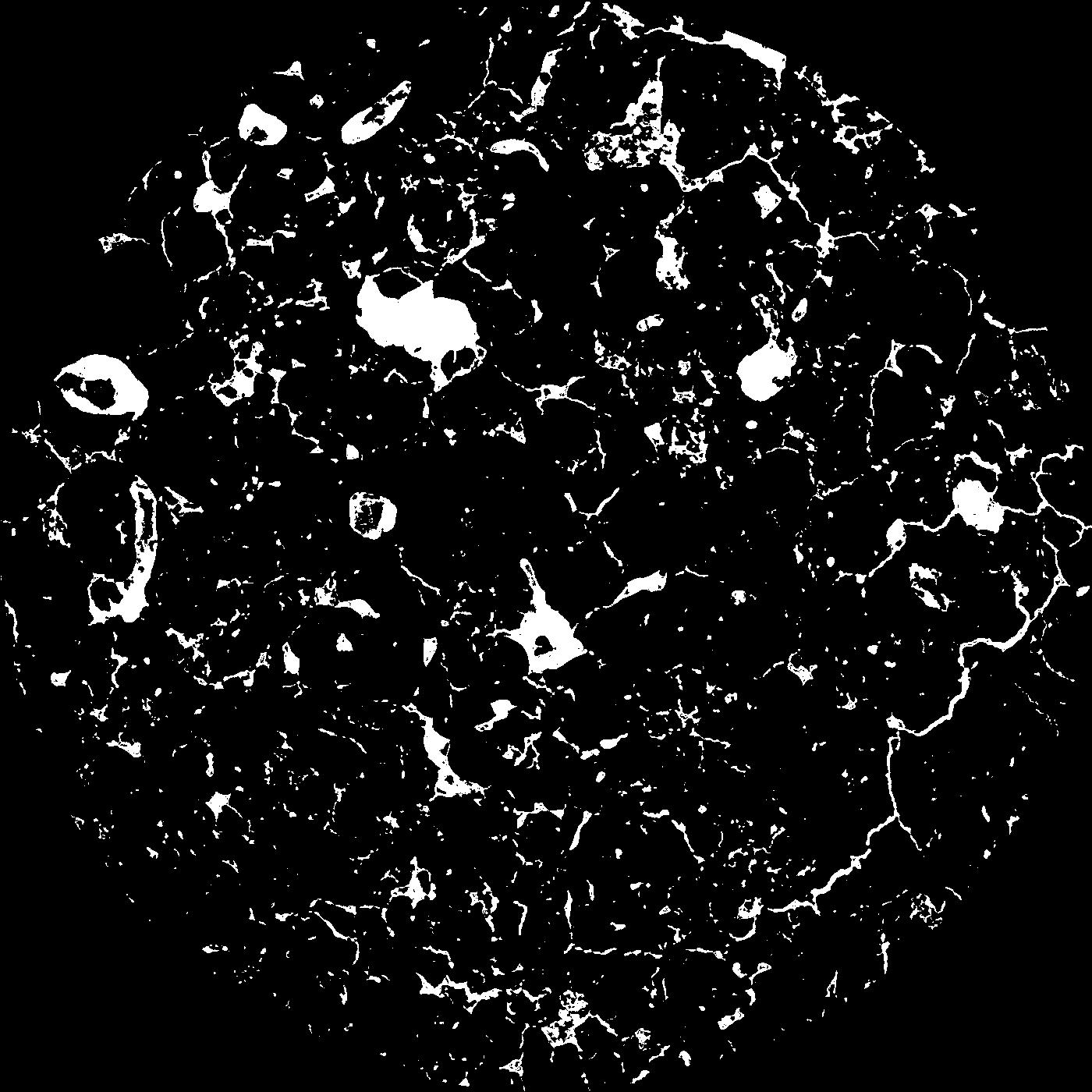
| Pores white? | True |
|---|
|
| XY Plane |

|
|---|
|
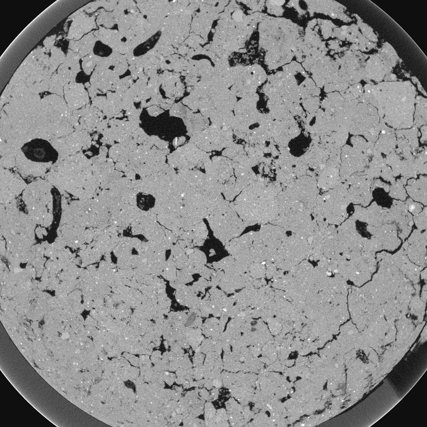
| XY Plane Grey |

|
|---|
|
| Texture | silt loam |
|---|
| Sand | 9.0 |
|---|
| Silt | 70.0 |
|---|
| Clay | 21.0 |
|---|
|
|
Results
| Porosity | Surface | Mean Curvature | Euler | MeanPoreSize | Gamma | PoreDist |
| 0.07665 | 2.494210526 | 2.592520776 | -0.318909462 | 0.0 | 0.7351 | 0.136946285 |
| Opening size | Volume | Surface | MeanCurvature | Euler number |
|---|
| 0.038 | 0.07665 | 2.494210526 | 2.592520776 | -0.318909462 |
| 0.0475 | 0.07251 | 2.059473684 | 2.215789474 | 3.819798804 |
| 0.056999999999999995 | 0.06554 | 1.726315789 | 1.817451524 | 0.477620644 |
| 0.0665 | 0.06016 | 1.493157895 | 1.563711911 | 1.804927832 |
| 0.076 | 0.05775 | 1.394210526 | 1.569252078 | 4.376731302 |
| 0.0855 | 0.04419 | 0.913684211 | 1.009972299 | 3.275987753 |
| 0.095 | 0.03861 | 0.729473684 | 0.786426593 | 3.055839044 |
| 0.114 | 0.03359 | 0.555263158 | 0.551800554 | 2.35165476 |
| 0.133 | 0.02608 | 0.327421053 | 0.220637119 | 0.775244205 |
| 0.152 | 0.02325 | 0.258684211 | 0.140277008 | 0.364470039 |
| 0.17099999999999999 | 0.02027 | 0.201736842 | 0.091551247 | 0.187417991 |
| 0.19 | 0.01894 | 0.180421053 | 0.079362881 | 0.135009477 |
| 0.209 | 0.01654 | 0.146105263 | 0.061274238 | 0.109822132 |
| 0.22799999999999998 | 0.01542 | 0.129894737 | 0.052686981 | 0.077967634 |
| 0.247 | 0.01382 | 0.109684211 | 0.04265928 | 0.061855956 |
| 0.266 | 0.01308 | 0.100105263 | 0.03800554 | 0.04852165 |
| 0.28500000000000003 | 0.0117 | 0.084210526 | 0.030470914 | 0.040373232 |
| 0.38 | 0.008011 | 0.045642105 | 0.012811911 | 0.014075084 |
| 0.47500000000000003 | 0.006097 | 0.029894737 | 0.006868698 | 0.005555912 |
| 0.5700000000000001 | 0.004769 | 0.021252632 | 0.004503878 | 0.002777956 |
| 0.665 | 0.003669 | 0.015184211 | 0.003096399 | 0.002037177 |
| 0.855 | 0.002491 | 0.008878947 | 0.001499003 | 0.000740793 |
| 1.045 | 0.001741 | 0.006105263 | 0.001076731 | 0.000555591 |
| 1.2349999999999999 | 0.001084 | 0.003845789 | 0.000700222 | 0.000555591 |
| 1.4249999999999998 | 0.000376 | 0.001295263 | 0.000232238 | 0.000129157 |
Reference: An open Soil Structure Library based on X-ray CT data


