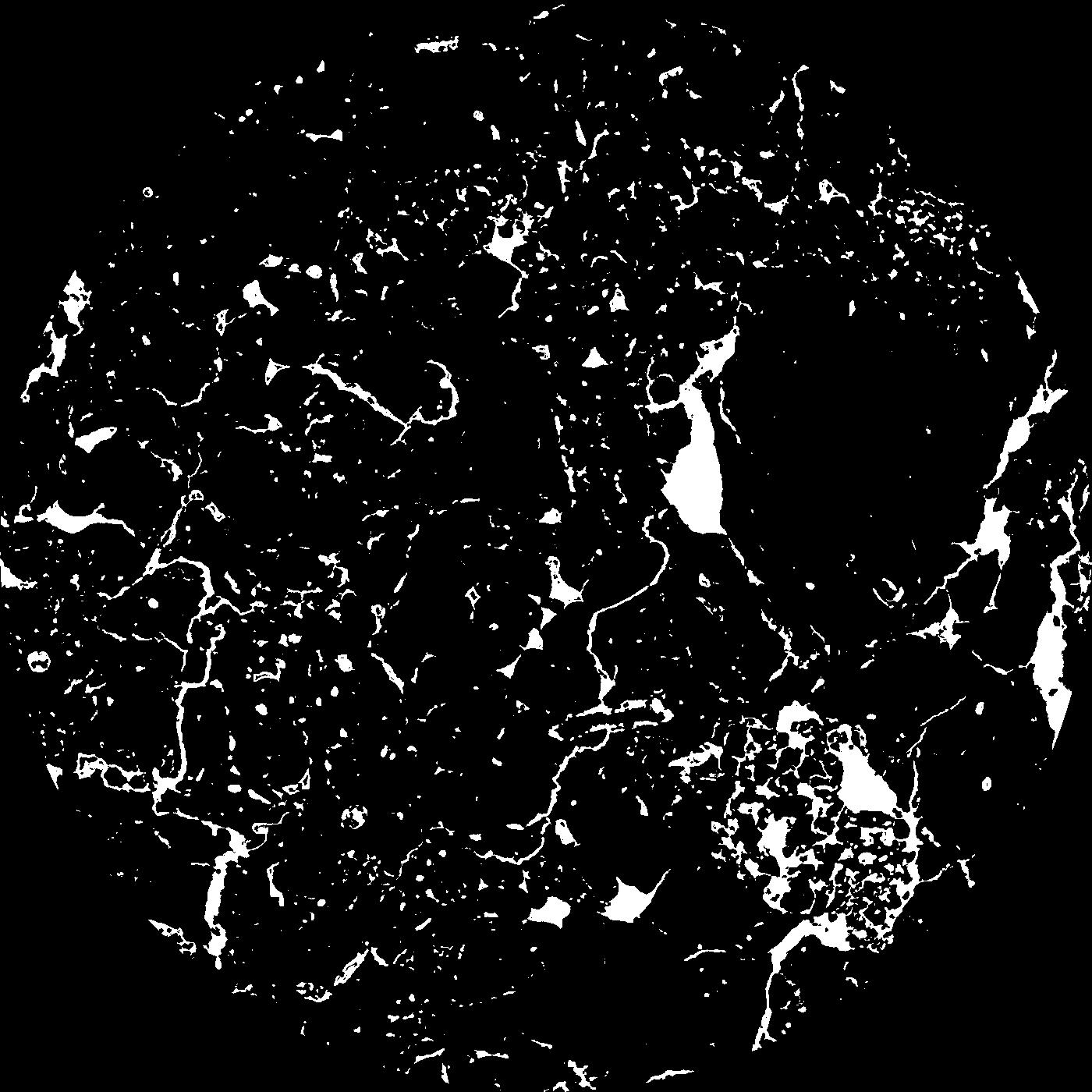
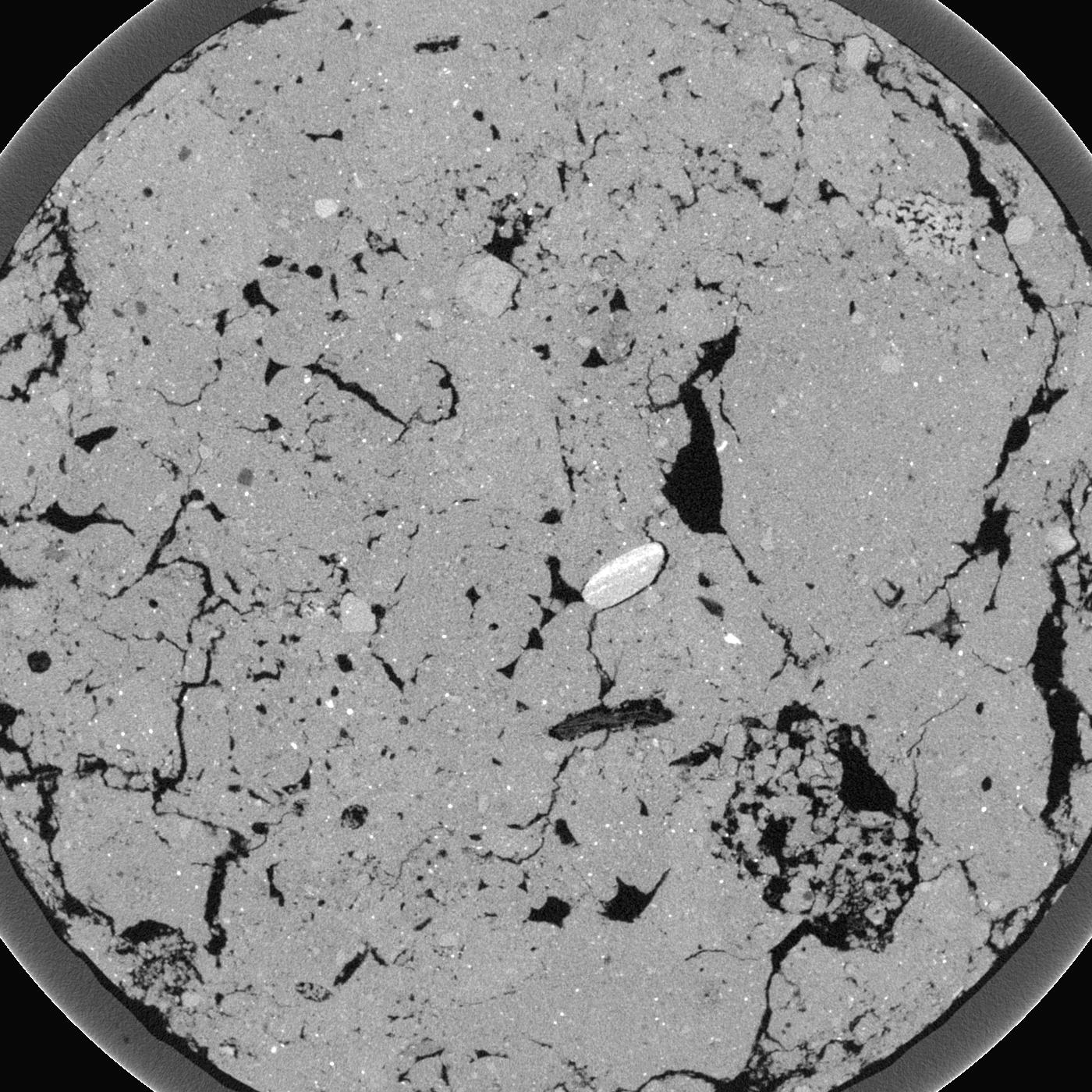
General Information
Internal Identifier Frederic Leuther
| Soil Type | Haplic Chernozem |
|---|
| Classification | FAO |
|---|
|
| Location | Bad Lauchtädt |
|---|
| Latitude | 51.39178 |
|---|
| Longitude | 11.87701 |
|---|
|
| Landuse | Cropland |
|---|
| Tillage | Conventional |
|---|
| Crop | silage maize, sugar beet, potato |
|---|
|
| Sampling Depth | 40.0 |
|---|
| Sample Height | 3.0 |
|---|
| Sampling Date | March 10, 2020 |
|---|
| Voxel size | 0.019 |
|---|
| Pores white? | True |
|---|
|
| XY Plane |

|
|---|
|
| XY Plane Grey |

|
|---|
|
| Texture | silt loam |
|---|
| Sand | 9.0 |
|---|
| Silt | 70.0 |
|---|
| Clay | 21.0 |
|---|
|
|
Results
| Porosity | Surface | Mean Curvature | Euler | MeanPoreSize | Gamma | PoreDist |
| 0.07725 | 2.461052632 | 2.972299169 | 8.569762356 | 0.0 | 0.6983 | 0.137114335 |
| Opening size | Volume | Surface | MeanCurvature | Euler number |
|---|
| 0.038 | 0.07725 | 2.461052632 | 2.972299169 | 8.569762356 |
| 0.0475 | 0.07314 | 2.077894737 | 2.283933518 | 4.611459396 |
| 0.056999999999999995 | 0.06716 | 1.768421053 | 1.837119114 | 1.108601837 |
| 0.0665 | 0.06235 | 1.554210526 | 1.582825485 | 1.697040385 |
| 0.076 | 0.06013 | 1.463157895 | 1.58531856 | 4.013704622 |
| 0.0855 | 0.04734 | 1.002105263 | 1.036842105 | 2.514943869 |
| 0.095 | 0.04215 | 0.831578947 | 0.842936288 | 2.415804053 |
| 0.114 | 0.03682 | 0.654210526 | 0.632686981 | 2.030908296 |
| 0.133 | 0.02836 | 0.402947368 | 0.304155125 | 0.855051757 |
| 0.152 | 0.02475 | 0.309842105 | 0.195263158 | 0.432993148 |
| 0.17099999999999999 | 0.02109 | 0.230315789 | 0.115761773 | 0.176498032 |
| 0.19 | 0.01965 | 0.204842105 | 0.098753463 | 0.125008019 |
| 0.209 | 0.01713 | 0.166631579 | 0.077590028 | 0.111673713 |
| 0.22799999999999998 | 0.01585 | 0.146842105 | 0.06634349 | 0.084819945 |
| 0.247 | 0.01406 | 0.122894737 | 0.05365651 | 0.073338679 |
| 0.266 | 0.0132 | 0.110947368 | 0.047285319 | 0.057040385 |
| 0.28500000000000003 | 0.01162 | 0.091736842 | 0.037590028 | 0.046114594 |
| 0.38 | 0.007321 | 0.043894737 | 0.014419945 | 0.017038927 |
| 0.47500000000000003 | 0.005206 | 0.024273684 | 0.005774238 | 0.006111532 |
| 0.5700000000000001 | 0.004223 | 0.0172 | 0.003370914 | 0.003518735 |
| 0.665 | 0.003542 | 0.013215789 | 0.002301274 | 0.002037177 |
| 0.855 | 0.002285 | 0.0072 | 0.001090803 | 0.000925995 |
| 1.045 | 0.001625 | 0.004415263 | 0.000545402 | 0.000185202 |
| 1.2349999999999999 | 0.001286 | 0.003219474 | 0.000348366 | 0.000185202 |
| 1.4249999999999998 | 0.0009921 | 0.002625789 | 0.000320194 | 0.000172197 |
| 1.615 | 0.0004808 | 0.001336842 | 0.000193532 | 0.000086099 |
| 1.805 | 0.0003946 | 0.001154211 | 0.000179457 | 0.000086099 |
Reference: An open Soil Structure Library based on X-ray CT data


