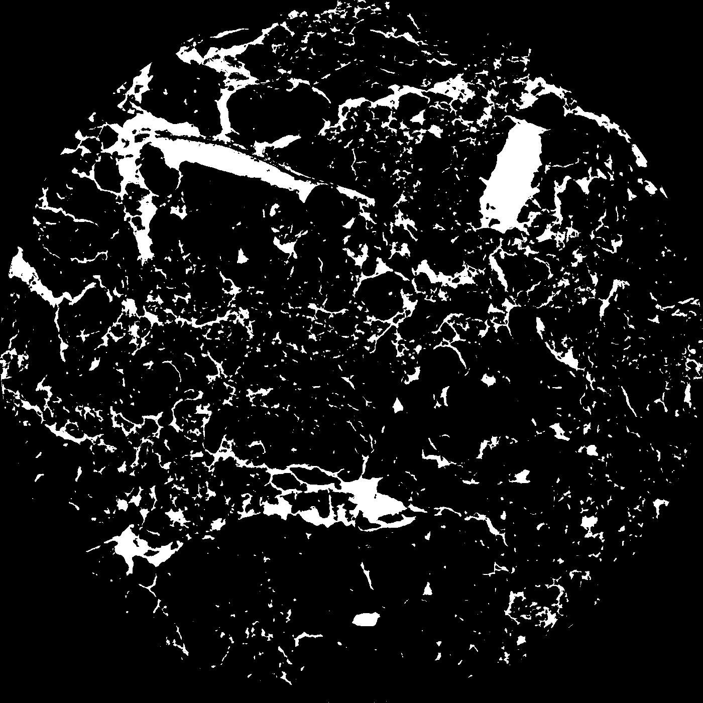
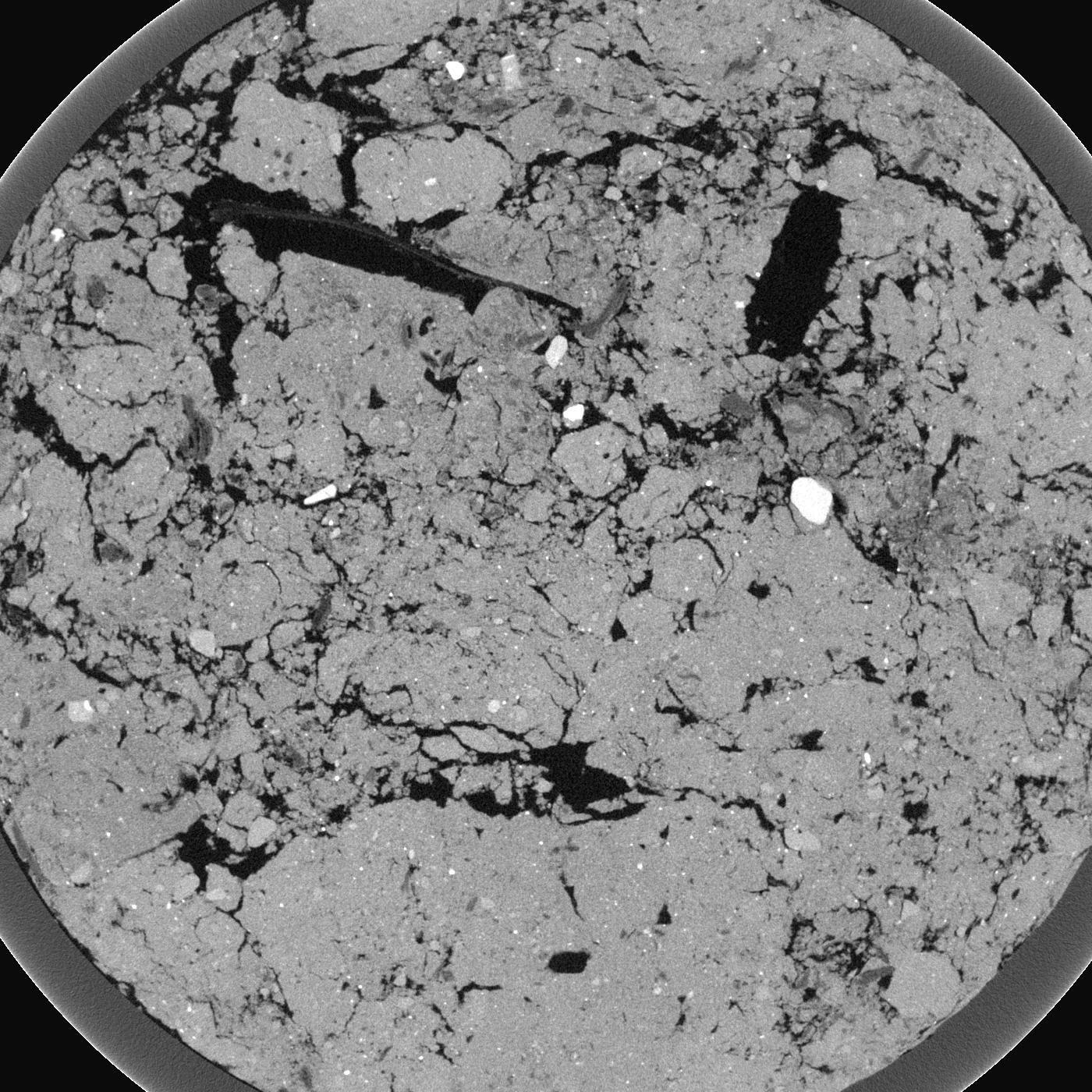
General Information
Internal Identifier Frederic Leuther
| Soil Type | Haplic Chernozem |
|---|
| Classification | FAO |
|---|
|
| Location | Bad Lauchtädt |
|---|
| Latitude | 51.39178 |
|---|
| Longitude | 11.87701 |
|---|
|
| Landuse | Cropland |
|---|
| Tillage | Conventional |
|---|
| Crop | silage maize, sugar beet, potato |
|---|
|
| Sampling Depth | 40.0 |
|---|
| Sample Height | 3.0 |
|---|
| Sampling Date | March 10, 2020 |
|---|
| Voxel size | 0.019 |
|---|
| Pores white? | True |
|---|
|
| XY Plane |

|
|---|
|
| XY Plane Grey |

|
|---|
|
| Texture | silt loam |
|---|
| Sand | 9.0 |
|---|
| Silt | 70.0 |
|---|
| Clay | 21.0 |
|---|
|
|
Results
| Porosity | Surface | Mean Curvature | Euler | MeanPoreSize | Gamma | PoreDist |
| 0.09811 | 2.325789474 | 2.411080332 | 11.676629246 | 0.0 | 0.8332 | 0.143554716 |
| Opening size | Volume | Surface | MeanCurvature | Euler number |
|---|
| 0.038 | 0.09811 | 2.325789474 | 2.411080332 | 11.676629246 |
| 0.0475 | 0.09459 | 1.983157895 | 1.641274238 | 3.071876367 |
| 0.056999999999999995 | 0.08945 | 1.717894737 | 1.266759003 | 0.611707246 |
| 0.0665 | 0.08521 | 1.533684211 | 1.071191136 | 1.023589445 |
| 0.076 | 0.08322 | 1.451052632 | 1.053462604 | 2.274384021 |
| 0.0855 | 0.07308 | 1.087368421 | 0.638781163 | 0.729129611 |
| 0.095 | 0.06939 | 0.974210526 | 0.53933518 | 0.565971716 |
| 0.114 | 0.06559 | 0.862105263 | 0.461495845 | 0.584298003 |
| 0.133 | 0.05809 | 0.677894737 | 0.31800554 | 0.34076396 |
| 0.152 | 0.05389 | 0.589473684 | 0.262188366 | 0.249088788 |
| 0.17099999999999999 | 0.04797 | 0.482473684 | 0.199473684 | 0.207610439 |
| 0.19 | 0.04499 | 0.432789474 | 0.173767313 | 0.162603878 |
| 0.209 | 0.03972 | 0.356368421 | 0.136565097 | 0.14056568 |
| 0.22799999999999998 | 0.03696 | 0.316210526 | 0.117534626 | 0.109822132 |
| 0.247 | 0.03317 | 0.268684211 | 0.096648199 | 0.096858143 |
| 0.266 | 0.03135 | 0.245210526 | 0.086509695 | 0.078709724 |
| 0.28500000000000003 | 0.02795 | 0.206578947 | 0.069889197 | 0.068523108 |
| 0.38 | 0.01883 | 0.113578947 | 0.031551247 | 0.025557661 |
| 0.47500000000000003 | 0.01332 | 0.069947368 | 0.017523546 | 0.013704622 |
| 0.5700000000000001 | 0.0093 | 0.042889474 | 0.009954571 | 0.007963552 |
| 0.665 | 0.006767 | 0.027663158 | 0.005834072 | 0.00574107 |
| 0.855 | 0.003887 | 0.011978947 | 0.001646787 | 0.000925995 |
| 1.045 | 0.003081 | 0.009126316 | 0.001178781 | 0.000925995 |
| 1.2349999999999999 | 0.002049 | 0.006373684 | 0.000957091 | 0.000370389 |
| 1.4249999999999998 | 0.0008249 | 0.002587895 | 0.000404654 | 0.000172197 |
Reference: An open Soil Structure Library based on X-ray CT data


