General Information
Internal Identifier Frederic Leuther
| Soil Type | Haplic Chernozem |
|---|
| Classification | FAO |
|---|
|
| Location | Bad Lauchtädt |
|---|
| Latitude | 51.39178 |
|---|
| Longitude | 11.87701 |
|---|
|
| Landuse | Cropland |
|---|
| Tillage | Conventional |
|---|
| Crop | silage maize, sugar beet, potato |
|---|
|
| Sampling Depth | 40.0 |
|---|
| Sample Height | 3.0 |
|---|
| Sampling Date | March 10, 2020 |
|---|
| Voxel size | 0.019 |
|---|
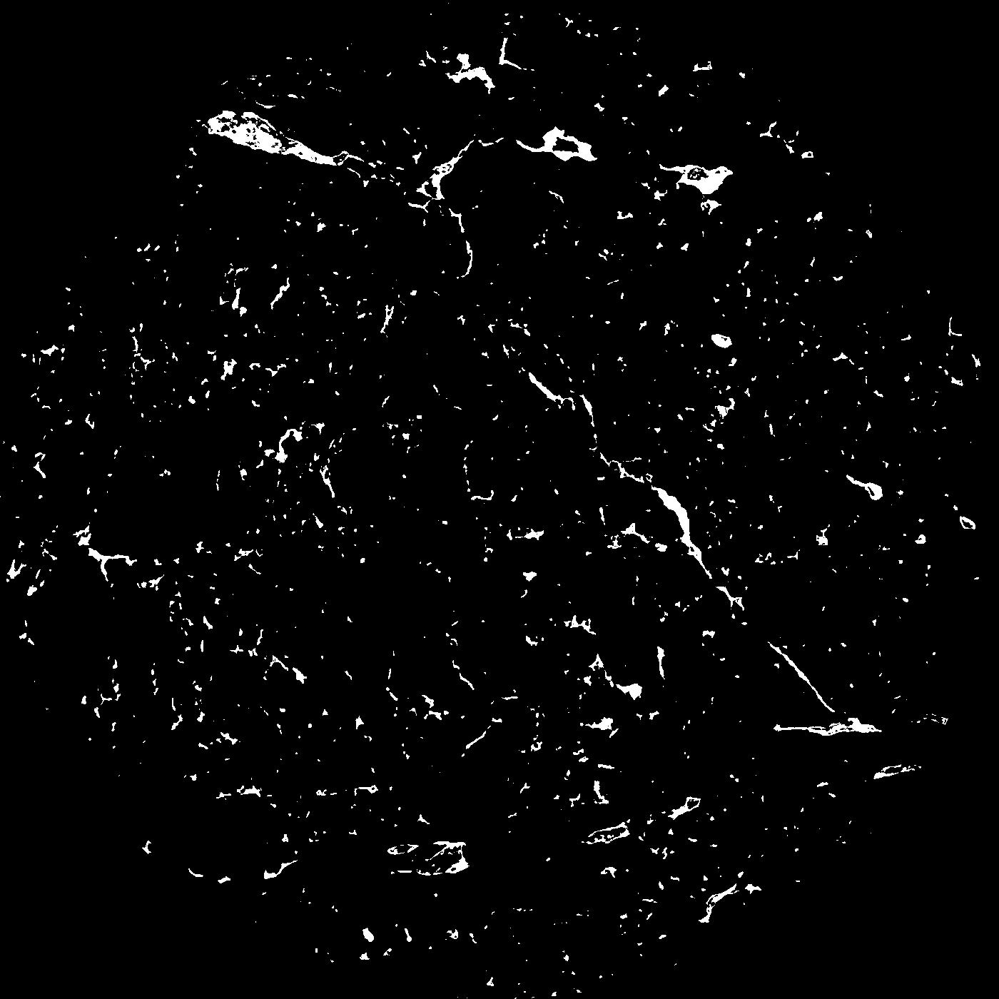
| Pores white? | True |
|---|
|
| XY Plane |

|
|---|
|
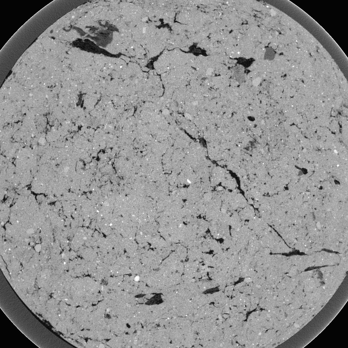
| XY Plane Grey |

|
|---|
|
| Texture | silt loam |
|---|
| Sand | 9.0 |
|---|
| Silt | 70.0 |
|---|
| Clay | 21.0 |
|---|
|
|
Results
| Porosity | Surface | Mean Curvature | Euler | MeanPoreSize | Gamma | PoreDist |
| 0.03956 | 1.479473684 | 2.290581717 | 12.223356174 | 0.0 | 0.3911 | 0.167705975 |
| Opening size | Volume | Surface | MeanCurvature | Euler number |
|---|
| 0.038 | 0.03956 | 1.479473684 | 2.290581717 | 12.223356174 |
| 0.0475 | 0.0365 | 1.2 | 1.604709141 | 6.210817903 |
| 0.056999999999999995 | 0.03215 | 0.957894737 | 1.146814404 | 3.06896049 |
| 0.0665 | 0.02879 | 0.796842105 | 0.889473684 | 2.548476454 |
| 0.076 | 0.0273 | 0.732631579 | 0.852354571 | 3.376585508 |
| 0.0855 | 0.02003 | 0.443421053 | 0.3966759 | 0.98081353 |
| 0.095 | 0.01771 | 0.366473684 | 0.306371191 | 0.703382417 |
| 0.114 | 0.01559 | 0.299684211 | 0.240470914 | 0.586703601 |
| 0.133 | 0.0118 | 0.199736842 | 0.141274238 | 0.277795597 |
| 0.152 | 0.009926 | 0.157947368 | 0.107146814 | 0.193905817 |
| 0.17099999999999999 | 0.007543 | 0.110526316 | 0.070969529 | 0.13260242 |
| 0.19 | 0.006487 | 0.091263158 | 0.05734072 | 0.101858872 |
| 0.209 | 0.004841 | 0.063894737 | 0.038448753 | 0.071115323 |
| 0.22799999999999998 | 0.004081 | 0.051631579 | 0.03033241 | 0.052041114 |
| 0.247 | 0.003122 | 0.037442105 | 0.021003601 | 0.035372503 |
| 0.266 | 0.002719 | 0.031578947 | 0.017509418 | 0.028149876 |
| 0.28500000000000003 | 0.002022 | 0.022231579 | 0.011675346 | 0.01777956 |
| 0.38 | 0.0006673 | 0.006126316 | 0.002779778 | 0.003518735 |
| 0.47500000000000003 | 0.0001918 | 0.001427368 | 0.000527812 | 0.000555591 |
| 0.5700000000000001 | 0.00006972 | 0.000433163 | 0.000130194 | 0.000086099 |
| 0.665 | 0.00003054 | 0.000170753 | 0.000049263 | 0.000043059 |
| 0.855 | 0.00002245 | 0.000135453 | 0.000042224 | 0.000043059 |
Reference: An open Soil Structure Library based on X-ray CT data


