General Information
Internal Identifier 3_B_CT_Flakkebjerg_2019
| Soil Type | Glossic phaeozem |
|---|
| Classification | WRB |
|---|
|
| Location | Denmark |
|---|
| Latitude | 55.316666666 |
|---|
| Longitude | 11.3888889 |
|---|
|
| Landuse | Cropland |
|---|
| Tillage | Conventional Inversion Tillage |
|---|
| Crop | Spring Barley, Winter wheat, Oats, Broad Beans |
|---|
|
| Sample Height | 10.0 |
|---|
| Sampling Date | Dec. 2, 2019 |
|---|
| Voxel size | 0.06 |
|---|
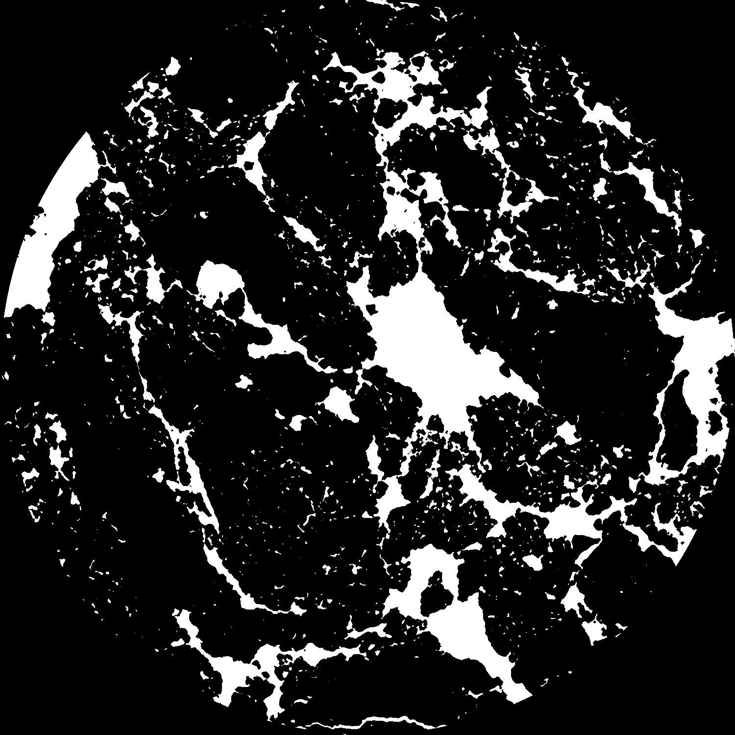
| Pores white? | True |
|---|
|
| XY Plane |

|
|---|
|
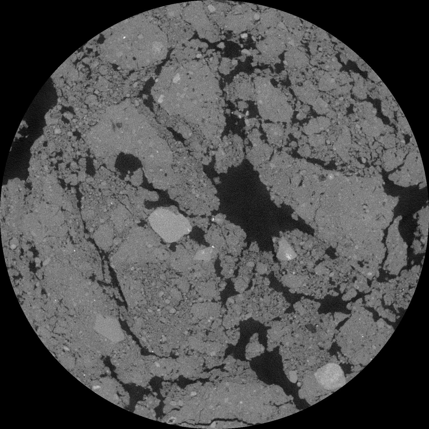
| XY Plane Grey |

|
|---|
|
| Texture | Sandy loam |
|---|
| Sand | 69.6 |
|---|
| Silt | 13.7 |
|---|
| Clay | 14.7 |
|---|
|
|
Results
| Porosity | Surface | Mean Curvature | Euler | MeanPoreSize | Gamma | PoreDist |
| 0.231663426 | 0.606566102 | 0.164400474 | 0.173007902 | 1.70433352503 | 0.952917993916 | 1.863944641 |
| Opening size | Volume | Surface | MeanCurvature | Euler number |
|---|
| 0.12 | 0.231663426 | 0.606566102 | 0.164400474 | 0.173007902 |
| 0.15 | 0.228367284 | 0.539668739 | 0.113822003 | 0.030909809 |
| 0.18 | 0.225590815 | 0.507621339 | 0.095175237 | 0.009863573 |
| 0.21 | 0.223306923 | 0.485978661 | 0.085479212 | 0.014722911 |
| 0.24 | 0.222029216 | 0.474973556 | 0.083902022 | 0.032876515 |
| 0.27 | 0.215909142 | 0.429070945 | 0.064646501 | 0.010436533 |
| 0.3 | 0.212169614 | 0.406213025 | 0.058466008 | 0.011153948 |
| 0.36 | 0.206789858 | 0.37428284 | 0.051183608 | 0.01358671 |
| 0.42 | 0.197594411 | 0.328968692 | 0.039669636 | 0.008698657 |
| 0.48 | 0.191394691 | 0.302254815 | 0.034366836 | 0.00706857 |
| 0.54 | 0.182005841 | 0.268164088 | 0.027718962 | 0.00677966 |
| 0.6 | 0.17707104 | 0.250905846 | 0.024853293 | 0.004915441 |
| 0.66 | 0.167832705 | 0.22455898 | 0.020791366 | 0.006108188 |
| 0.72 | 0.162486943 | 0.20877 | 0.018540902 | 0.003659965 |
| 0.78 | 0.154926371 | 0.190655386 | 0.016153164 | 0.004076101 |
| 0.84 | 0.151141541 | 0.180749509 | 0.014960059 | 0.002464568 |
| 0.9 | 0.144139565 | 0.165650807 | 0.013200741 | 0.002757012 |
| 1.2 | 0.118904543 | 0.117713505 | 0.008114301 | 0.001717113 |
| 1.5 | 0.097999783 | 0.08610234 | 0.005359848 | 0.001094676 |
| 1.8 | 0.080938369 | 0.06473391 | 0.003776313 | 0.000721833 |
| 2.1 | 0.065753384 | 0.048000378 | 0.002608285 | 0.00057031 |
| 2.7 | 0.044279763 | 0.027487878 | 0.001295023 | 0.000227947 |
| 3.3 | 0.02966102 | 0.015970571 | 0.000652324 | 0.000091886 |
| 3.9 | 0.020670875 | 0.00991541 | 0.000354516 | 0.000052127 |
| 4.5 | 0.014555228 | 0.006470067 | 0.000220887 | 0.000029156 |
| 5.1 | 0.010718364 | 0.004464102 | 0.000138942 | 0.000018554 |
| 5.7 | 0.006488637 | 0.002479558 | 0.000065366 | 0.000004418 |
| 6.3 | 0.004307373 | 0.001681367 | 0.00005159 | 0.000004418 |
| 6.9 | 0.002435469 | 0.00086341 | 0.000023687 | 0.000001767 |
| 7.5 | 0.001987759 | 0.000731632 | 0.000021234 | 0.000001767 |
| 8.1 | 0.001298639 | 0.000530358 | 0.000017632 | 0.000001767 |
Reference: An open Soil Structure Library based on X-ray CT data


