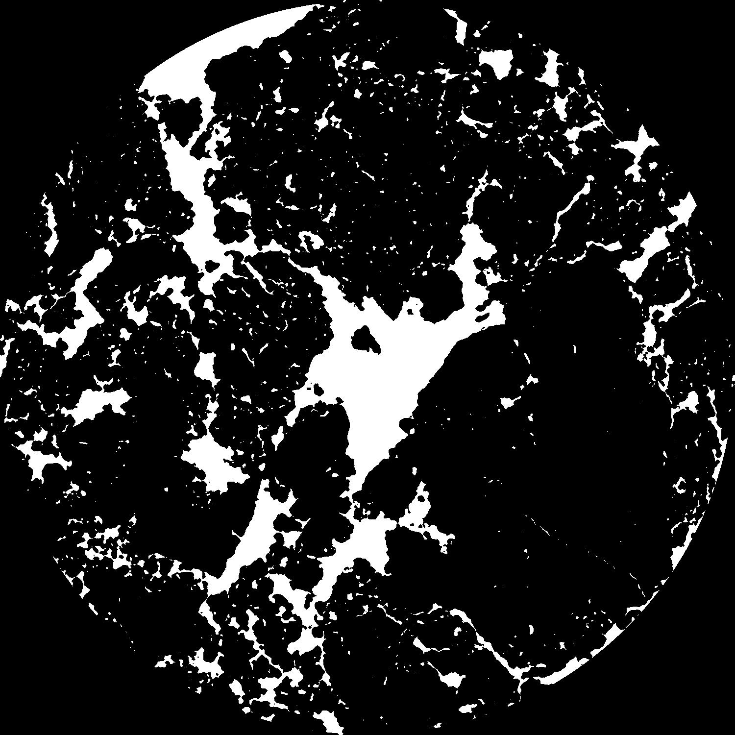
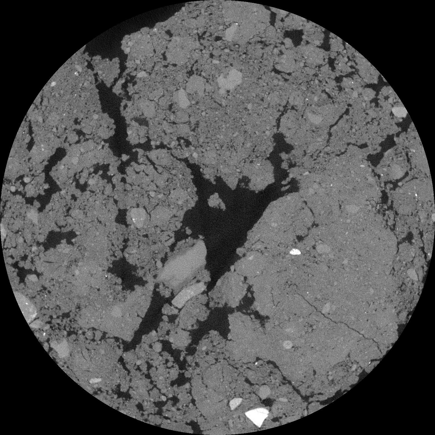
General Information
Internal Identifier 4_CC_CT_Flakkebjerg_2019
| Soil Type | Glossic phaeozem |
|---|
| Classification | WRB |
|---|
|
| Location | Denmark |
|---|
| Latitude | 55.316666666 |
|---|
| Longitude | 11.3888889 |
|---|
|
| Landuse | Cropland |
|---|
| Tillage | Conventional Inversion Tillage |
|---|
| Crop | Spring Barley, Winter wheat, Oats, Broad Beans, Oilradish as Cover Crop |
|---|
|
| Sample Height | 10.0 |
|---|
| Sampling Date | Dec. 2, 2019 |
|---|
| Voxel size | 0.06 |
|---|
| Pores white? | True |
|---|
|
| XY Plane |

|
|---|
|
| XY Plane Grey |

|
|---|
|
| Texture | Sandy loam |
|---|
| Sand | 69.6 |
|---|
| Silt | 13.7 |
|---|
| Clay | 14.7 |
|---|
|
|
Results
| Porosity | Surface | Mean Curvature | Euler | MeanPoreSize | Gamma | PoreDist |
| 0.180130677 | 0.511862467 | 0.176463173 | 0.304238747 | 1.92716999491 | 0.90756312112 | 1.854533054 |
| Opening size | Volume | Surface | MeanCurvature | Euler number |
|---|
| 0.12 | 0.180130677 | 0.511862467 | 0.176463173 | 0.304238747 |
| 0.15 | 0.176696991 | 0.444190157 | 0.116610878 | 0.074608512 |
| 0.18 | 0.173954764 | 0.411297504 | 0.094425764 | 0.040965105 |
| 0.21 | 0.171764681 | 0.389738579 | 0.083208551 | 0.039668987 |
| 0.24 | 0.170586961 | 0.379382703 | 0.08116112 | 0.055029796 |
| 0.27 | 0.164933626 | 0.334997034 | 0.059737466 | 0.025323337 |
| 0.3 | 0.161624142 | 0.313649099 | 0.052661726 | 0.02388674 |
| 0.36 | 0.156983656 | 0.284995887 | 0.044596642 | 0.021177438 |
| 0.42 | 0.14929671 | 0.245036761 | 0.032465215 | 0.012442115 |
| 0.48 | 0.144336948 | 0.222694734 | 0.027129302 | 0.009176198 |
| 0.54 | 0.136978294 | 0.195016334 | 0.020975943 | 0.007329649 |
| 0.6 | 0.133215315 | 0.181582111 | 0.018508194 | 0.004994516 |
| 0.66 | 0.126182502 | 0.161103334 | 0.015082117 | 0.00522423 |
| 0.72 | 0.122092289 | 0.148901103 | 0.013261484 | 0.003348526 |
| 0.78 | 0.116443452 | 0.135090747 | 0.011325047 | 0.003583099 |
| 0.84 | 0.113641065 | 0.127636162 | 0.010344725 | 0.002157546 |
| 0.9 | 0.108417211 | 0.116076685 | 0.008836598 | 0.002057709 |
| 1.2 | 0.090279884 | 0.081577512 | 0.005151249 | 0.001203349 |
| 1.5 | 0.076270051 | 0.060707734 | 0.003358268 | 0.000698861 |
| 1.8 | 0.064801994 | 0.047020271 | 0.002450111 | 0.000401116 |
| 2.1 | 0.054126606 | 0.035680269 | 0.001717075 | 0.000348105 |
| 2.7 | 0.038380181 | 0.02169318 | 0.000973917 | 0.000152848 |
| 3.3 | 0.027018942 | 0.012778507 | 0.000484417 | 0.000060963 |
| 3.9 | 0.020605552 | 0.00856586 | 0.00028876 | 0.00003269 |
| 4.5 | 0.015708825 | 0.005699396 | 0.00016767 | 0.000019437 |
| 5.1 | 0.012399154 | 0.004062569 | 0.000111471 | 0.000015903 |
| 5.7 | 0.010301258 | 0.003106375 | 0.000078156 | 0.000012369 |
| 6.3 | 0.009068197 | 0.002613561 | 0.000062409 | 0.000008835 |
| 6.9 | 0.007527592 | 0.001922023 | 0.000035645 | 0.000005301 |
| 7.5 | 0.007059877 | 0.001805092 | 0.000034133 | 0.000003534 |
| 8.1 | 0.006515332 | 0.001675051 | 0.000032403 | 0.000001767 |
| 8.7 | 0.005611179 | 0.001477056 | 0.000030129 | 0.000003534 |
| 9.3 | 0.004998968 | 0.001343188 | 0.000028519 | 0.000001767 |
| 9.9 | 0.004187654 | 0.001161689 | 0.000026068 | 0.000001767 |
| 10.5 | 0.003637985 | 0.001040933 | 0.000024469 | 0.000001767 |
| 11.1 | 0.003190657 | 0.00094912 | 0.000023269 | 0.000001767 |
Reference: An open Soil Structure Library based on X-ray CT data


