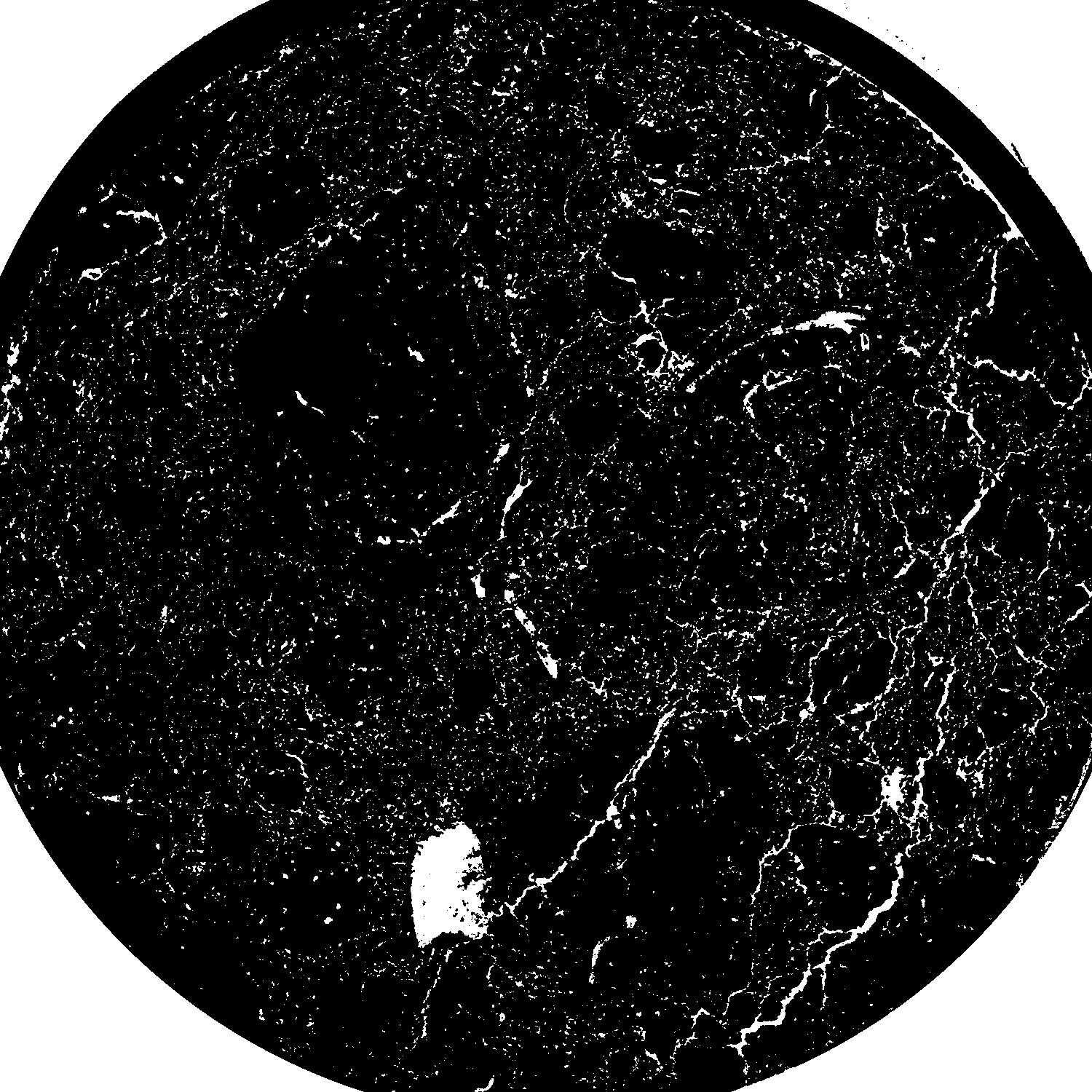
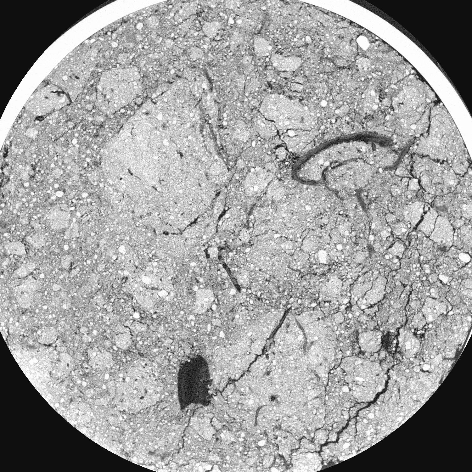
General Information
|
|
||||||||||||||
|
|
||||||||||||||
|
|
Results
| Porosity | Surface | Mean Curvature | Euler | MeanPoreSize | Gamma | PoreDist |
|---|---|---|---|---|---|---|
| 0.057437298 | 2.013919708 | 4.236711153 | 39.123613384 | 0.16868624581 | 0.229828040351 | 0.153619631 |
| Opening size | Volume | Surface | MeanCurvature | Euler number |
|---|---|---|---|---|
| 0.07 | 0.057437298 | 2.013919708 | 4.236711153 | 39.123613384 |
| 0.0875 | 0.039201222 | 1.003373185 | 1.403967607 | 5.753952066 |
| 0.105 | 0.028169568 | 0.571926347 | 0.582021866 | 1.369375535 |
| 0.1225 | 0.023110376 | 0.413323349 | 0.367525534 | 0.812452748 |
| 0.14 | 0.021377374 | 0.368953769 | 0.343559378 | 1.015906298 |
| 0.1575 | 0.014122276 | 0.18448221 | 0.123612473 | 0.240536923 |
| 0.175 | 0.011944203 | 0.139704909 | 0.085141004 | 0.164176158 |
| 0.21 | 0.010034505 | 0.102718387 | 0.056737472 | 0.113833125 |
| 0.245 | 0.007292142 | 0.056394988 | 0.02120621 | 0.031330468 |
| 0.28 | 0.006225996 | 0.041803578 | 0.012516521 | 0.014358376 |
| 0.315 | 0.005162152 | 0.029458116 | 0.006324141 | 0.004606418 |
| 0.35 | 0.004768959 | 0.025708284 | 0.005017577 | 0.002770675 |
| 0.385 | 0.004106822 | 0.020353432 | 0.003552867 | 0.002231554 |
| 0.42 | 0.003812085 | 0.018032532 | 0.002953653 | 0.001187432 |
| 0.455 | 0.003416246 | 0.015537762 | 0.002520533 | 0.001071419 |
| 0.49 | 0.003224366 | 0.014207193 | 0.002200127 | 0.000566419 |
| 0.525 | 0.002864754 | 0.012262226 | 0.0019211 | 0.000737027 |
| 0.7 | 0.001673868 | 0.006443686 | 0.001011245 | 0.000334392 |
| 0.875 | 0.000861171 | 0.002932797 | 0.000454237 | 0.000163784 |
| 1.05 | 0.000498384 | 0.001528602 | 0.000223438 | 0.000081892 |
| 1.225 | 0.00029285 | 0.000822242 | 0.000106271 | 0.000027297 |
| 1.575 | 0.000074072 | 0.000254692 | 0.000047122 | 0.000027297 |


